-
Administrative, Civil Parish, Village 51.80461, -1.30894 0.78 kms (S) Yarnton Cherwell Oxfordshire South East England United Kingdom
-
Pub 51.78014, -1.2992 3.57 kms (SSE) Wolvercote Oxford Oxfordshire South East England United Kingdom
-
Bridge, Road Bridge, Tertiary 51.77955, -1.2998 3.63 kms (S) Oxford Oxfordshire South East England United Kingdom
-
Village 51.7843, -1.28954 3.33 kms (SSE) Wolvercote Oxford Oxfordshire South East England United Kingdom
-
Abbey, Archaeological-site 51.77835, -1.29994 3.76 kms (S) Oxford Oxfordshire South East England United Kingdom
-
Administrative, Civil Parish, Village 51.77482, -1.3116 4.1 kms (S) Vale of White Horse Oxfordshire South East England United Kingdom
-
Administrative, Civil Parish, Village 51.79905, -1.34559 2.86 kms (WSW) Cassington West Oxfordshire Oxfordshire South East England United Kingdom
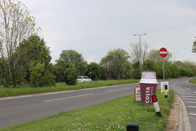
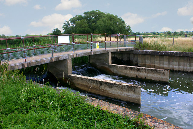
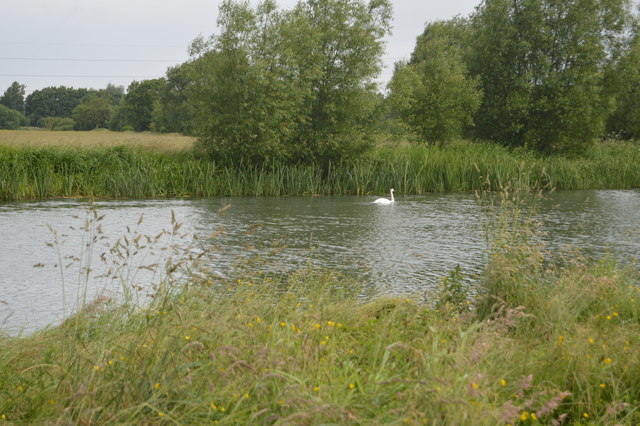
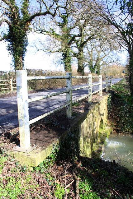
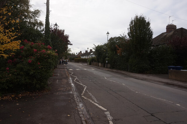
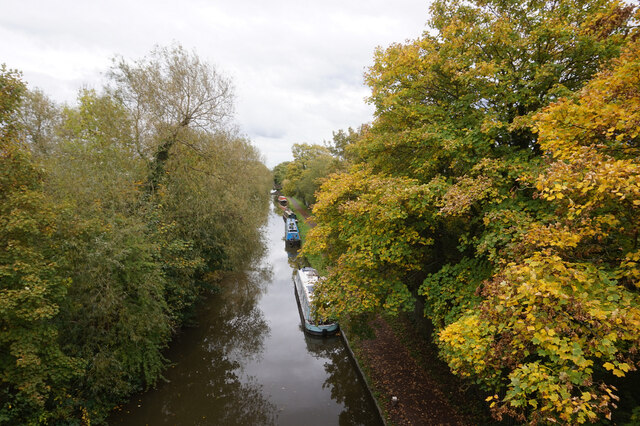
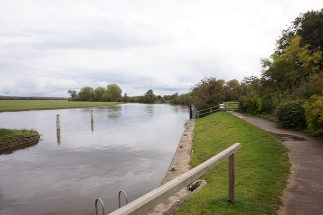
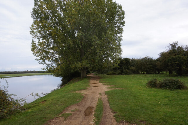
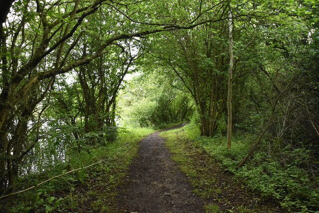
51.81163,-1.30935 30/10/2014 Roger Templeman CC BY-SA 2.0 0 kms (N)
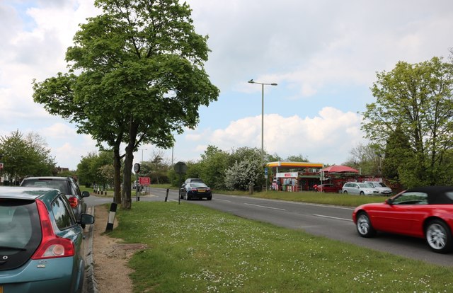
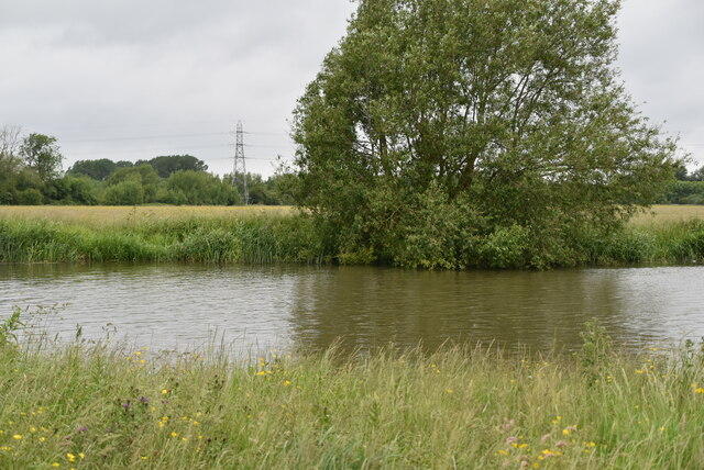
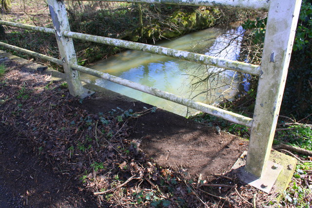
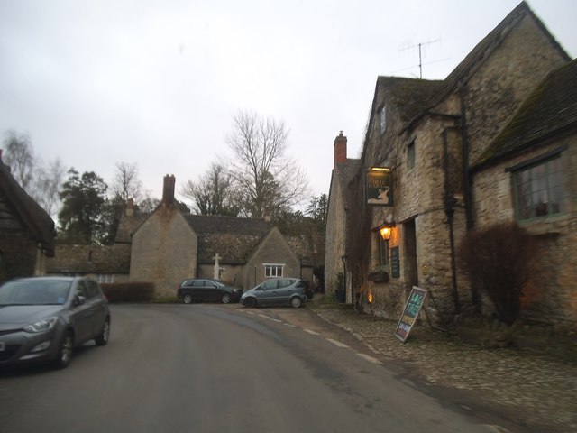
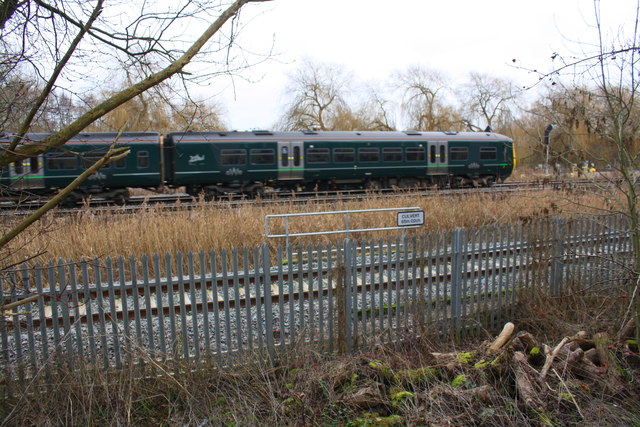
51.81181,-1.31051 11/08/2019 Robin Webster CC BY-SA 2.0 0.08 kms (WNW)
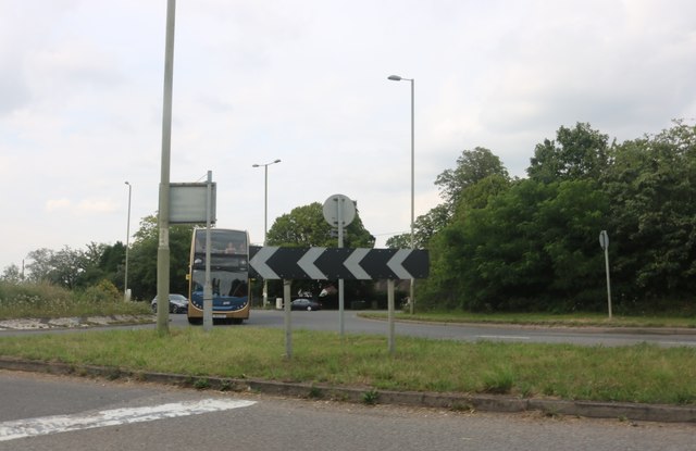
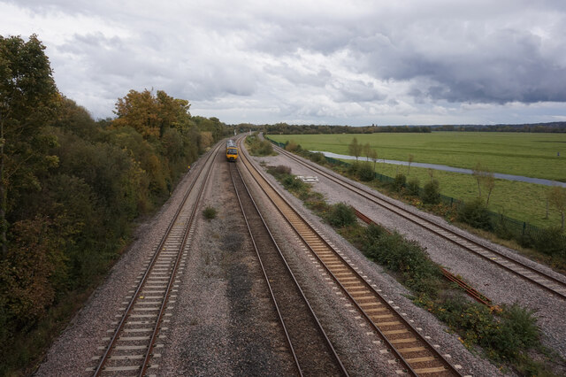
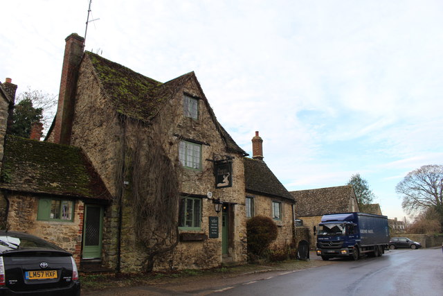
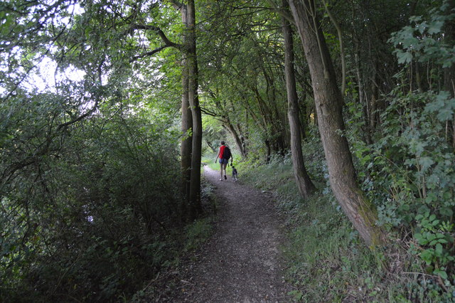
51.81053,-1.30719 08/12/2014 Des Blenkinsopp CC BY-SA 2.0 0.19 kms (SE)
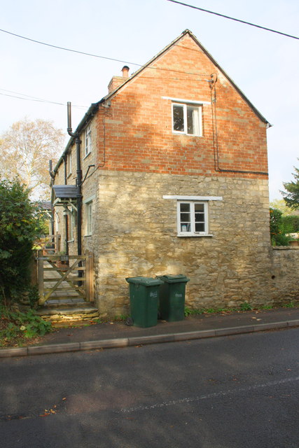
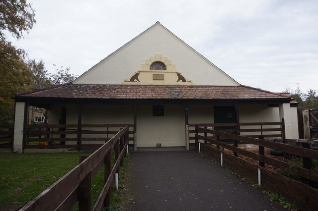
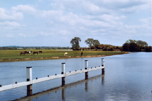
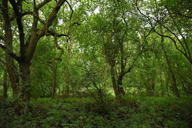
51.81026,-1.30691 27/02/2016 Colin Pyle CC BY-SA 2.0 0.23 kms (SE)
51.80972,-1.30634 11/05/2019 David Howard CC BY-SA 2.0 0.3 kms (SE)
51.80954,-1.30619 11/05/2019 David Howard CC BY-SA 2.0 0.32 kms (SE)
51.81344,-1.31281 03/08/2019 David Howard CC BY-SA 2.0 0.31 kms (NW)
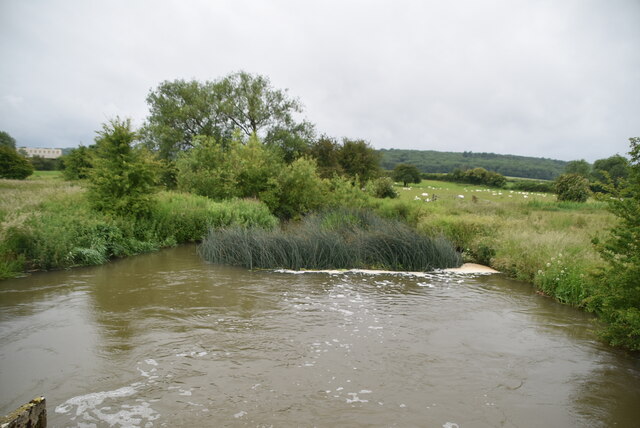
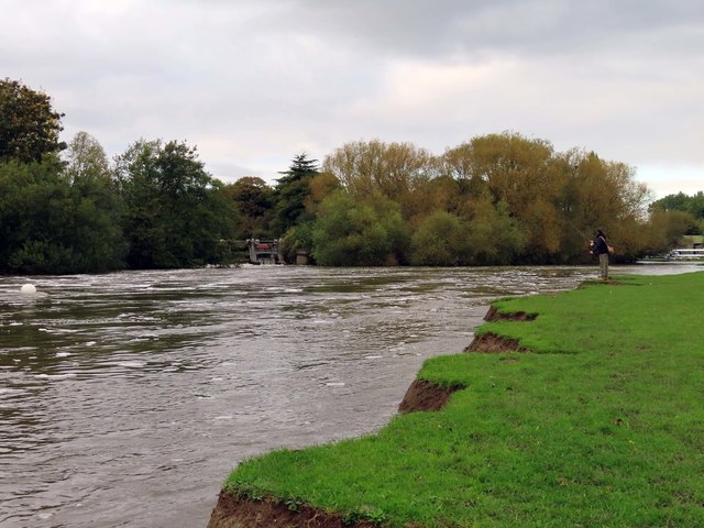
51.80481,-1.31294 30/10/2014 Roger Templeman CC BY-SA 2.0 0.8 kms (SSW)
51.80481,-1.31294 30/10/2014 Roger Templeman CC BY-SA 2.0 0.8 kms (SSW)
51.80473,-1.31395 24/04/2019 Steve Daniels CC BY-SA 2.0 0.83 kms (SSW)
51.80474,-1.3154 10/07/2014 Shaun Ferguson CC BY-SA 2.0 0.87 kms (SSW)
51.80566,-1.31887 24/04/2019 Steve Daniels CC BY-SA 2.0 0.93 kms (SW)
51.80566,-1.31887 24/04/2019 Steve Daniels CC BY-SA 2.0 0.93 kms (SW)
51.79278,-1.31617 19/01/2020 Robin Webster CC BY-SA 2.0 2.15 kms (SSW)

51.79203,-1.32531 23/05/2020 David Howard CC BY-SA 2.0 2.44 kms (SSW)
51.78749,-1.31784 16/06/2019 N Chadwick CC BY-SA 2.0 2.75 kms (SSW)
51.7874,-1.31784 12/07/2020 David Kemp CC BY-SA 2.0 2.76 kms (SSW)
51.78704,-1.31814 16/06/2019 N Chadwick CC BY-SA 2.0 2.8 kms (SSW)
51.78714,-1.32045 17/06/2018 N Chadwick CC BY-SA 2.0 2.83 kms (SSW)
51.7916,-1.32836 18/06/2017 N Chadwick CC BY-SA 2.0 2.58 kms (SSW)
51.78698,-1.32292 17/06/2018 N Chadwick CC BY-SA 2.0 2.89 kms (SSW)
51.79197,-1.3301 12/09/2019 David Howard CC BY-SA 2.0 2.61 kms (SSW)
51.79169,-1.32996 19/01/2020 Robin Webster CC BY-SA 2.0 2.63 kms (SSW)
51.80063,-1.33606 22/05/2010 Michael Trolove CC BY-SA 2.0 2.21 kms (SW)

51.7917,-1.33068 18/03/2019 Lewis Clarke CC BY-SA 2.0 2.66 kms (SSW)
51.78681,-1.32539 17/06/2018 N Chadwick CC BY-SA 2.0 2.97 kms (SSW)
51.78736,-1.3264 17/06/2018 N Chadwick CC BY-SA 2.0 2.94 kms (SSW)
51.78718,-1.32669 16/06/2019 N Chadwick CC BY-SA 2.0 2.97 kms (SSW)
51.78574,-1.32642 17/06/2018 N Chadwick CC BY-SA 2.0 3.11 kms (SSW)
51.79623,-1.33641 28/11/2009 Shaun Ferguson CC BY-SA 2.0 2.53 kms (SW)
51.79956,-1.33811 07/03/2016 Roger Templeman CC BY-SA 2.0 2.39 kms (SW)
51.79947,-1.3384 07/03/2016 Roger Templeman CC BY-SA 2.0 2.41 kms (SW)
51.79947,-1.3384 07/03/2016 Roger Templeman CC BY-SA 2.0 2.41 kms (SW)
51.78539,-1.32773 17/06/2018 N Chadwick CC BY-SA 2.0 3.18 kms (SSW)
51.80245,-1.34024 19/03/2014 Steve Daniels CC BY-SA 2.0 2.36 kms (WSW)
51.78539,-1.3286 17/06/2018 N Chadwick CC BY-SA 2.0 3.2 kms (SSW)
51.7853,-1.3286 16/06/2019 N Chadwick CC BY-SA 2.0 3.21 kms (SSW)
51.78134,-1.29633 26/02/2021 Steve Daniels CC BY-SA 2.0 3.48 kms (SSE)
51.78134,-1.29633 01/01/2021 Steve Daniels CC BY-SA 2.0 3.48 kms (SSE)
51.80129,-1.34084 12/09/2019 David Howard CC BY-SA 2.0 2.45 kms (WSW)
51.78001,-1.2994 19/08/2021 Rob Farrow CC BY-SA 2.0 3.58 kms (SSE)
51.80138,-1.34098 19/03/2014 Steve Daniels CC BY-SA 2.0 2.45 kms (WSW)
51.77974,-1.29969 19/08/2021 Rob Farrow CC BY-SA 2.0 3.61 kms (S)
51.77983,-1.29926 19/08/2021 Rob Farrow CC BY-SA 2.0 3.6 kms (SSE)
51.77974,-1.29926 09/10/2020 Ian S CC BY-SA 2.0 3.61 kms (SSE)
51.78107,-1.29576 01/01/2021 Steve Daniels CC BY-SA 2.0 3.52 kms (SSE)
51.77965,-1.29911 19/08/2021 Rob Farrow CC BY-SA 2.0 3.62 kms (SSE)
51.80246,-1.34169 19/03/2014 Steve Daniels CC BY-SA 2.0 2.45 kms (WSW)
51.79606,-1.33917 01/01/1970 john shortland CC BY-SA 2.0 2.68 kms (SW)
51.784,-1.29006 09/10/2020 Ian S CC BY-SA 2.0 3.35 kms (SSE)
51.78088,-1.29518 01/01/2021 Steve Daniels CC BY-SA 2.0 3.55 kms (SSE)
51.78541,-1.33092 17/06/2018 N Chadwick CC BY-SA 2.0 3.27 kms (SSW)
51.78613,-1.33178 16/06/2019 N Chadwick CC BY-SA 2.0 3.23 kms (SSW)
51.79787,-1.34045 23/10/2010 andrew auger CC BY-SA 2.0 2.63 kms (SW)
51.80399,-1.34254 23/10/2013 Des Blenkinsopp CC BY-SA 2.0 2.43 kms (WSW)
51.78017,-1.29606 26/02/2021 Steve Daniels CC BY-SA 2.0 3.62 kms (SSE)
51.78426,-1.28875 09/10/2020 Ian S CC BY-SA 2.0 3.36 kms (SSE)
51.7967,-1.34047 25/01/2007 Jonathan Billinger CC BY-SA 2.0 2.71 kms (SW)
51.77699,-1.30626 21/02/2016 David Howard CC BY-SA 2.0 3.86 kms (S)
51.7856,-1.33266 17/06/2018 N Chadwick CC BY-SA 2.0 3.31 kms (SSW)
51.77865,-1.29725 26/02/2021 Steve Daniels CC BY-SA 2.0 3.76 kms (SSE)
51.77811,-1.29827 26/02/2021 Steve Daniels CC BY-SA 2.0 3.8 kms (SSE)
51.78523,-1.28584 11/07/2020 Stephen McKay CC BY-SA 2.0 3.35 kms (SSE)

51.78416,-1.28658 09/10/2020 Ian S CC BY-SA 2.0 3.43 kms (SSE)
51.78487,-1.2857 11/07/2020 Stephen McKay CC BY-SA 2.0 3.39 kms (SSE)
51.78469,-1.28541 09/10/2020 Ian S CC BY-SA 2.0 3.42 kms (SSE)
51.77739,-1.2977 20/10/2019 Steve Daniels CC BY-SA 2.0 3.89 kms (SSE)
51.78433,-1.28556 09/10/2020 Ian S CC BY-SA 2.0 3.45 kms (SSE)
51.78567,-1.28409 09/10/2020 Ian S CC BY-SA 2.0 3.37 kms (SSE)
51.77531,-1.31078 21/02/2016 David Howard CC BY-SA 2.0 4.04 kms (S)
51.77686,-1.29858 09/10/2020 Ian S CC BY-SA 2.0 3.94 kms (S)
51.77685,-1.29814 07/06/2014 Wayland Smith CC BY-SA 2.0 3.94 kms (SSE)
51.77505,-1.31223 21/02/2016 David Howard CC BY-SA 2.0 4.07 kms (S)
51.77658,-1.29815 09/10/2020 Ian S CC BY-SA 2.0 3.97 kms (SSE)
51.77469,-1.31195 21/02/2016 David Howard CC BY-SA 2.0 4.11 kms (S)
51.7746,-1.31209 07/12/2016 Roger Davies CC BY-SA 2.0 4.12 kms (S)

51.7848,-1.33513 17/06/2018 N Chadwick CC BY-SA 2.0 3.47 kms (SSW)
51.77613,-1.29685 01/01/1970 Des Blenkinsopp CC BY-SA 2.0 4.04 kms (SSE)
51.77369,-1.31008 21/02/2016 David Howard CC BY-SA 2.0 4.22 kms (S)
51.77389,-1.31341 07/03/2017 Steve Daniels CC BY-SA 2.0 4.21 kms (S)
51.77359,-1.30964 21/02/2016 David Howard CC BY-SA 2.0 4.23 kms (S)
51.77371,-1.31312 27/10/2020 Basher Eyre CC BY-SA 2.0 4.22 kms (S)
51.77361,-1.31298 07/12/2016 Roger Davies CC BY-SA 2.0 4.23 kms (S)
51.77362,-1.31312 07/03/2017 Steve Daniels CC BY-SA 2.0 4.23 kms (S)
51.77362,-1.31341 02/06/2013 Dave Price CC BY-SA 2.0 4.24 kms (S)
51.77332,-1.30936 21/02/2016 David Howard CC BY-SA 2.0 4.26 kms (S)
51.77495,-1.29614 09/10/2020 Ian S CC BY-SA 2.0 4.18 kms (SSE)
51.78491,-1.33803 16/06/2019 N Chadwick CC BY-SA 2.0 3.57 kms (SSW)
51.78491,-1.33817 16/06/2019 N Chadwick CC BY-SA 2.0 3.57 kms (SSW)
51.78337,-1.33689 16/06/2019 N Chadwick CC BY-SA 2.0 3.67 kms (SSW)
51.786,-1.27843 15/06/2019 N Chadwick CC BY-SA 2.0 3.56 kms (SE)

51.78456,-1.34035 16/06/2019 N Chadwick CC BY-SA 2.0 3.69 kms (SW)
51.785,-1.27772 18/07/2021 Robin Webster CC BY-SA 2.0 3.67 kms (SE)
51.78276,-1.33922 16/06/2019 N Chadwick CC BY-SA 2.0 3.81 kms (SSW)
51.77978,-1.33709 16/06/2019 N Chadwick CC BY-SA 2.0 4.02 kms (SSW)
51.78089,-1.34287 16/06/2019 N Chadwick CC BY-SA 2.0 4.12 kms (SSW)
51.7752,-1.28209 02/01/2019 Roger Templeman CC BY-SA 2.0 4.46 kms (SSE)
51.77532,-1.28193 02/01/2019 Roger Templeman CC BY-SA 2.0 4.46 kms (SSE)
51.77517,-1.28208 01/01/1970 Milestone Society CC BY-SA 2.0 4.47 kms (SSE)
51.78008,-1.34346 16/06/2019 N Chadwick CC BY-SA 2.0 4.22 kms (SSW)
51.7791,-1.34435 16/06/2019 N Chadwick CC BY-SA 2.0 4.34 kms (SSW)
51.77565,-1.27686 02/01/2019 Roger Templeman CC BY-SA 2.0 4.58 kms (SSE)
51.77749,-1.34683 18/06/2017 N Chadwick CC BY-SA 2.0 4.59 kms (SW)
51.77723,-1.34713 11/04/2012 Shaun Ferguson CC BY-SA 2.0 4.62 kms (SW)
51.77677,-1.34685 18/06/2017 N Chadwick CC BY-SA 2.0 4.65 kms (SSW)
51.77723,-1.34756 16/06/2019 N Chadwick CC BY-SA 2.0 4.64 kms (SW)
51.77723,-1.34756 24/04/2016 David Purchase CC BY-SA 2.0 4.64 kms (SW)
51.77687,-1.34829 06/09/2016 Vieve Forward CC BY-SA 2.0 4.7 kms (SW)
51.77669,-1.34859 22/02/2016 Roger Templeman CC BY-SA 2.0 4.73 kms (SW)
51.77678,-1.34873 17/06/2018 N Chadwick CC BY-SA 2.0 4.73 kms (SW)
51.77669,-1.34873 28/05/2011 Philip Halling CC BY-SA 2.0 4.73 kms (SW)
51.7767,-1.34902 18/06/2017 N Chadwick CC BY-SA 2.0 4.75 kms (SW)