-
Administrative, Civil Parish, Village 51.68422, -1.70362 1.38 kms (N) Swindon South West England United Kingdom
-
Marina 51.6927, -1.6959 2.42 kms (NNE) Lechlade Cotswold Gloucestershire South West England United Kingdom
-
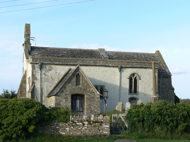
Place of Worship 51.6939, -1.69045 2.69 kms (NNE) Lechlade Cotswold Gloucestershire South West England United Kingdom
-
Bathing-place, Wharf 51.68396, -1.67661 2.47 kms (ENE) Vale of White Horse Oxfordshire South East England United Kingdom
-
Bridge, Road Bridge, Yes 51.68975, -1.6788 2.76 kms (NE) Lechlade Cotswold Gloucestershire South West England United Kingdom
-
Pub 51.69031, -1.67835 2.83 kms (NE) Lechlade Cotswold Gloucestershire South West England United Kingdom
-
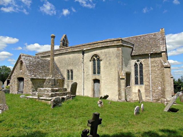
Place of Worship 51.68159, -1.67365 2.52 kms (ENE) Vale of White Horse Oxfordshire South East England United Kingdom
-
Administrative, Civil Parish, Village 51.67616, -1.66705 2.77 kms (E) Vale of White Horse Oxfordshire South East England United Kingdom
51.67195,-1.70669 04/01/2007 Jonathan Billinger CC BY-SA 2.0 0 kms (N)
51.67293,-1.70625 01/12/2013 Vieve Forward CC BY-SA 2.0 0.11 kms (NNE)
51.67545,-1.70537 07/07/2011 Row17 CC BY-SA 2.0 0.4 kms (NNE)
51.67232,-1.71059 09/05/2018 Dave Kelly CC BY-SA 2.0 0.27 kms (W)
51.67554,-1.70493 01/08/2010 Shaun Ferguson CC BY-SA 2.0 0.42 kms (NNE)
51.67635,-1.70493 13/09/2012 Stuart Logan CC BY-SA 2.0 0.5 kms (NNE)
51.67626,-1.70435 30/04/2011 Philip Halling CC BY-SA 2.0 0.51 kms (NNE)
51.67283,-1.70119 01/12/2013 Vieve Forward CC BY-SA 2.0 0.39 kms (ENE)
51.6769,-1.7097 09/05/2018 Dave Kelly CC BY-SA 2.0 0.59 kms (NNW)
51.67833,-1.70636 08/10/2016 David Purchase CC BY-SA 2.0 0.71 kms (N)
51.67832,-1.70332 19/01/2020 Robin Webster CC BY-SA 2.0 0.75 kms (NNE)
51.67895,-1.70202 30/04/2011 Philip Halling CC BY-SA 2.0 0.84 kms (NNE)
51.66675,-1.71511 08/10/2016 David Purchase CC BY-SA 2.0 0.82 kms (SW)
51.6802,-1.69883 11/10/2009 andrew auger CC BY-SA 2.0 1.07 kms (NNE)
51.66739,-1.71742 08/10/2016 David Purchase CC BY-SA 2.0 0.9 kms (SW)
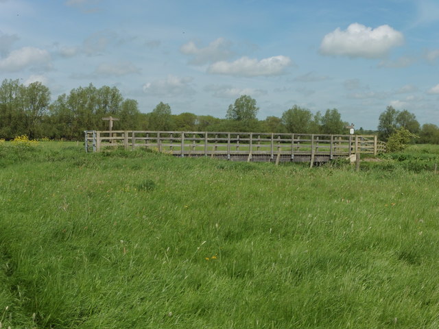
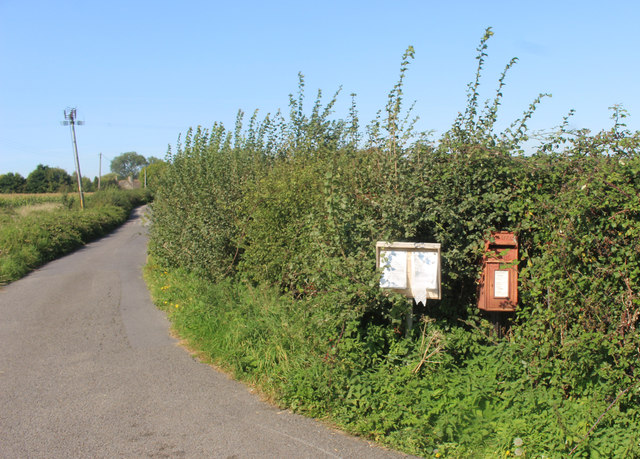
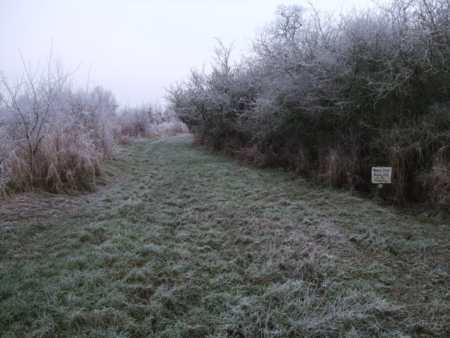
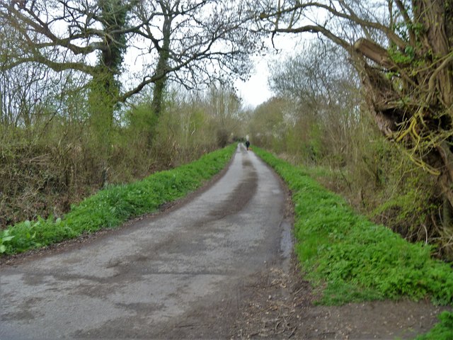
51.6839,-1.70604 01/01/1970 Des Blenkinsopp CC BY-SA 2.0 1.33 kms (N)
51.68281,-1.70156 14/09/2020 Des Blenkinsopp CC BY-SA 2.0 1.26 kms (NNE)
51.68399,-1.70632 19/09/2006 Brian Robert Marshall CC BY-SA 2.0 1.34 kms (N)
51.68417,-1.70531 14/09/2020 Des Blenkinsopp CC BY-SA 2.0 1.36 kms (N)
51.68417,-1.70444 01/01/1970 AJD CC BY-SA 2.0 1.37 kms (N)
51.68426,-1.70488 14/09/2020 Des Blenkinsopp CC BY-SA 2.0 1.37 kms (N)
51.66973,-1.71914 09/05/2018 Dave Kelly CC BY-SA 2.0 0.89 kms (WSW)
51.66685,-1.71916 01/08/2010 Shaun Ferguson CC BY-SA 2.0 1.03 kms (SW)
51.66901,-1.72016 16/01/2013 Vieve Forward CC BY-SA 2.0 0.98 kms (WSW)
51.66685,-1.71959 16/01/2013 Vieve Forward CC BY-SA 2.0 1.05 kms (WSW)
51.68552,-1.70342 03/04/2019 Michael Dibb CC BY-SA 2.0 1.53 kms (N)

51.66658,-1.71959 22/05/2007 Brian Robert Marshall CC BY-SA 2.0 1.07 kms (SW)
51.68597,-1.70385 03/04/2019 Michael Dibb CC BY-SA 2.0 1.57 kms (N)
51.68632,-1.70342 03/04/2019 Michael Dibb CC BY-SA 2.0 1.61 kms (N)
51.68741,-1.70558 03/04/2019 Michael Dibb CC BY-SA 2.0 1.72 kms (N)
51.6875,-1.70572 03/04/2019 Michael Dibb CC BY-SA 2.0 1.73 kms (N)
51.68786,-1.70543 03/04/2019 Michael Dibb CC BY-SA 2.0 1.77 kms (N)
51.68795,-1.70543 03/04/2019 Michael Dibb CC BY-SA 2.0 1.78 kms (N)
51.66578,-1.72162 30/04/2011 Philip Halling CC BY-SA 2.0 1.24 kms (SW)
51.68822,-1.70456 03/04/2019 Michael Dibb CC BY-SA 2.0 1.81 kms (N)
51.66569,-1.72191 09/05/2018 Dave Kelly CC BY-SA 2.0 1.26 kms (SW)
51.6893,-1.70557 03/04/2019 Michael Dibb CC BY-SA 2.0 1.93 kms (N)
51.66426,-1.72452 30/04/2011 Philip Halling CC BY-SA 2.0 1.5 kms (SW)
51.69163,-1.70468 03/04/2019 Michael Dibb CC BY-SA 2.0 2.19 kms (N)
51.69181,-1.70541 03/04/2019 Michael Dibb CC BY-SA 2.0 2.21 kms (N)
51.69181,-1.70468 03/04/2019 Michael Dibb CC BY-SA 2.0 2.21 kms (N)
51.6919,-1.7041 03/04/2019 Michael Dibb CC BY-SA 2.0 2.23 kms (N)
51.69199,-1.70237 03/04/2019 Michael Dibb CC BY-SA 2.0 2.25 kms (N)
51.69207,-1.70121 03/04/2019 Michael Dibb CC BY-SA 2.0 2.27 kms (N)
51.69271,-1.70395 03/04/2019 Michael Dibb CC BY-SA 2.0 2.32 kms (N)
51.6648,-1.7264 09/12/2013 Vieve Forward CC BY-SA 2.0 1.57 kms (WSW)
51.69252,-1.69976 03/04/2019 Michael Dibb CC BY-SA 2.0 2.34 kms (N)
51.66462,-1.72712 09/12/2013 Vieve Forward CC BY-SA 2.0 1.63 kms (WSW)
51.66453,-1.72727 09/12/2013 Vieve Forward CC BY-SA 2.0 1.64 kms (WSW)
51.66292,-1.72728 30/04/2011 Philip Halling CC BY-SA 2.0 1.74 kms (SW)
51.69306,-1.69874 03/04/2019 Michael Dibb CC BY-SA 2.0 2.41 kms (NNE)
51.66301,-1.72742 08/10/2016 David Purchase CC BY-SA 2.0 1.74 kms (SW)
51.69224,-1.69643 25/10/2020 Vieve Forward CC BY-SA 2.0 2.36 kms (NNE)

51.69332,-1.69816 03/04/2019 Michael Dibb CC BY-SA 2.0 2.45 kms (NNE)
51.66265,-1.72844 01/08/2010 Shaun Ferguson CC BY-SA 2.0 1.82 kms (SW)
51.6954,-1.70104 03/04/2019 Michael Dibb CC BY-SA 2.0 2.64 kms (N)
51.66292,-1.72916 22/05/2007 Brian Robert Marshall CC BY-SA 2.0 1.85 kms (WSW)
51.69549,-1.70061 03/04/2019 Michael Dibb CC BY-SA 2.0 2.65 kms (N)
51.69558,-1.7009 03/04/2019 Michael Dibb CC BY-SA 2.0 2.66 kms (N)
51.69585,-1.70147 03/04/2019 Michael Dibb CC BY-SA 2.0 2.68 kms (N)
51.69567,-1.70061 03/04/2019 Michael Dibb CC BY-SA 2.0 2.67 kms (N)
51.69069,-1.68907 05/08/2020 Bill Boaden CC BY-SA 2.0 2.41 kms (NNE)
51.69384,-1.69063 14/09/2019 Alan Hughes CC BY-SA 2.0 2.67 kms (NNE)
51.69411,-1.69092 14/09/2019 Alan Hughes CC BY-SA 2.0 2.69 kms (NNE)
51.69384,-1.69049 25/10/2020 Vieve Forward CC BY-SA 2.0 2.68 kms (NNE)
51.69348,-1.68991 13/07/2019 Philip Pankhurst CC BY-SA 2.0 2.66 kms (NNE)
51.69448,-1.69121 10/09/2019 David Howard CC BY-SA 2.0 2.72 kms (NNE)
51.69466,-1.69135 10/09/2019 David Howard CC BY-SA 2.0 2.74 kms (NNE)
51.69384,-1.6902 14/09/2019 Alan Hughes CC BY-SA 2.0 2.69 kms (NNE)
51.69113,-1.68559 05/08/2020 Bill Boaden CC BY-SA 2.0 2.58 kms (NE)
51.68096,-1.67959 03/04/2019 Michael Dibb CC BY-SA 2.0 2.12 kms (ENE)
51.69005,-1.68299 05/08/2020 Bill Boaden CC BY-SA 2.0 2.59 kms (NE)
51.68041,-1.678 03/04/2019 Michael Dibb CC BY-SA 2.0 2.19 kms (ENE)
51.68987,-1.68242 13/07/2019 Philip Pankhurst CC BY-SA 2.0 2.6 kms (NE)
51.69509,-1.68629 05/08/2020 Bill Boaden CC BY-SA 2.0 2.93 kms (NNE)
51.68113,-1.67713 03/04/2019 Michael Dibb CC BY-SA 2.0 2.28 kms (ENE)
51.69031,-1.6814 13/07/2019 Philip Pankhurst CC BY-SA 2.0 2.69 kms (NE)
51.69536,-1.68556 05/08/2020 Bill Boaden CC BY-SA 2.0 2.98 kms (NNE)
51.68959,-1.68025 13/07/2019 Philip Pankhurst CC BY-SA 2.0 2.68 kms (NE)
51.685,-1.67753 10/09/2019 David Howard CC BY-SA 2.0 2.48 kms (NE)
51.68923,-1.67967 13/07/2019 Philip Pankhurst CC BY-SA 2.0 2.68 kms (NE)
51.6895,-1.67981 13/07/2019 Philip Pankhurst CC BY-SA 2.0 2.69 kms (NE)
51.6949,-1.68354 05/08/2020 Bill Boaden CC BY-SA 2.0 3.01 kms (NNE)
51.68914,-1.67837 13/07/2019 Philip Pankhurst CC BY-SA 2.0 2.73 kms (NE)
51.68949,-1.67808 25/10/2020 Vieve Forward CC BY-SA 2.0 2.77 kms (NE)
51.68355,-1.67494 05/08/2020 Bill Boaden CC BY-SA 2.0 2.54 kms (ENE)
51.69183,-1.67893 10/09/2019 David Howard CC BY-SA 2.0 2.92 kms (NE)
51.68148,-1.6738 05/08/2020 Basher Eyre CC BY-SA 2.0 2.5 kms (ENE)
51.69165,-1.67864 10/09/2019 David Howard CC BY-SA 2.0 2.92 kms (NE)
51.68202,-1.67379 05/08/2020 Bill Boaden CC BY-SA 2.0 2.53 kms (ENE)
51.68148,-1.67351 05/08/2020 Basher Eyre CC BY-SA 2.0 2.52 kms (ENE)
51.68148,-1.67336 05/08/2020 Basher Eyre CC BY-SA 2.0 2.53 kms (ENE)
51.68202,-1.67336 05/08/2020 Basher Eyre CC BY-SA 2.0 2.56 kms (ENE)
51.68733,-1.67535 05/08/2020 Bill Boaden CC BY-SA 2.0 2.76 kms (NE)
51.68327,-1.67234 01/01/1970 Des Blenkinsopp CC BY-SA 2.0 2.68 kms (ENE)
51.6893,-1.67432 03/04/2019 Michael Dibb CC BY-SA 2.0 2.95 kms (NE)
51.68957,-1.67403 03/04/2019 Michael Dibb CC BY-SA 2.0 2.99 kms (NE)
51.6812,-1.66989 05/08/2020 Bill Boaden CC BY-SA 2.0 2.74 kms (ENE)
51.65989,-1.74334 18/08/2016 David Purchase CC BY-SA 2.0 2.86 kms (WSW)

51.66007,-1.74349 30/04/2011 Philip Halling CC BY-SA 2.0 2.86 kms (WSW)
51.67994,-1.6686 01/01/1970 Robert Gourley CC BY-SA 2.0 2.77 kms (ENE)
51.67769,-1.66818 26/04/2018 David Martin CC BY-SA 2.0 2.73 kms (ENE)
51.68075,-1.66874 03/04/2019 Michael Dibb CC BY-SA 2.0 2.79 kms (ENE)
51.67877,-1.66818 26/04/2018 David Martin CC BY-SA 2.0 2.76 kms (ENE)
51.68021,-1.66845 11/07/2018 Des Blenkinsopp CC BY-SA 2.0 2.79 kms (ENE)
51.67589,-1.66776 14/09/2020 Des Blenkinsopp CC BY-SA 2.0 2.72 kms (E)
51.68111,-1.66859 03/04/2019 Michael Dibb CC BY-SA 2.0 2.82 kms (ENE)
51.68147,-1.66859 03/04/2019 Michael Dibb CC BY-SA 2.0 2.83 kms (ENE)
51.68147,-1.66859 26/04/2018 David Martin CC BY-SA 2.0 2.83 kms (ENE)
51.68102,-1.66845 03/04/2019 Michael Dibb CC BY-SA 2.0 2.82 kms (ENE)
51.68102,-1.66845 26/04/2016 David Purchase CC BY-SA 2.0 2.82 kms (ENE)
51.68102,-1.66816 26/04/2018 David Martin CC BY-SA 2.0 2.84 kms (ENE)
51.67625,-1.66733 16/09/2014 don cload CC BY-SA 2.0 2.76 kms (E)
51.67607,-1.66704 01/01/1970 Des Blenkinsopp CC BY-SA 2.0 2.77 kms (E)
51.65477,-1.74308 16/12/2012 Vieve Forward CC BY-SA 2.0 3.15 kms (SW)
51.68092,-1.66744 03/04/2019 Michael Dibb CC BY-SA 2.0 2.88 kms (ENE)
51.66008,-1.74595 01/11/2009 andrew auger CC BY-SA 2.0 3.01 kms (WSW)
51.69595,-1.67196 05/08/2020 Bill Boaden CC BY-SA 2.0 3.59 kms (NE)
51.69721,-1.67093 05/08/2020 Bill Boaden CC BY-SA 2.0 3.74 kms (NE)
51.63715,-1.74405 18/07/2006 Des Blenkinsopp CC BY-SA 2.0 4.65 kms (SSW)
51.63625,-1.74348 13/06/2020 Wayland Smith CC BY-SA 2.0 4.71 kms (SSW)
51.63724,-1.74506 29/01/2013 Vieve Forward CC BY-SA 2.0 4.68 kms (SW)
51.63724,-1.74521 29/01/2013 Vieve Forward CC BY-SA 2.0 4.69 kms (SW)