-
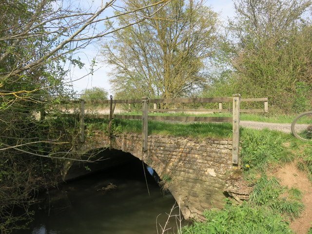
Bridge, Primary, Road Bridge 51.69344, -1.58864 1.22 kms (W) Grafton and Radcot West Oxfordshire Oxfordshire South East England United Kingdom
-
Administrative, Civil Parish, Village 51.67285, -1.54928 2.56 kms (SE) Vale of White Horse Oxfordshire South East England United Kingdom
-
Administrative, Civil Parish, Village 51.71629, -1.58881 3.02 kms (NNW) West Oxfordshire Oxfordshire South East England United Kingdom
-
Market Town, Town 51.65826, -1.58371 3.78 kms (SSW) Vale of White Horse Oxfordshire South East England United Kingdom
-
Administrative, Civil Parish, Village 51.72466, -1.54736 4.05 kms (NNE) Bampton West Oxfordshire Oxfordshire South East England United Kingdom
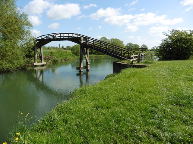
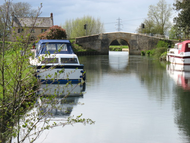
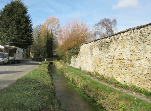
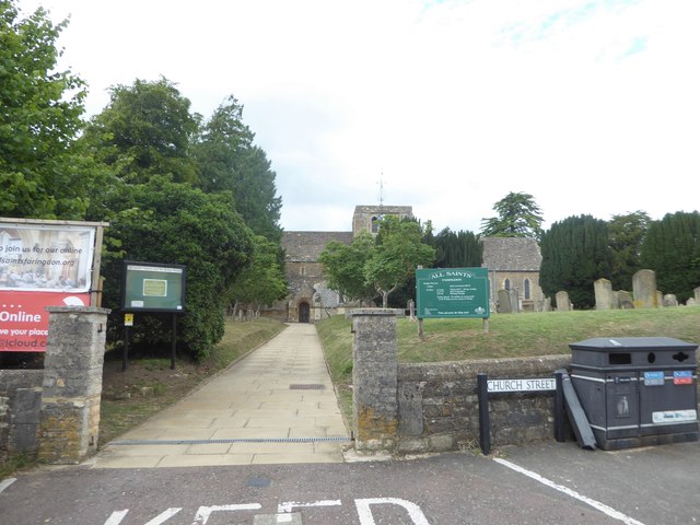
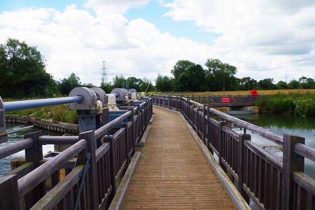
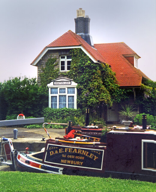
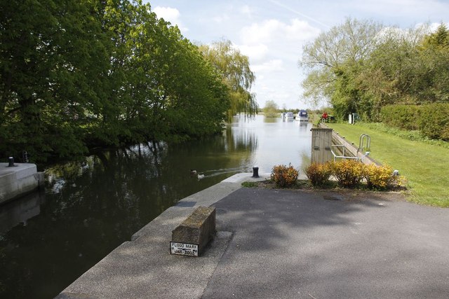
51.6914,-1.5713 28/05/2020 Des Blenkinsopp CC BY-SA 2.0 0 kms (N)
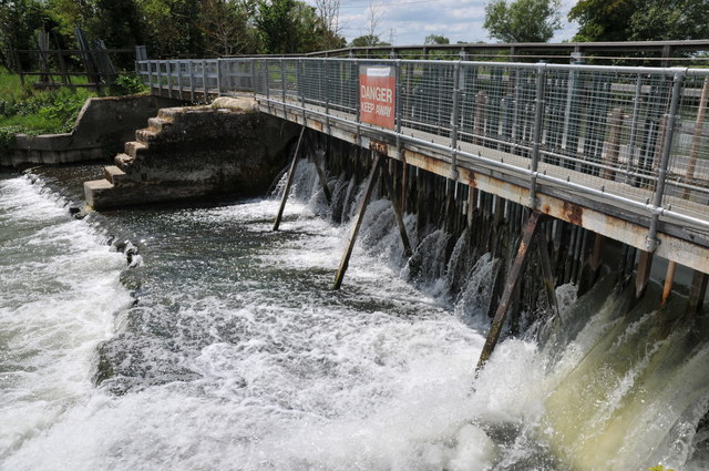
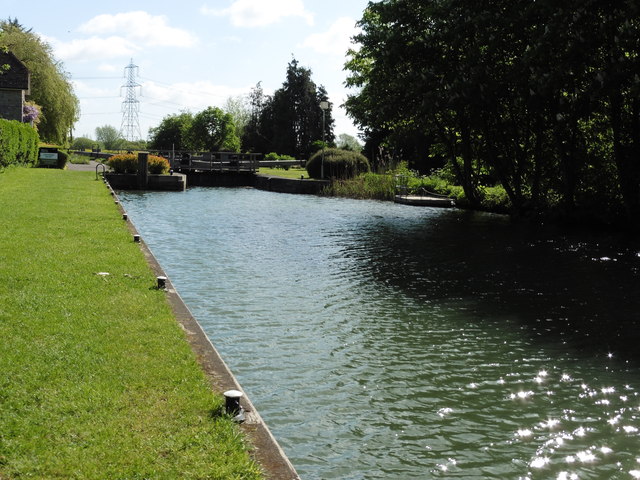
51.69212,-1.57202 05/09/2012 Shaun Ferguson CC BY-SA 2.0 0.09 kms (NNW)
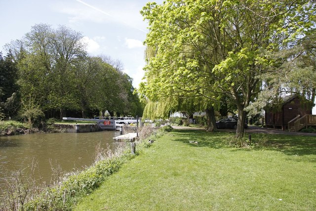
51.68978,-1.56958 01/07/2019 Vieve Forward CC BY-SA 2.0 0.22 kms (SE)
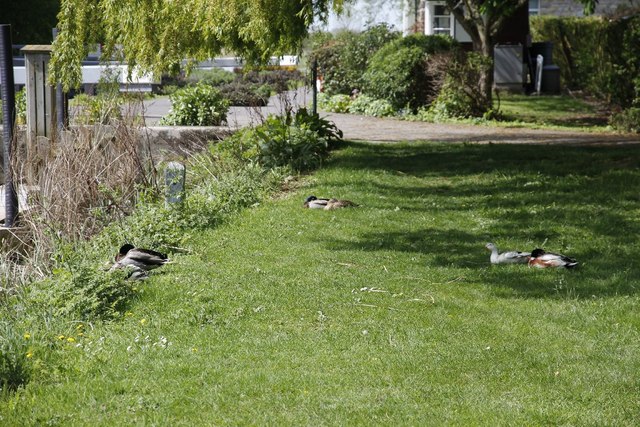
51.68978,-1.56929 10/01/2007 Jonathan Billinger CC BY-SA 2.0 0.23 kms (SE)
51.69004,-1.56799 28/05/2020 Des Blenkinsopp CC BY-SA 2.0 0.27 kms (ESE)
51.69651,-1.56807 17/09/2016 Gareth James CC BY-SA 2.0 0.61 kms (NNE)
51.69959,-1.5718 21/05/2011 Philip Halling CC BY-SA 2.0 0.91 kms (N)
51.69959,-1.57209 10/05/2018 Dave Kelly CC BY-SA 2.0 0.91 kms (N)
51.69968,-1.57209 17/09/2016 Gareth James CC BY-SA 2.0 0.92 kms (N)
51.69977,-1.57281 01/01/1970 Des Blenkinsopp CC BY-SA 2.0 0.94 kms (N)
51.69977,-1.57325 05/09/2012 Shaun Ferguson CC BY-SA 2.0 0.94 kms (N)
51.69948,-1.56833 17/09/2016 Gareth James CC BY-SA 2.0 0.92 kms (NNE)
51.69957,-1.56847 10/05/2018 Dave Kelly CC BY-SA 2.0 0.93 kms (NNE)
51.69986,-1.57339 21/05/2011 Philip Halling CC BY-SA 2.0 0.95 kms (N)
51.69966,-1.56818 25/04/2016 David Purchase CC BY-SA 2.0 0.94 kms (NNE)
51.69857,-1.56588 17/09/2016 Gareth James CC BY-SA 2.0 0.88 kms (NNE)
51.70031,-1.57281 21/05/2011 Philip Halling CC BY-SA 2.0 1 kms (N)
51.70002,-1.56717 07/08/2020 Vieve Forward CC BY-SA 2.0 1 kms (NNE)
51.69772,-1.57862 21/05/2011 Philip Halling CC BY-SA 2.0 0.87 kms (NW)
51.6962,-1.57994 25/04/2016 David Purchase CC BY-SA 2.0 0.8 kms (NW)
51.69575,-1.58023 17/09/2016 Gareth James CC BY-SA 2.0 0.78 kms (NW)
51.69647,-1.57993 28/10/2009 Chris Gunns CC BY-SA 2.0 0.82 kms (NW)
51.69737,-1.57949 28/10/2009 Chris Gunns CC BY-SA 2.0 0.87 kms (NW)
51.6962,-1.58051 07/08/2020 Vieve Forward CC BY-SA 2.0 0.83 kms (NW)
51.69883,-1.56298 29/01/2011 Bill Nicholls CC BY-SA 2.0 1.01 kms (NE)
51.69531,-1.58182 29/05/2005 Nigel James CC BY-SA 2.0 0.85 kms (WNW)
51.69856,-1.56226 29/01/2011 Bill Nicholls CC BY-SA 2.0 1.01 kms (NE)
51.69882,-1.55994 29/01/2011 Bill Nicholls CC BY-SA 2.0 1.14 kms (NE)
51.69945,-1.56023 05/09/2012 Shaun Ferguson CC BY-SA 2.0 1.18 kms (NE)
51.69388,-1.58502 17/09/2016 Gareth James CC BY-SA 2.0 0.98 kms (WNW)
51.70303,-1.57973 07/08/2020 Vieve Forward CC BY-SA 2.0 1.42 kms (NNW)
51.69379,-1.58589 10/05/2018 Dave Kelly CC BY-SA 2.0 1.04 kms (WNW)
51.70351,-1.56279 05/05/2016 Des Blenkinsopp CC BY-SA 2.0 1.47 kms (NNE)
51.69854,-1.55763 29/01/2011 Bill Nicholls CC BY-SA 2.0 1.23 kms (NE)
51.69791,-1.5572 21/05/2011 Philip Halling CC BY-SA 2.0 1.21 kms (NE)
51.69881,-1.55719 29/01/2011 Bill Nicholls CC BY-SA 2.0 1.27 kms (NE)
51.69863,-1.55705 21/05/2011 Philip Halling CC BY-SA 2.0 1.27 kms (NE)
51.69434,-1.58704 22/02/2016 Des Blenkinsopp CC BY-SA 2.0 1.13 kms (WNW)
51.70603,-1.56465 05/05/2016 Des Blenkinsopp CC BY-SA 2.0 1.69 kms (NNE)
51.69425,-1.58748 22/02/2016 Des Blenkinsopp CC BY-SA 2.0 1.16 kms (WNW)
51.6938,-1.58777 17/09/2016 Gareth James CC BY-SA 2.0 1.17 kms (WNW)
51.69371,-1.58792 28/03/2012 Alex Passmore CC BY-SA 2.0 1.17 kms (WNW)
51.6938,-1.58791 28/03/2012 Alex Passmore CC BY-SA 2.0 1.18 kms (WNW)
51.69281,-1.58821 17/09/2016 Gareth James CC BY-SA 2.0 1.18 kms (W)
51.69371,-1.58835 31/05/2014 Roger Davies CC BY-SA 2.0 1.2 kms (WNW)
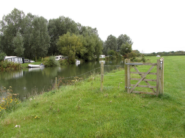
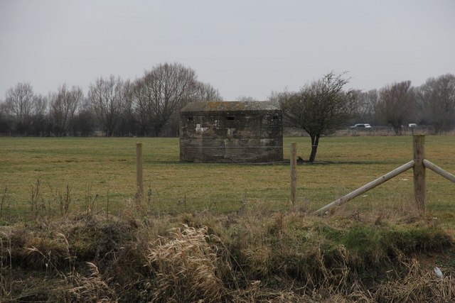
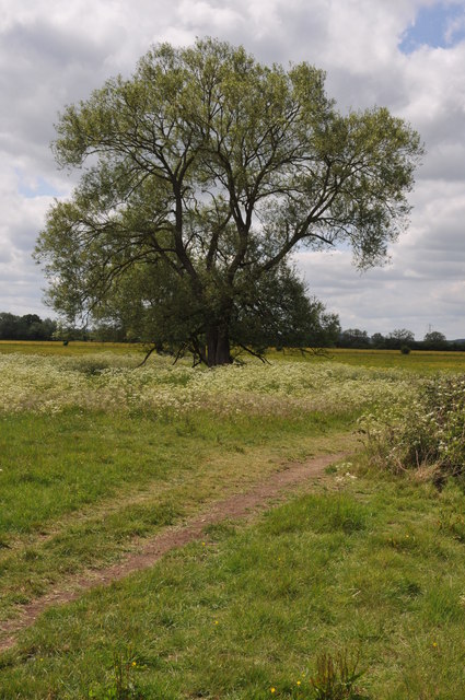
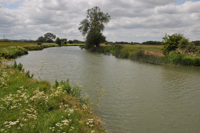
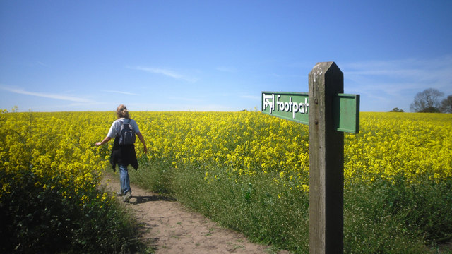
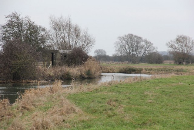
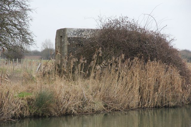
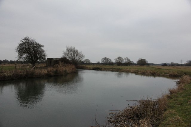
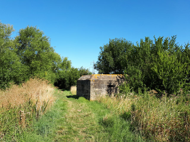
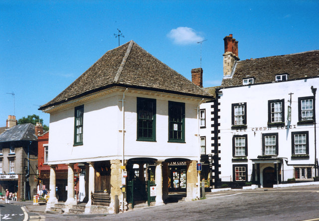
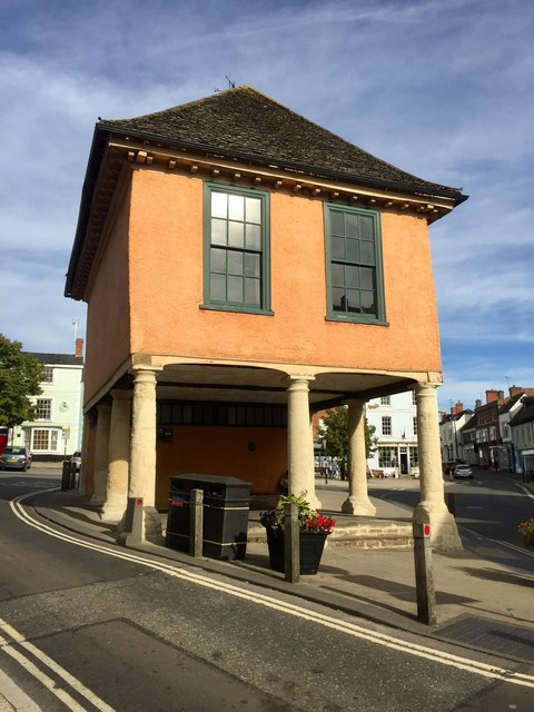
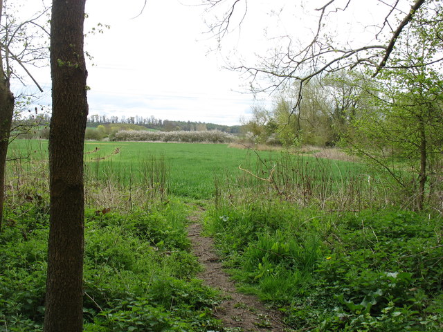
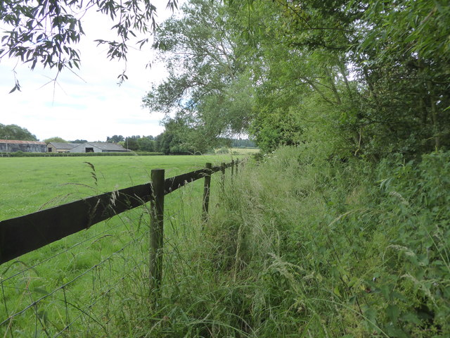
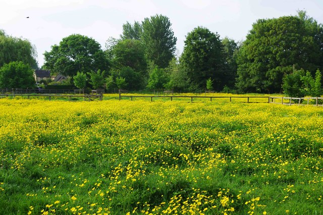
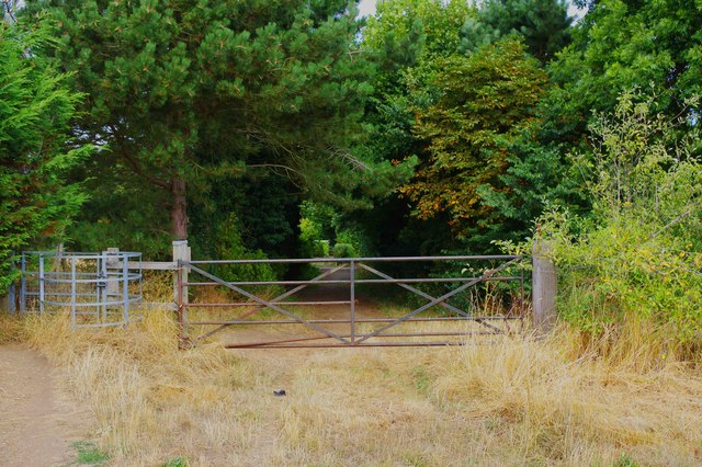
51.69344,-1.58864 17/09/2016 Gareth James CC BY-SA 2.0 1.22 kms (W)
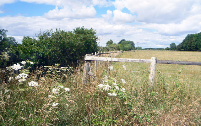
51.69327,-1.58877 01/12/2006 Alan Rosevear CC BY-SA 2.0 1.22 kms (W)
51.69344,-1.58879 04/10/1987 Colin Park CC BY-SA 2.0 1.23 kms (W)
51.69344,-1.58879 25/04/2016 David Purchase CC BY-SA 2.0 1.23 kms (W)
51.69542,-1.58848 22/02/2016 Des Blenkinsopp CC BY-SA 2.0 1.27 kms (WNW)
51.69344,-1.58922 10/05/2018 Dave Kelly CC BY-SA 2.0 1.26 kms (W)
51.69925,-1.55357 25/04/2016 David Purchase CC BY-SA 2.0 1.5 kms (NE)
51.70096,-1.55385 28/10/2009 Chris Gunns CC BY-SA 2.0 1.6 kms (NE)
51.70303,-1.55411 05/05/2016 Des Blenkinsopp CC BY-SA 2.0 1.75 kms (NE)
51.70113,-1.5524 29/01/2011 Bill Nicholls CC BY-SA 2.0 1.69 kms (NE)
51.70158,-1.55239 29/01/2011 Bill Nicholls CC BY-SA 2.0 1.73 kms (NE)
51.70176,-1.55239 29/01/2011 Bill Nicholls CC BY-SA 2.0 1.74 kms (NE)
51.67874,-1.55276 01/07/2019 Vieve Forward CC BY-SA 2.0 1.9 kms (SE)
51.70095,-1.55095 21/05/2011 Philip Halling CC BY-SA 2.0 1.76 kms (NE)
51.70067,-1.55052 25/04/2016 David Purchase CC BY-SA 2.0 1.76 kms (NE)
51.70031,-1.55023 21/05/2011 Philip Halling CC BY-SA 2.0 1.76 kms (NE)
51.70328,-1.55049 05/05/2016 Des Blenkinsopp CC BY-SA 2.0 1.95 kms (NE)
51.67488,-1.55309 28/05/2020 Des Blenkinsopp CC BY-SA 2.0 2.23 kms (SE)
51.70121,-1.5482 10/05/2018 Dave Kelly CC BY-SA 2.0 1.93 kms (NE)
51.70157,-1.5482 21/05/2011 Philip Halling CC BY-SA 2.0 1.95 kms (NE)
51.70372,-1.54803 05/05/2016 Des Blenkinsopp CC BY-SA 2.0 2.11 kms (NE)
51.67469,-1.55063 19/10/2010 Roger Templeman CC BY-SA 2.0 2.34 kms (SE)
51.70237,-1.54631 29/01/2011 Bill Nicholls CC BY-SA 2.0 2.11 kms (NE)
51.67182,-1.55182 02/05/2011 Des Blenkinsopp CC BY-SA 2.0 2.56 kms (SSE)
51.67253,-1.54935 28/01/2010 Sarah Charlesworth CC BY-SA 2.0 2.59 kms (SE)
51.6762,-1.54657 03/04/2011 Andrew Smith CC BY-SA 2.0 2.4 kms (SE)
51.67226,-1.54936 19/10/2010 Roger Templeman CC BY-SA 2.0 2.61 kms (SE)
51.67217,-1.54921 28/05/2020 Des Blenkinsopp CC BY-SA 2.0 2.63 kms (SE)
51.71708,-1.58553 09/06/2020 Steve Daniels CC BY-SA 2.0 3.02 kms (NNW)
51.6719,-1.54936 05/08/2020 Basher Eyre CC BY-SA 2.0 2.64 kms (SE)
51.67208,-1.54863 28/05/2020 Des Blenkinsopp CC BY-SA 2.0 2.66 kms (SE)
51.70236,-1.54356 29/01/2011 Bill Nicholls CC BY-SA 2.0 2.27 kms (ENE)
51.70236,-1.54341 29/01/2011 Bill Nicholls CC BY-SA 2.0 2.28 kms (ENE)
51.70236,-1.54327 29/01/2011 Bill Nicholls CC BY-SA 2.0 2.28 kms (ENE)
51.68998,-1.6014 07/08/2020 Vieve Forward CC BY-SA 2.0 2.08 kms (W)

51.68989,-1.6014 06/05/2012 Bill Nicholls CC BY-SA 2.0 2.08 kms (W)
51.71642,-1.58832 01/01/1970 Alan Rosevear CC BY-SA 2.0 3.02 kms (NNW)
51.68989,-1.60155 06/05/2012 Bill Nicholls CC BY-SA 2.0 2.09 kms (W)
51.71646,-1.58887 20/04/2011 Nick Smith CC BY-SA 2.0 3.04 kms (NNW)
51.71628,-1.58916 20/04/2011 Nick Smith CC BY-SA 2.0 3.03 kms (NNW)
51.69043,-1.60198 06/05/2012 Bill Nicholls CC BY-SA 2.0 2.12 kms (W)
51.71655,-1.5893 20/04/2011 Nick Smith CC BY-SA 2.0 3.06 kms (NNW)
51.70208,-1.54226 05/09/2012 Shaun Ferguson CC BY-SA 2.0 2.33 kms (ENE)
51.71655,-1.58945 09/08/2020 Vieve Forward CC BY-SA 2.0 3.06 kms (NNW)
51.71718,-1.58929 22/02/2016 Des Blenkinsopp CC BY-SA 2.0 3.12 kms (NNW)
51.67538,-1.54412 02/05/2011 Des Blenkinsopp CC BY-SA 2.0 2.59 kms (SE)
51.71587,-1.55095 09/08/2020 Vieve Forward CC BY-SA 2.0 3.06 kms (NNE)
51.71674,-1.59089 22/02/2016 Des Blenkinsopp CC BY-SA 2.0 3.12 kms (NNW)
51.66178,-1.58372 06/09/2019 Vieve Forward CC BY-SA 2.0 3.4 kms (SSW)
51.6735,-1.54443 01/07/2019 Vieve Forward CC BY-SA 2.0 2.72 kms (SE)
51.71737,-1.59103 31/05/2014 Roger Davies CC BY-SA 2.0 3.19 kms (NNW)
51.71737,-1.59117 01/11/2017 Richard Rogerson CC BY-SA 2.0 3.2 kms (NNW)
51.71737,-1.59132 01/11/2017 Richard Rogerson CC BY-SA 2.0 3.2 kms (NNW)
51.71701,-1.59248 22/02/2016 Des Blenkinsopp CC BY-SA 2.0 3.2 kms (NNW)
51.71603,-1.59466 23/11/2017 M J Richardson CC BY-SA 2.0 3.18 kms (NNW)
51.69224,-1.60529 06/05/2012 Bill Nicholls CC BY-SA 2.0 2.34 kms (W)
51.65971,-1.58389 05/08/2020 Basher Eyre CC BY-SA 2.0 3.63 kms (SSW)
51.65962,-1.58374 05/08/2020 Basher Eyre CC BY-SA 2.0 3.64 kms (SSW)

51.65917,-1.58317 05/08/2020 Basher Eyre CC BY-SA 2.0 3.68 kms (SSW)
51.65926,-1.58346 05/08/2020 Basher Eyre CC BY-SA 2.0 3.67 kms (SSW)
51.65926,-1.58375 05/08/2020 Basher Eyre CC BY-SA 2.0 3.68 kms (SSW)
51.65881,-1.58375 14/09/2019 Alan Hughes CC BY-SA 2.0 3.72 kms (SSW)
51.65854,-1.58346 09/10/2021 Des Blenkinsopp CC BY-SA 2.0 3.75 kms (SSW)
51.65854,-1.58361 05/08/2020 Basher Eyre CC BY-SA 2.0 3.75 kms (SSW)
51.65845,-1.58375 09/10/2021 Des Blenkinsopp CC BY-SA 2.0 3.76 kms (SSW)
51.71953,-1.59275 16/03/2015 Jonathan Billinger CC BY-SA 2.0 3.46 kms (NNW)
51.67115,-1.54228 05/10/2014 Steve Daniels CC BY-SA 2.0 3.01 kms (SE)
51.65836,-1.58404 14/09/2019 Alan Hughes CC BY-SA 2.0 3.78 kms (SSW)
51.65818,-1.5839 15/04/1995 Colin Park CC BY-SA 2.0 3.79 kms (SSW)
51.65818,-1.5839 01/01/1970 Des Blenkinsopp CC BY-SA 2.0 3.79 kms (SSW)
51.65827,-1.58419 14/09/2019 Alan Hughes CC BY-SA 2.0 3.79 kms (SSW)
51.71971,-1.59347 16/03/2015 Jonathan Billinger CC BY-SA 2.0 3.5 kms (NNW)
51.67186,-1.54068 01/01/1970 Milestone Society CC BY-SA 2.0 3.03 kms (SE)
51.69801,-1.53478 10/05/2018 Dave Kelly CC BY-SA 2.0 2.62 kms (ENE)
51.69801,-1.53463 07/05/2018 P L Chadwick CC BY-SA 2.0 2.63 kms (ENE)
51.72225,-1.55031 28/05/2018 P L Chadwick CC BY-SA 2.0 3.72 kms (NNE)
51.69792,-1.53449 03/07/2016 P L Chadwick CC BY-SA 2.0 2.64 kms (ENE)
51.67267,-1.53894 01/07/2019 Vieve Forward CC BY-SA 2.0 3.05 kms (SE)
51.698,-1.53449 03/07/2016 P L Chadwick CC BY-SA 2.0 2.64 kms (ENE)
51.69513,-1.53408 01/04/2007 Andrew Smith CC BY-SA 2.0 2.6 kms (E)
51.69809,-1.53449 01/07/2019 Vieve Forward CC BY-SA 2.0 2.64 kms (ENE)
51.69809,-1.53449 03/07/2016 P L Chadwick CC BY-SA 2.0 2.64 kms (ENE)
51.69836,-1.53448 21/05/2011 Philip Halling CC BY-SA 2.0 2.65 kms (ENE)
51.69117,-1.60877 06/05/2012 Bill Nicholls CC BY-SA 2.0 2.58 kms (W)
51.69117,-1.60877 06/05/2012 Bill Nicholls CC BY-SA 2.0 2.58 kms (W)
51.72234,-1.54987 28/05/2018 P L Chadwick CC BY-SA 2.0 3.74 kms (NNE)
51.69854,-1.53434 25/04/2016 David Purchase CC BY-SA 2.0 2.67 kms (ENE)
51.69863,-1.53433 03/07/2016 P L Chadwick CC BY-SA 2.0 2.67 kms (ENE)
51.72397,-1.55217 09/06/2020 Steve Daniels CC BY-SA 2.0 3.85 kms (NNE)
51.69117,-1.60906 01/01/1970 Des Blenkinsopp CC BY-SA 2.0 2.6 kms (W)
51.69099,-1.60906 06/05/2012 Bill Nicholls CC BY-SA 2.0 2.6 kms (W)
51.69117,-1.6092 06/05/2012 Bill Nicholls CC BY-SA 2.0 2.61 kms (W)
51.69099,-1.60921 06/05/2012 Bill Nicholls CC BY-SA 2.0 2.61 kms (W)
51.69611,-1.53364 25/04/2016 David Purchase CC BY-SA 2.0 2.65 kms (ENE)
51.69117,-1.60935 06/05/2012 Bill Nicholls CC BY-SA 2.0 2.62 kms (W)
51.69108,-1.60935 10/05/2018 Dave Kelly CC BY-SA 2.0 2.62 kms (W)
51.72243,-1.549 28/05/2018 P L Chadwick CC BY-SA 2.0 3.78 kms (NNE)
51.69854,-1.53376 03/07/2016 P L Chadwick CC BY-SA 2.0 2.71 kms (ENE)
51.72396,-1.55101 28/05/2018 P L Chadwick CC BY-SA 2.0 3.88 kms (NNE)
51.72396,-1.55101 28/05/2018 P L Chadwick CC BY-SA 2.0 3.88 kms (NNE)
51.69055,-1.60979 06/05/2012 Bill Nicholls CC BY-SA 2.0 2.65 kms (W)
51.69251,-1.53237 01/07/2019 Vieve Forward CC BY-SA 2.0 2.69 kms (E)
51.70565,-1.53499 05/05/2016 Des Blenkinsopp CC BY-SA 2.0 2.96 kms (ENE)
51.65567,-1.58768 10/09/2019 David Howard CC BY-SA 2.0 4.13 kms (SSW)
51.69692,-1.53218 21/05/2011 Philip Halling CC BY-SA 2.0 2.76 kms (ENE)
51.72332,-1.54783 28/05/2018 P L Chadwick CC BY-SA 2.0 3.9 kms (NNE)
51.69026,-1.53167 10/07/2020 Des Blenkinsopp CC BY-SA 2.0 2.73 kms (E)
51.69017,-1.53153 05/09/2012 Shaun Ferguson CC BY-SA 2.0 2.74 kms (E)
51.72305,-1.5461 11/08/2018 P L Chadwick CC BY-SA 2.0 3.92 kms (NNE)
51.72286,-1.54581 11/08/2018 P L Chadwick CC BY-SA 2.0 3.91 kms (NNE)
51.72304,-1.54552 11/08/2018 P L Chadwick CC BY-SA 2.0 3.94 kms (NNE)
51.72313,-1.54451 11/08/2018 P L Chadwick CC BY-SA 2.0 3.98 kms (NNE)
51.70366,-1.53153 05/05/2016 Des Blenkinsopp CC BY-SA 2.0 3.06 kms (ENE)
51.72409,-1.53842 28/05/2018 P L Chadwick CC BY-SA 2.0 4.28 kms (NNE)
51.72418,-1.53842 28/05/2018 P L Chadwick CC BY-SA 2.0 4.29 kms (NNE)