Donnington Bridge, Donnington Bridge Road, Iffley, Oxford, Oxfordshire, South East England, England, OX4 4AZ, United Kingdom
-
Eyot 51.74168, -1.2452 0.71 kms (NNW)
-
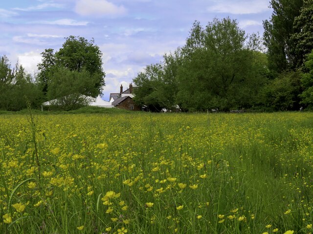
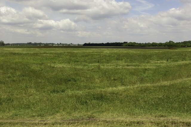
Meadow, Nature Reserve 51.72881, -1.24328 0.76 kms (S) South Oxford Oxford Oxfordshire South East England United Kingdom
-
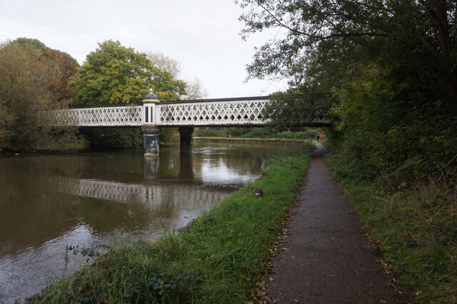
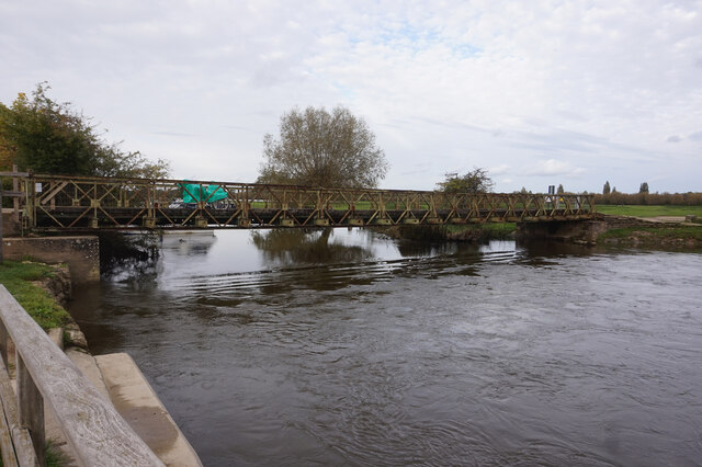
Bridge, Road Bridge 51.72472, -1.24094 1.21 kms (S) Vale of White Horse Oxfordshire South East England United Kingdom
-
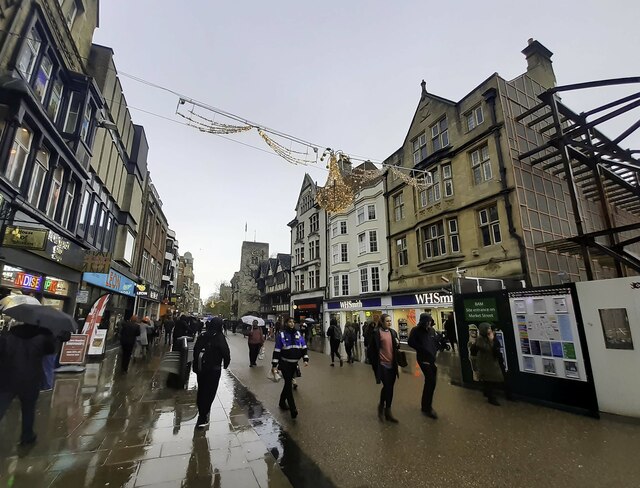
Attraction, Meadow 51.74658, -1.25192 1.39 kms (NNW) City Centre Oxford Oxfordshire South East England United Kingdom
-
Bridge, Folly, Primary, Road Bridge 51.74588, -1.2563 1.5 kms (NW) South Oxford Oxford Oxfordshire South East England United Kingdom
-
Administrative, Civil Parish, Village 51.71787, -1.24889 2.03 kms (SSW) Vale of White Horse Oxfordshire South East England United Kingdom
-
Island, University 51.75658, -1.24457 2.34 kms (N) City Centre Oxford Oxfordshire South East England United Kingdom
-
Bridge, Cycleway, Foot Bridge 51.74682, -1.26066 1.79 kms (NW) City Centre Oxford Oxfordshire South East England United Kingdom
-
Administrative, Civil Parish, District 51.72152, -1.22449 1.98 kms (SE) Littlemore Oxford Oxfordshire South East England United Kingdom
-
Administrative, City 51.75201, -1.25785 2.12 kms (NNW) Oxford Oxfordshire South East England United Kingdom
-
Park 51.74548, -1.26362 1.85 kms (NW) South Oxford Oxford Oxfordshire South East England United Kingdom
-
Bridge, Railway Bridge 51.7471, -1.26704 2.14 kms (NW) South Oxford Oxford Oxfordshire South East England United Kingdom
-
Administrative, Civil Parish, Village 51.73189, -1.27064 2.01 kms (WSW) South Hinksey Vale of White Horse Oxfordshire South East England United Kingdom
-
Bridge, Road Bridge 51.75254, -1.27263 2.82 kms (NW) City Centre Oxford Oxfordshire South East England United Kingdom
-
Administrative, Civil Parish, Village 51.71372, -1.21126 3.23 kms (SE) Sandford-on-Thames South Oxfordshire Oxfordshire South East England United Kingdom
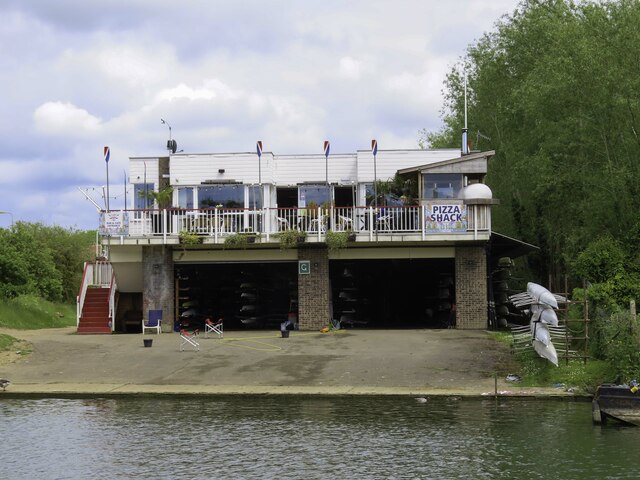
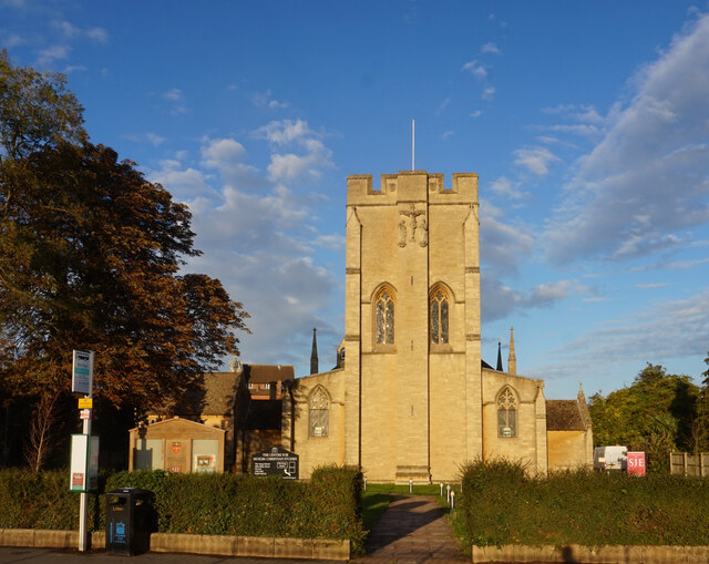
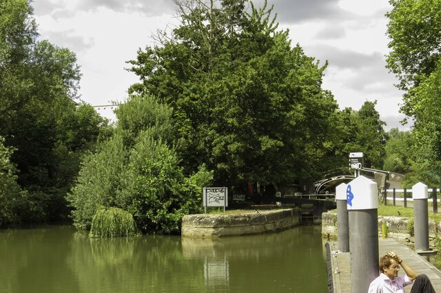
51.73541,-1.24158 06/06/2021 Steve Daniels CC BY-SA 2.0 0.04 kms (SE)
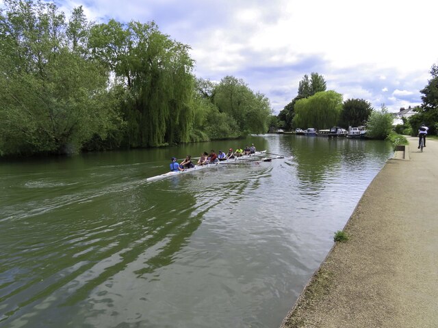
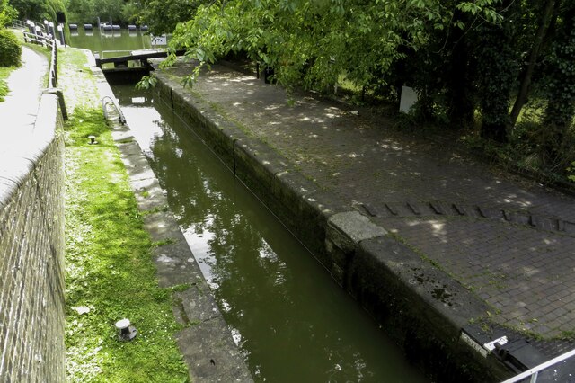
51.73208,-1.24121 06/06/2021 Steve Daniels CC BY-SA 2.0 0.4 kms (S)
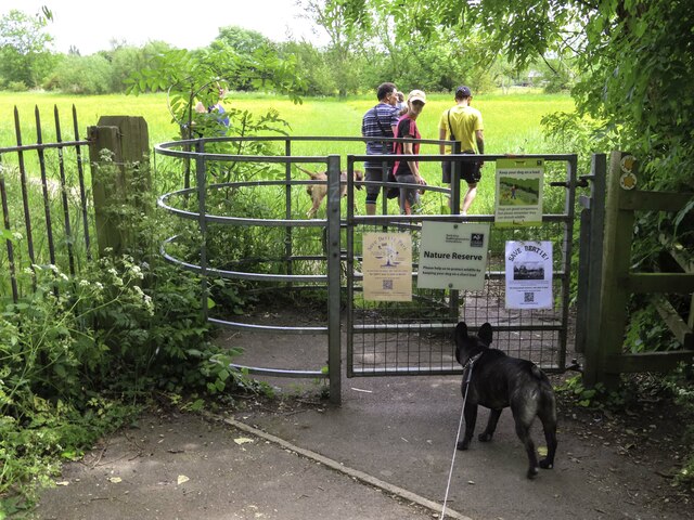
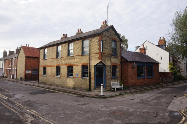
51.73409,-1.24537 06/06/2021 Steve Daniels CC BY-SA 2.0 0.28 kms (SW)
51.73409,-1.24537 06/06/2021 Steve Daniels CC BY-SA 2.0 0.28 kms (SW)
51.73436,-1.24566 06/06/2021 Steve Daniels CC BY-SA 2.0 0.28 kms (WSW)
51.73427,-1.24566 06/06/2021 Steve Daniels CC BY-SA 2.0 0.29 kms (WSW)
51.73427,-1.24566 06/06/2021 Steve Daniels CC BY-SA 2.0 0.29 kms (WSW)
51.73427,-1.24595 06/06/2021 Steve Daniels CC BY-SA 2.0 0.31 kms (WSW)
51.73136,-1.24122 04/04/2021 Steve Daniels CC BY-SA 2.0 0.48 kms (S)
51.73445,-1.24638 06/06/2021 Steve Daniels CC BY-SA 2.0 0.32 kms (WSW)
51.73074,-1.24152 04/04/2021 Steve Daniels CC BY-SA 2.0 0.54 kms (S)
51.7293,-1.2414 04/04/2021 Steve Daniels CC BY-SA 2.0 0.7 kms (S)
51.72912,-1.24126 06/06/2021 Steve Daniels CC BY-SA 2.0 0.73 kms (S)
51.72911,-1.24024 04/04/2021 Steve Daniels CC BY-SA 2.0 0.73 kms (S)
51.72902,-1.23981 04/04/2021 Steve Daniels CC BY-SA 2.0 0.75 kms (SSE)
51.72884,-1.2401 04/04/2021 Steve Daniels CC BY-SA 2.0 0.77 kms (S)
51.73312,-1.24886 06/06/2021 Steve Daniels CC BY-SA 2.0 0.54 kms (WSW)
51.72822,-1.24127 06/06/2021 Steve Daniels CC BY-SA 2.0 0.83 kms (S)
51.72821,-1.24011 04/04/2021 Steve Daniels CC BY-SA 2.0 0.84 kms (S)
51.73394,-1.25015 18/07/2021 Robin Webster CC BY-SA 2.0 0.59 kms (WSW)
51.73304,-1.25046 21/11/2017 Steve Daniels CC BY-SA 2.0 0.65 kms (WSW)
51.72687,-1.241 04/04/2021 Steve Daniels CC BY-SA 2.0 0.98 kms (S)
51.73295,-1.25089 21/11/2017 Steve Daniels CC BY-SA 2.0 0.68 kms (WSW)
51.72717,-1.2465 18/07/2021 Robin Webster CC BY-SA 2.0 0.99 kms (SSW)
51.73341,-1.25146 21/11/2017 Steve Daniels CC BY-SA 2.0 0.69 kms (WSW)
51.72588,-1.24131 04/04/2021 Steve Daniels CC BY-SA 2.0 1.08 kms (S)
51.74302,-1.24942 01/06/2005 Des Blenkinsopp CC BY-SA 2.0 0.97 kms (NNW)
51.73404,-1.25261 21/11/2017 Steve Daniels CC BY-SA 2.0 0.75 kms (WSW)
51.74546,-1.23751 09/10/2020 Ian S CC BY-SA 2.0 1.14 kms (NNE)
51.74546,-1.23751 09/10/2020 Ian S CC BY-SA 2.0 1.14 kms (NNE)
51.74647,-1.24125 09/10/2020 Ian S CC BY-SA 2.0 1.21 kms (N)
51.74042,-1.25193 09/09/2018 Stuart Taylor CC BY-SA 2.0 0.86 kms (NW)
51.74655,-1.24024 09/10/2020 Ian S CC BY-SA 2.0 1.22 kms (N)
51.74646,-1.23908 09/10/2020 Ian S CC BY-SA 2.0 1.22 kms (N)
51.74636,-1.23807 09/10/2020 Ian S CC BY-SA 2.0 1.22 kms (NNE)

51.74654,-1.23821 09/10/2020 Ian S CC BY-SA 2.0 1.24 kms (NNE)
51.73917,-1.25325 09/09/2018 Stuart Taylor CC BY-SA 2.0 0.87 kms (WNW)
51.74828,-1.24238 09/10/2020 Ian S CC BY-SA 2.0 1.41 kms (N)
51.74836,-1.24238 09/10/2020 Ian S CC BY-SA 2.0 1.42 kms (N)
51.74837,-1.24253 09/10/2020 Ian S CC BY-SA 2.0 1.42 kms (N)
51.74837,-1.24253 09/10/2020 Ian S CC BY-SA 2.0 1.42 kms (N)
51.73748,-1.25589 21/11/2017 Steve Daniels CC BY-SA 2.0 0.97 kms (WNW)
51.74981,-1.24395 09/10/2020 Ian S CC BY-SA 2.0 1.58 kms (N)
51.73785,-1.2566 21/11/2017 Steve Daniels CC BY-SA 2.0 1.03 kms (WNW)
51.73776,-1.2569 21/11/2017 Steve Daniels CC BY-SA 2.0 1.05 kms (WNW)
51.73812,-1.25718 06/07/2019 Vieve Forward CC BY-SA 2.0 1.08 kms (WNW)
51.73812,-1.25718 21/11/2017 Steve Daniels CC BY-SA 2.0 1.08 kms (WNW)
51.75046,-1.24698 08/09/2020 Andrew Abbott CC BY-SA 2.0 1.68 kms (NNW)
51.75073,-1.24654 09/10/2020 Ian S CC BY-SA 2.0 1.71 kms (N)
51.75038,-1.24771 08/09/2020 Andrew Abbott CC BY-SA 2.0 1.69 kms (NNW)
51.75091,-1.24654 08/09/2020 Andrew Abbott CC BY-SA 2.0 1.73 kms (N)
51.75118,-1.24625 09/10/2020 Ian S CC BY-SA 2.0 1.75 kms (N)
51.73777,-1.25805 21/11/2017 Steve Daniels CC BY-SA 2.0 1.13 kms (WNW)
51.75127,-1.2474 08/09/2020 Andrew Abbott CC BY-SA 2.0 1.78 kms (NNW)

51.72098,-1.23401 07/05/2011 Steve Daniels CC BY-SA 2.0 1.72 kms (SSE)
51.7519,-1.24681 09/10/2020 Ian S CC BY-SA 2.0 1.84 kms (N)
51.7519,-1.24725 09/10/2020 Ian S CC BY-SA 2.0 1.85 kms (NNW)
51.72218,-1.25295 27/08/2015 Des Blenkinsopp CC BY-SA 2.0 1.67 kms (SSW)
51.74576,-1.25633 18/07/2021 Robin Webster CC BY-SA 2.0 1.5 kms (NW)
51.74656,-1.25603 09/12/2017 Wayland Smith CC BY-SA 2.0 1.55 kms (NW)
51.72132,-1.23154 10/08/2019 David Howard CC BY-SA 2.0 1.75 kms (SSE)
51.74665,-1.25603 27/11/2019 Steve Daniels CC BY-SA 2.0 1.56 kms (NW)
51.75319,-1.23795 01/01/1970 AJD CC BY-SA 2.0 1.97 kms (N)
51.72074,-1.25283 20/04/2021 Steve Daniels CC BY-SA 2.0 1.81 kms (SSW)
51.72264,-1.25512 18/01/2020 Dave Thompson CC BY-SA 2.0 1.7 kms (SSW)
51.71974,-1.25198 20/04/2021 Steve Daniels CC BY-SA 2.0 1.89 kms (SSW)
51.74738,-1.25688 12/08/2021 David Hillas CC BY-SA 2.0 1.66 kms (NW)
51.74738,-1.25688 12/08/2021 David Hillas CC BY-SA 2.0 1.66 kms (NW)
51.75474,-1.24083 20/07/2021 Nekisa Gholami-Babaahmady CC BY-SA 2.0 2.13 kms (N)
51.74487,-1.25895 24/04/2010 Wayland Smith CC BY-SA 2.0 1.55 kms (NW)
51.7205,-1.22909 07/05/2011 Steve Daniels CC BY-SA 2.0 1.9 kms (SSE)
51.75034,-1.25597 01/01/1970 M J Richardson CC BY-SA 2.0 1.9 kms (NNW)
51.75584,-1.24428 10/07/2020 Stephen McKay CC BY-SA 2.0 2.25 kms (N)
51.71768,-1.25187 06/09/2019 Steve Daniels CC BY-SA 2.0 2.11 kms (SSW)
51.71877,-1.25446 29/06/2014 Lewis Clarke CC BY-SA 2.0 2.06 kms (SSW)
51.75648,-1.24529 10/07/2020 Stephen McKay CC BY-SA 2.0 2.33 kms (N)
51.7524,-1.25492 10/07/2011 Wayland Smith CC BY-SA 2.0 2.07 kms (NNW)
51.71832,-1.25446 28/12/2017 Robin Webster CC BY-SA 2.0 2.1 kms (SSW)
51.73186,-1.26307 31/07/2021 Basher Eyre CC BY-SA 2.0 1.51 kms (WSW)
51.75622,-1.24805 10/07/2020 Stephen McKay CC BY-SA 2.0 2.33 kms (N)
51.75684,-1.24644 10/07/2020 Stephen McKay CC BY-SA 2.0 2.38 kms (N)
51.73159,-1.26337 31/07/2021 Basher Eyre CC BY-SA 2.0 1.53 kms (WSW)
51.73159,-1.26337 31/07/2021 Basher Eyre CC BY-SA 2.0 1.53 kms (WSW)
51.73204,-1.26348 24/04/2010 Wayland Smith CC BY-SA 2.0 1.53 kms (WSW)
51.7176,-1.25419 18/02/2019 David Howard CC BY-SA 2.0 2.17 kms (SSW)
51.74686,-1.26066 09/12/2020 Roy Hughes CC BY-SA 2.0 1.79 kms (NW)
51.73214,-1.26365 31/07/2021 Basher Eyre CC BY-SA 2.0 1.54 kms (WSW)
51.73214,-1.26365 31/07/2021 Basher Eyre CC BY-SA 2.0 1.54 kms (WSW)
51.74928,-1.25917 19/10/2021 Pierre Marshall CC BY-SA 2.0 1.92 kms (NW)
51.73196,-1.26365 31/07/2021 Basher Eyre CC BY-SA 2.0 1.54 kms (WSW)
51.73214,-1.26379 31/07/2021 Basher Eyre CC BY-SA 2.0 1.55 kms (WSW)
51.73214,-1.26379 31/07/2021 Basher Eyre CC BY-SA 2.0 1.55 kms (WSW)
51.73214,-1.26379 31/07/2021 Basher Eyre CC BY-SA 2.0 1.55 kms (WSW)
51.73214,-1.26379 31/07/2021 Basher Eyre CC BY-SA 2.0 1.55 kms (WSW)
51.73214,-1.26379 31/07/2021 Basher Eyre CC BY-SA 2.0 1.55 kms (WSW)
51.73214,-1.26379 31/07/2021 Basher Eyre CC BY-SA 2.0 1.55 kms (WSW)
51.73187,-1.2638 31/07/2021 Basher Eyre CC BY-SA 2.0 1.55 kms (WSW)
51.72051,-1.25863 14/04/2019 Steve Daniels CC BY-SA 2.0 2.03 kms (SW)
51.73151,-1.26438 17/07/2020 Adrian Allsop CC BY-SA 2.0 1.6 kms (WSW)
51.75482,-1.2543 21/02/2010 Wayland Smith CC BY-SA 2.0 2.3 kms (NNW)
51.72029,-1.22519 18/08/2014 Steve Daniels CC BY-SA 2.0 2.06 kms (SE)
51.71913,-1.22608 01/07/2004 Ben Brooksbank CC BY-SA 2.0 2.14 kms (SSE)
51.72288,-1.22268 17/02/2013 Des Blenkinsopp CC BY-SA 2.0 1.95 kms (SE)
51.75483,-1.25531 20/07/2021 Nekisa Gholami-Babaahmady CC BY-SA 2.0 2.32 kms (NNW)
51.74992,-1.26061 12/08/2021 David Hillas CC BY-SA 2.0 2.04 kms (NW)
51.721,-1.22358 02/11/2013 Roger Templeman CC BY-SA 2.0 2.06 kms (SE)
51.72109,-1.22344 02/11/2013 Roger Templeman CC BY-SA 2.0 2.06 kms (SE)
51.71582,-1.22917 02/02/2013 Roger Templeman CC BY-SA 2.0 2.37 kms (SSE)
51.74885,-1.26164 22/12/2020 Pierre Marshall CC BY-SA 2.0 1.99 kms (NW)
51.71582,-1.22903 02/02/2013 Roger Templeman CC BY-SA 2.0 2.38 kms (SSE)
51.716,-1.22874 18/07/2021 Robin Webster CC BY-SA 2.0 2.37 kms (SSE)
51.721,-1.2233 02/02/2017 Steve Daniels CC BY-SA 2.0 2.08 kms (SE)
51.74598,-1.26357 09/12/2020 Roy Hughes CC BY-SA 2.0 1.88 kms (NW)
51.74867,-1.26222 12/08/2021 David Hillas CC BY-SA 2.0 2.01 kms (NW)
51.75314,-1.25853 27/11/2019 Steve Daniels CC BY-SA 2.0 2.25 kms (NNW)
51.74598,-1.264 09/10/2020 Ian S CC BY-SA 2.0 1.9 kms (NW)
51.7226,-1.22124 02/11/2013 Roger Templeman CC BY-SA 2.0 2.04 kms (SE)
51.7226,-1.22124 02/11/2013 Roger Templeman CC BY-SA 2.0 2.04 kms (SE)
51.74957,-1.26235 22/12/2020 Pierre Marshall CC BY-SA 2.0 2.09 kms (NW)
51.7502,-1.26205 22/12/2020 Pierre Marshall CC BY-SA 2.0 2.13 kms (NW)
51.71216,-1.23314 19/03/2021 Steve Daniels CC BY-SA 2.0 2.68 kms (SSE)
51.75163,-1.26145 01/01/1970 Milestone Society CC BY-SA 2.0 2.23 kms (NW)
51.75163,-1.26159 25/03/2014 Stephen Craven CC BY-SA 2.0 2.23 kms (NW)
51.71144,-1.23345 19/03/2021 Steve Daniels CC BY-SA 2.0 2.75 kms (SSE)
51.71144,-1.2333 19/03/2021 Steve Daniels CC BY-SA 2.0 2.76 kms (SSE)
51.75798,-1.25497 21/02/2010 Wayland Smith CC BY-SA 2.0 2.64 kms (NNW)
51.75531,-1.26008 27/11/2019 Steve Daniels CC BY-SA 2.0 2.52 kms (NNW)
51.7587,-1.25554 27/03/2014 Marika Reinholds CC BY-SA 2.0 2.73 kms (NNW)
51.7469,-1.26717 09/12/2020 Roy Hughes CC BY-SA 2.0 2.14 kms (NW)
51.74941,-1.26598 18/07/2021 Robin Webster CC BY-SA 2.0 2.25 kms (NW)
51.74691,-1.26761 09/10/2020 Ian S CC BY-SA 2.0 2.16 kms (NW)
51.75747,-1.26019 27/11/2019 Steve Daniels CC BY-SA 2.0 2.73 kms (NNW)
51.70865,-1.23262 29/04/2021 Steve Daniels CC BY-SA 2.0 3.07 kms (SSE)
51.70811,-1.23321 19/03/2021 Steve Daniels CC BY-SA 2.0 3.12 kms (SSE)
51.75372,-1.2646 12/08/2021 David Hillas CC BY-SA 2.0 2.54 kms (NW)
51.70838,-1.23234 19/03/2021 Steve Daniels CC BY-SA 2.0 3.1 kms (SSE)
51.70802,-1.23307 19/03/2021 Steve Daniels CC BY-SA 2.0 3.13 kms (SSE)
51.75837,-1.26018 27/11/2019 Steve Daniels CC BY-SA 2.0 2.82 kms (NNW)
51.70793,-1.23307 19/03/2021 Steve Daniels CC BY-SA 2.0 3.14 kms (SSE)
51.70766,-1.23293 06/11/2020 Steve Daniels CC BY-SA 2.0 3.17 kms (SSE)
51.75865,-1.26162 27/11/2019 Steve Daniels CC BY-SA 2.0 2.89 kms (NNW)

51.74855,-1.27106 09/12/2020 Roy Hughes CC BY-SA 2.0 2.46 kms (NW)
51.74882,-1.27192 09/10/2020 Ian S CC BY-SA 2.0 2.53 kms (NW)
51.74918,-1.27192 09/10/2020 Ian S CC BY-SA 2.0 2.55 kms (NW)
51.75268,-1.27012 18/07/2021 Robin Webster CC BY-SA 2.0 2.71 kms (NW)

51.74918,-1.27206 09/10/2020 Ian S CC BY-SA 2.0 2.56 kms (NW)
51.71305,-1.21793 06/04/2013 Graham Horn CC BY-SA 2.0 3.01 kms (SE)
51.74882,-1.27236 09/10/2020 Ian S CC BY-SA 2.0 2.55 kms (NW)
51.71251,-1.21837 02/06/2009 Steve Daniels CC BY-SA 2.0 3.04 kms (SSE)
51.71287,-1.2175 09/05/2010 Des Blenkinsopp CC BY-SA 2.0 3.04 kms (SE)
51.75546,-1.26906 09/07/2014 Steve Daniels CC BY-SA 2.0 2.88 kms (NW)
51.7117,-1.21853 02/06/2009 Steve Daniels CC BY-SA 2.0 3.11 kms (SSE)
51.75573,-1.26921 09/07/2014 Steve Daniels CC BY-SA 2.0 2.91 kms (NW)
51.70885,-1.22133 18/07/2021 Robin Webster CC BY-SA 2.0 3.3 kms (SSE)
51.75591,-1.2692 09/07/2014 Steve Daniels CC BY-SA 2.0 2.93 kms (NW)
51.75027,-1.27277 09/10/2020 Ian S CC BY-SA 2.0 2.67 kms (NW)
51.75609,-1.26934 09/07/2014 Steve Daniels CC BY-SA 2.0 2.95 kms (NW)
51.75591,-1.26964 09/07/2014 Steve Daniels CC BY-SA 2.0 2.95 kms (NW)
51.7117,-1.21752 06/04/2013 Graham Horn CC BY-SA 2.0 3.15 kms (SSE)
51.75618,-1.26949 09/07/2014 Steve Daniels CC BY-SA 2.0 2.96 kms (NW)
51.756,-1.26978 09/07/2014 Steve Daniels CC BY-SA 2.0 2.96 kms (NW)
51.71321,-1.21576 09/05/2010 Des Blenkinsopp CC BY-SA 2.0 3.08 kms (SE)
51.71231,-1.21548 06/04/2013 Graham Horn CC BY-SA 2.0 3.17 kms (SE)
51.7578,-1.27004 09/07/2014 Steve Daniels CC BY-SA 2.0 3.13 kms (NW)
51.7578,-1.27019 09/07/2014 Steve Daniels CC BY-SA 2.0 3.14 kms (NW)
51.75735,-1.27063 09/07/2014 Steve Daniels CC BY-SA 2.0 3.12 kms (NW)
51.70686,-1.21977 11/08/2019 Robin Webster CC BY-SA 2.0 3.55 kms (SSE)
51.7065,-1.21949 28/07/2018 David Howard CC BY-SA 2.0 3.59 kms (SSE)
51.71114,-1.2142 13/11/2011 Andrew Smith CC BY-SA 2.0 3.33 kms (SE)
51.70605,-1.2195 02/02/2013 Roger Templeman CC BY-SA 2.0 3.64 kms (SSE)
51.70541,-1.21893 04/02/2012 Stuart Logan CC BY-SA 2.0 3.72 kms (SSE)
51.71317,-1.20968 06/04/2013 Graham Horn CC BY-SA 2.0 3.35 kms (SE)
51.71236,-1.20926 28/06/2009 Shaun Ferguson CC BY-SA 2.0 3.43 kms (SE)
51.76036,-1.27739 09/07/2014 Steve Daniels CC BY-SA 2.0 3.67 kms (NW)
51.76154,-1.27867 09/10/2020 Ian S CC BY-SA 2.0 3.83 kms (NW)
51.76154,-1.27882 09/07/2014 Steve Daniels CC BY-SA 2.0 3.84 kms (NW)
51.76253,-1.27895 09/10/2020 Ian S CC BY-SA 2.0 3.92 kms (NW)
51.76423,-1.27776 09/07/2014 Steve Daniels CC BY-SA 2.0 4.02 kms (NW)
51.7628,-1.27923 09/07/2014 Steve Daniels CC BY-SA 2.0 3.96 kms (NW)
51.7655,-1.27861 01/01/1970 Des Blenkinsopp CC BY-SA 2.0 4.17 kms (NW)
51.7638,-1.28038 09/10/2020 Ian S CC BY-SA 2.0 4.1 kms (NW)
51.76389,-1.28096 09/10/2020 Ian S CC BY-SA 2.0 4.13 kms (NW)
51.77532,-1.28193 02/01/2019 Roger Templeman CC BY-SA 2.0 5.2 kms (NNW)