-
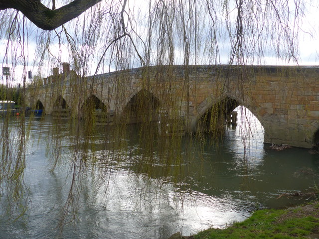
River, Road Bridge 51.71, -1.41722 -1 kms (N)
-
House, Pub, Public, Public House 51.70961, -1.41741 -1 kms (N)
-
Pub 51.71032, -1.41679 -1 kms (N) Northmoor West Oxfordshire Oxfordshire South East England United Kingdom
-
Administrative, Hamlet 51.71071, -1.40587 -1 kms (N) Northmoor West Oxfordshire Oxfordshire South East England United Kingdom
-
Administrative, Civil Parish, Village 51.72716, -1.42416 -1 kms (N) West Oxfordshire Oxfordshire South East England United Kingdom
-
Administrative, Civil Parish, Village 51.69209, -1.43792 -1 kms (N) Vale of White Horse Oxfordshire South East England United Kingdom
-
Administrative, Civil Parish, Village 51.72251, -1.3921 -1 kms (N) Northmoor West Oxfordshire Oxfordshire South East England United Kingdom
-
Village 51.68179, -1.41354 -1 kms (N) Vale of White Horse Oxfordshire South East England United Kingdom
-
Village 51.68723, -1.39151 -1 kms (N) Vale of White Horse Oxfordshire South East England United Kingdom
-
Administrative, Civil Parish, Village 51.74796, -1.40395 -1 kms (N) Stanton Harcourt West Oxfordshire Oxfordshire South East England United Kingdom
51.7098,-1.41713 17/03/2019 Ruth Sharville CC BY-SA 2.0 -1 kms (N)
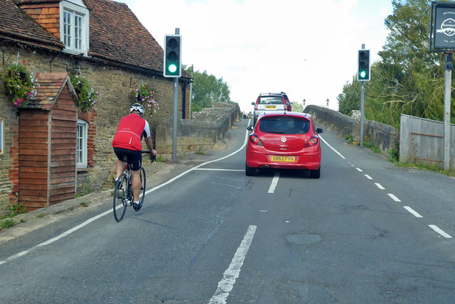
51.7098,-1.41728 22/08/2020 Robin Webster CC BY-SA 2.0 -1 kms (N)
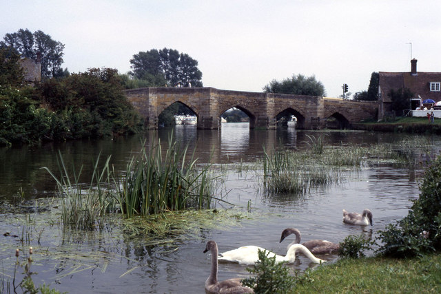
51.70989,-1.41728 30/08/1987 Colin Park CC BY-SA 2.0 -1 kms (N)
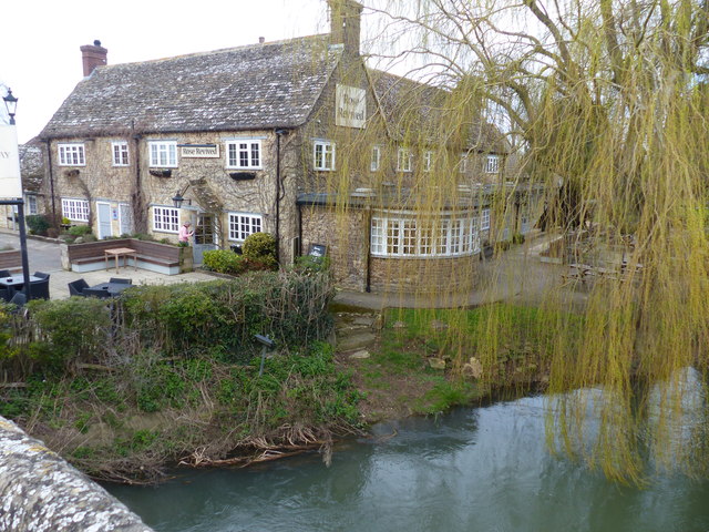
51.71007,-1.41699 17/03/2019 Ruth Sharville CC BY-SA 2.0 -1 kms (N)
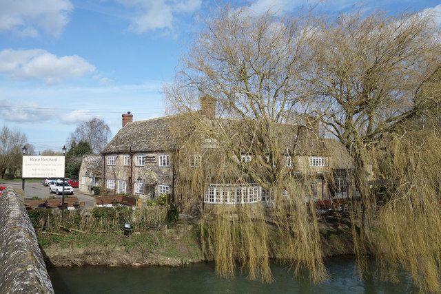
51.71016,-1.41699 02/03/2017 Des Blenkinsopp CC BY-SA 2.0 -1 kms (N)
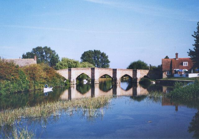
51.7098,-1.41757 01/01/1970 Des Blenkinsopp CC BY-SA 2.0 -1 kms (N)
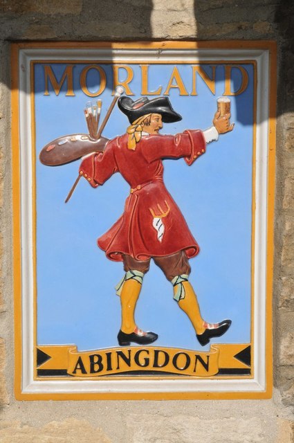
51.71016,-1.41742 21/05/2011 Philip Halling CC BY-SA 2.0 -1 kms (N)
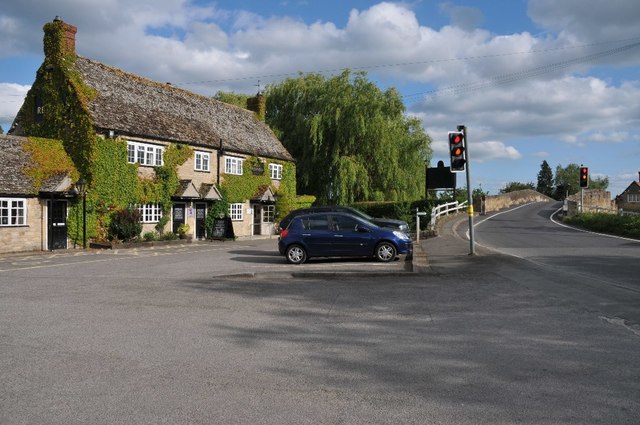
51.71016,-1.41742 21/05/2011 Philip Halling CC BY-SA 2.0 -1 kms (N)
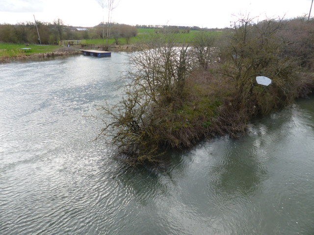
51.70998,-1.41757 17/03/2019 Ruth Sharville CC BY-SA 2.0 -1 kms (N)
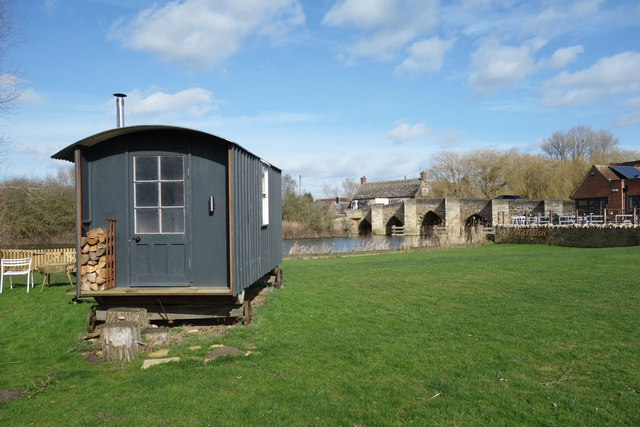
51.70953,-1.41801 02/03/2017 Des Blenkinsopp CC BY-SA 2.0 -1 kms (N)
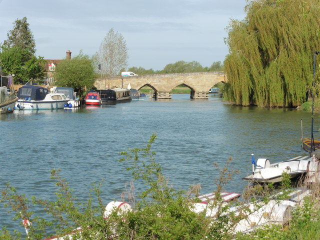
51.70979,-1.41525 11/05/2018 Dave Kelly CC BY-SA 2.0 -1 kms (N)
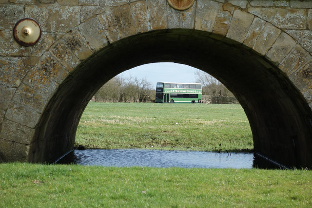
51.70898,-1.41526 02/03/2017 Des Blenkinsopp CC BY-SA 2.0 -1 kms (N)
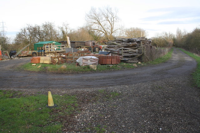
51.71379,-1.42389 04/02/2016 Roger Templeman CC BY-SA 2.0 -1 kms (N)
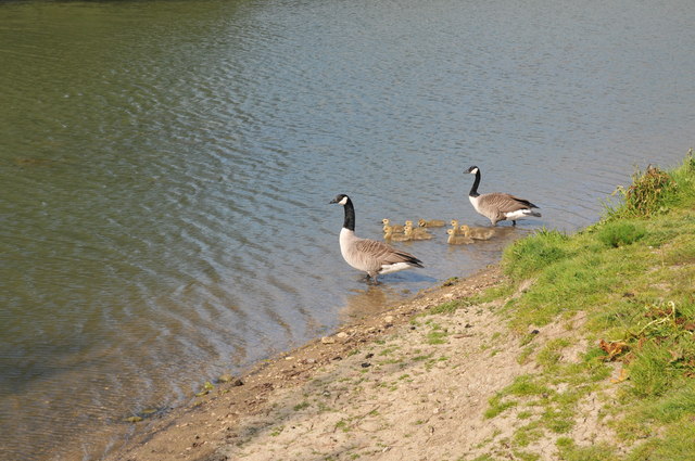
51.70966,-1.42524 21/05/2011 Philip Halling CC BY-SA 2.0 -1 kms (N)
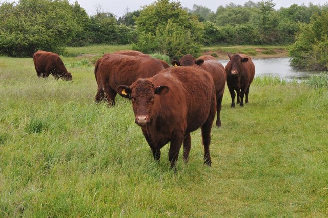
51.70868,-1.40904 28/05/2011 Philip Halling CC BY-SA 2.0 -1 kms (N)
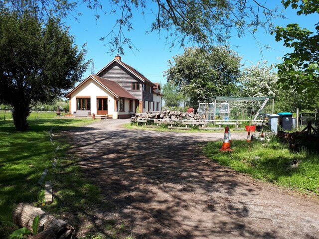
51.71406,-1.42432 30/05/2021 Vieve Forward CC BY-SA 2.0 -1 kms (N)
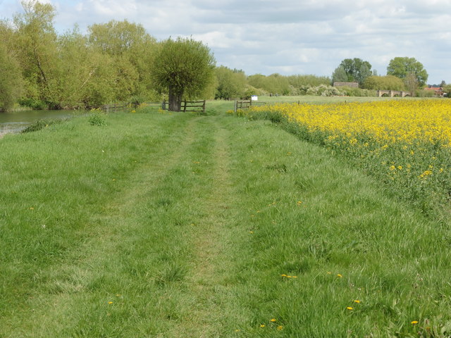
51.70948,-1.42626 10/05/2018 Dave Kelly CC BY-SA 2.0 -1 kms (N)
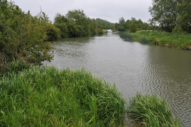
51.70894,-1.40774 28/05/2011 Philip Halling CC BY-SA 2.0 -1 kms (N)
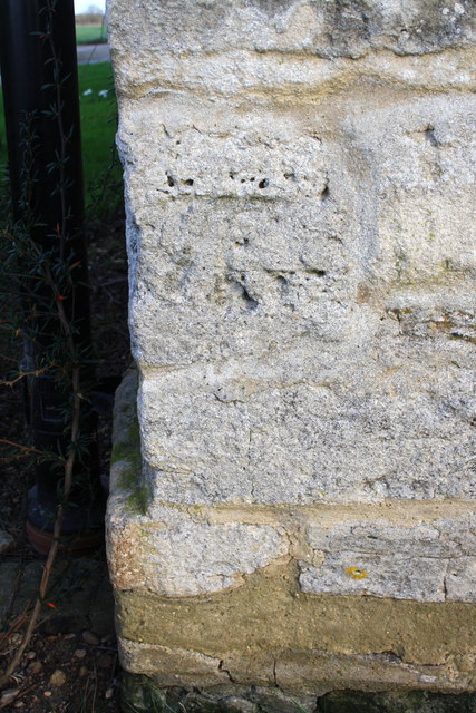
51.7101,-1.40613 04/02/2016 Roger Templeman CC BY-SA 2.0 -1 kms (N)
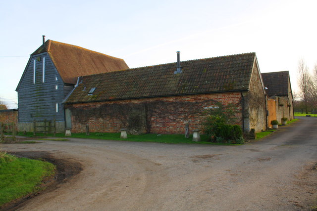
51.7101,-1.40599 04/02/2016 Roger Templeman CC BY-SA 2.0 -1 kms (N)
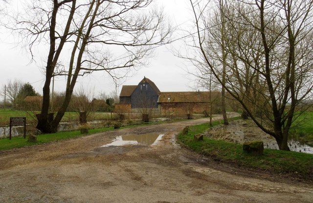
51.71019,-1.40599 11/03/2014 Steve Daniels CC BY-SA 2.0 -1 kms (N)
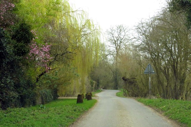
51.71118,-1.40539 11/03/2014 Steve Daniels CC BY-SA 2.0 -1 kms (N)
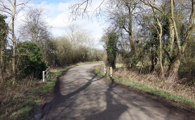
51.71235,-1.40509 02/03/2017 Des Blenkinsopp CC BY-SA 2.0 -1 kms (N)
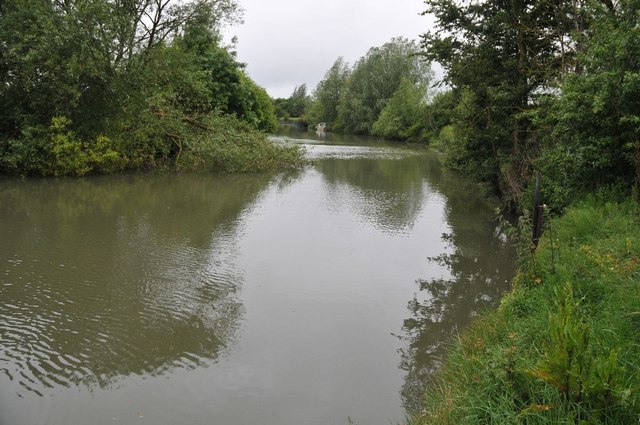
51.70812,-1.40471 28/05/2011 Philip Halling CC BY-SA 2.0 -1 kms (N)
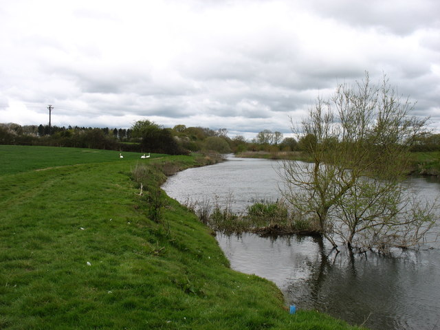
51.70879,-1.43061 25/04/2016 David Purchase CC BY-SA 2.0 -1 kms (N)
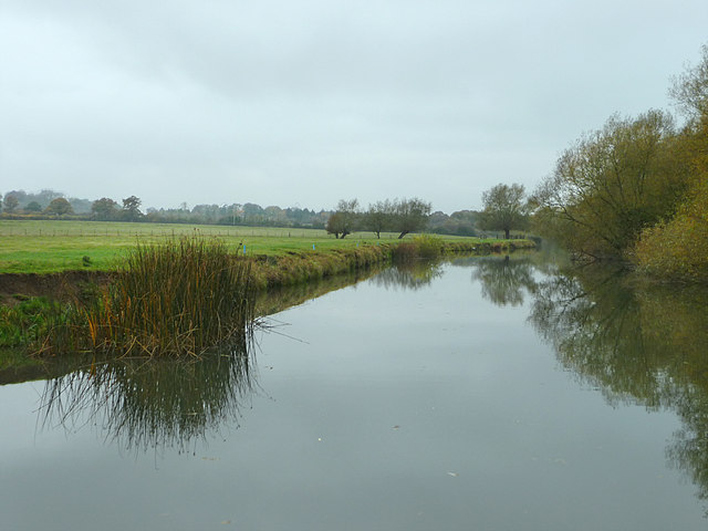
51.70852,-1.43076 28/10/2009 Chris Gunns CC BY-SA 2.0 -1 kms (N)
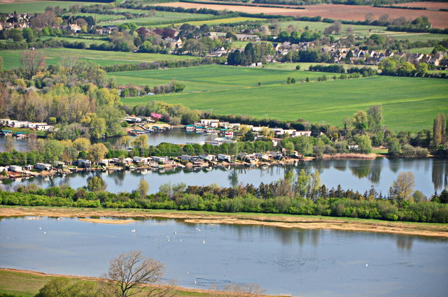
51.70708,-1.43063 06/05/2013 Dave Price CC BY-SA 2.0 -1 kms (N)
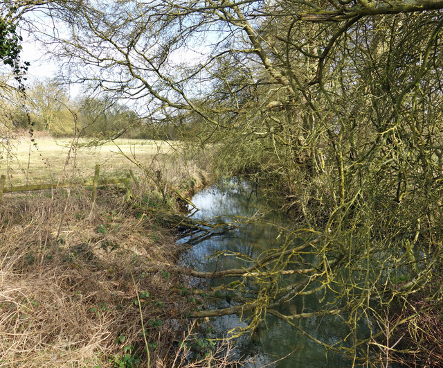
51.71297,-1.40349 02/03/2017 Des Blenkinsopp CC BY-SA 2.0 -1 kms (N)
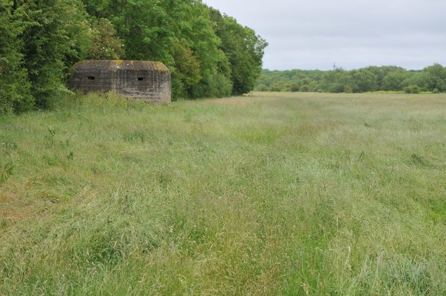
51.70775,-1.40327 28/05/2011 Philip Halling CC BY-SA 2.0 -1 kms (N)
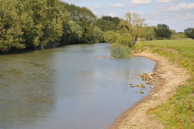
51.7087,-1.43119 21/05/2011 Philip Halling CC BY-SA 2.0 -1 kms (N)
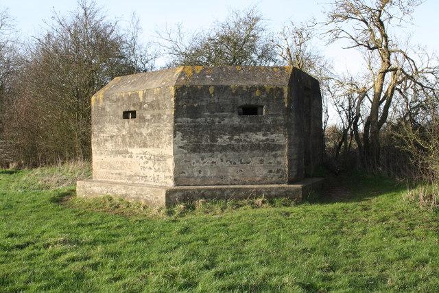
51.70775,-1.40269 04/02/2016 Roger Templeman CC BY-SA 2.0 -1 kms (N)
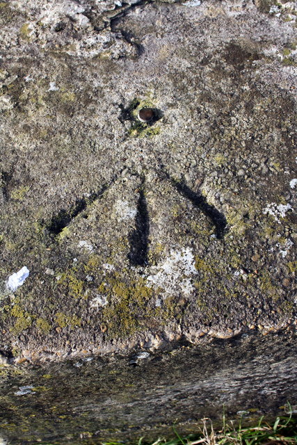
51.70775,-1.40269 04/02/2016 Roger Templeman CC BY-SA 2.0 -1 kms (N)
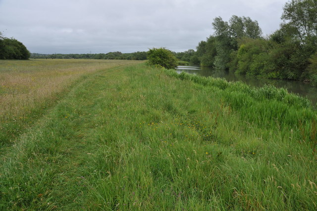
51.70738,-1.40139 28/05/2011 Philip Halling CC BY-SA 2.0 -1 kms (N)
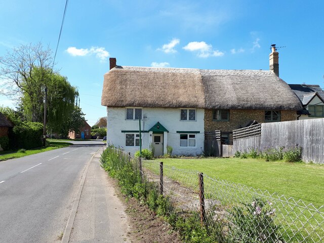
51.72682,-1.42271 30/05/2021 Vieve Forward CC BY-SA 2.0 -1 kms (N)
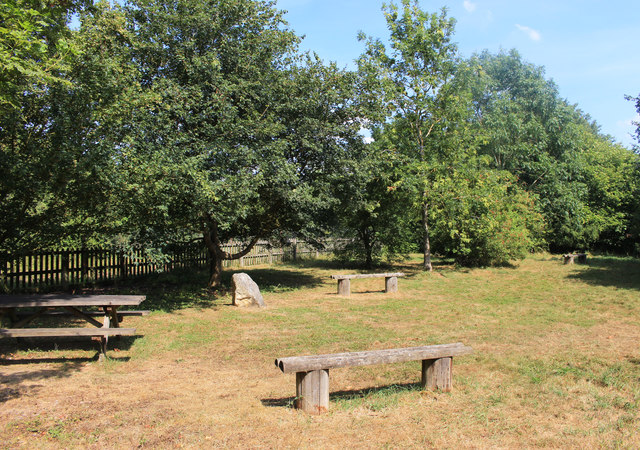
51.71456,-1.43444 25/07/2018 Des Blenkinsopp CC BY-SA 2.0 -1 kms (N)
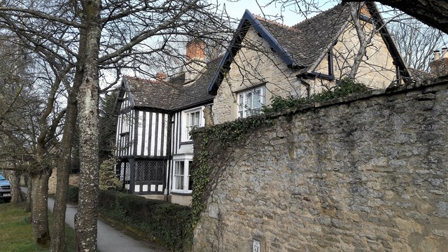
51.72495,-1.42679 24/02/2017 Chris Brown CC BY-SA 2.0 -1 kms (N)
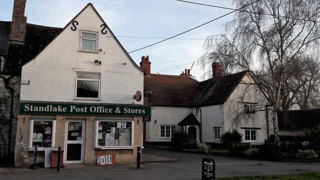
51.72576,-1.42547 24/02/2017 Chris Brown CC BY-SA 2.0 -1 kms (N)
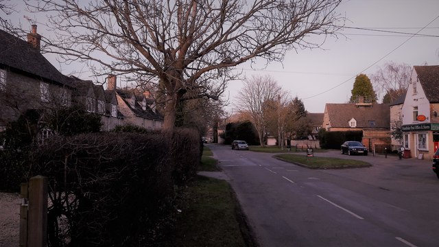
51.72602,-1.42532 24/02/2017 Chris Brown CC BY-SA 2.0 -1 kms (N)
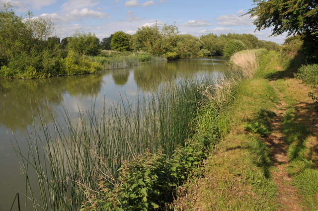
51.708,-1.43554 21/05/2011 Philip Halling CC BY-SA 2.0 -1 kms (N)
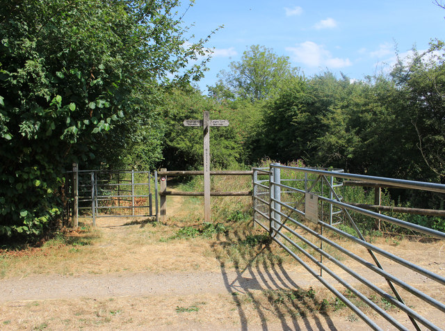
51.71429,-1.43517 25/07/2018 Des Blenkinsopp CC BY-SA 2.0 -1 kms (N)
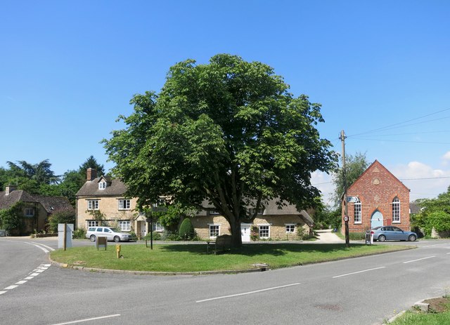
51.7271,-1.42459 22/07/2014 Des Blenkinsopp CC BY-SA 2.0 -1 kms (N)
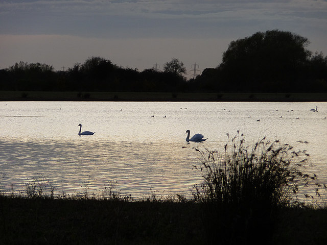
51.71313,-1.43663 27/10/2009 Chris Gunns CC BY-SA 2.0 -1 kms (N)
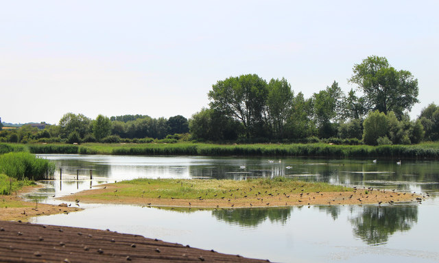
51.71205,-1.43679 25/07/2018 Des Blenkinsopp CC BY-SA 2.0 -1 kms (N)
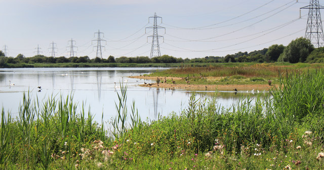
51.71403,-1.43677 25/07/2018 Des Blenkinsopp CC BY-SA 2.0 -1 kms (N)
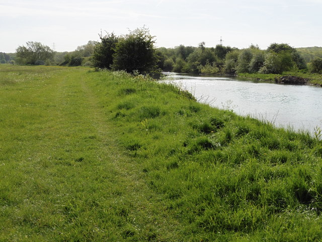
51.70664,-1.3972 11/05/2018 Dave Kelly CC BY-SA 2.0 -1 kms (N)
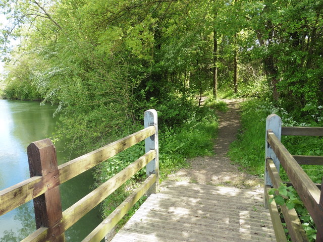
51.70783,-1.438 10/05/2018 Dave Kelly CC BY-SA 2.0 -1 kms (N)
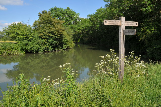
51.7082,-1.43843 21/05/2011 Philip Halling CC BY-SA 2.0 -1 kms (N)
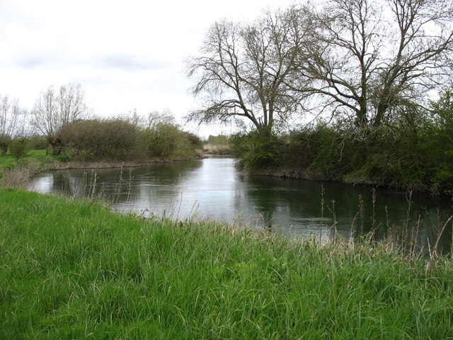
51.70963,-1.43856 25/04/2016 David Purchase CC BY-SA 2.0 -1 kms (N)
51.70793,-1.43872 15/08/2019 Vieve Forward CC BY-SA 2.0 -1 kms (N)
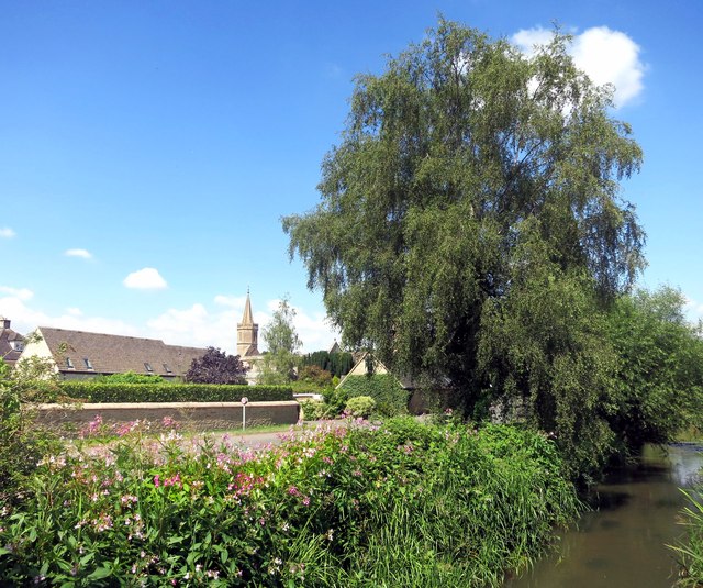
51.7298,-1.42557 22/07/2014 Des Blenkinsopp CC BY-SA 2.0 -1 kms (N)
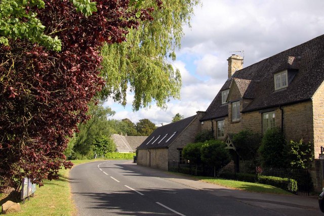
51.72998,-1.42542 13/06/2013 Steve Daniels CC BY-SA 2.0 -1 kms (N)
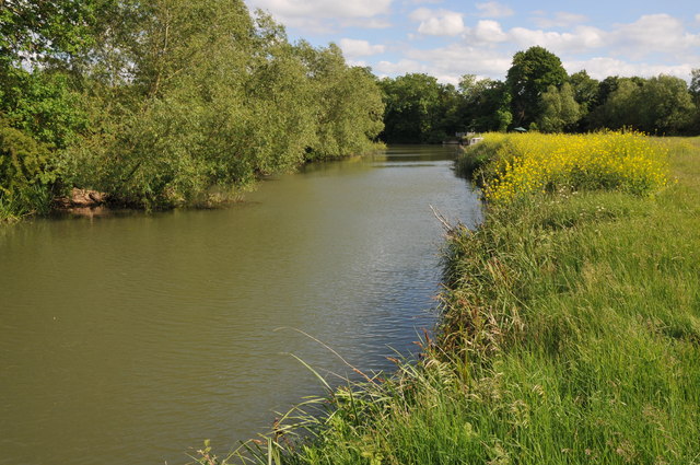
51.70874,-1.439 21/05/2011 Philip Halling CC BY-SA 2.0 -1 kms (N)
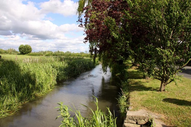
51.73007,-1.42556 13/06/2013 Steve Daniels CC BY-SA 2.0 -1 kms (N)
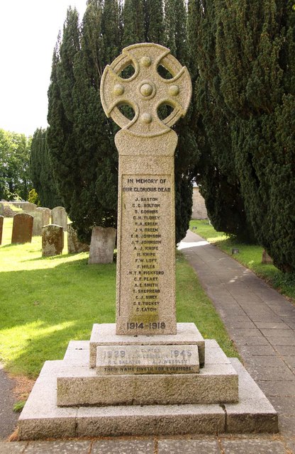
51.72998,-1.42585 13/06/2013 Steve Daniels CC BY-SA 2.0 -1 kms (N)
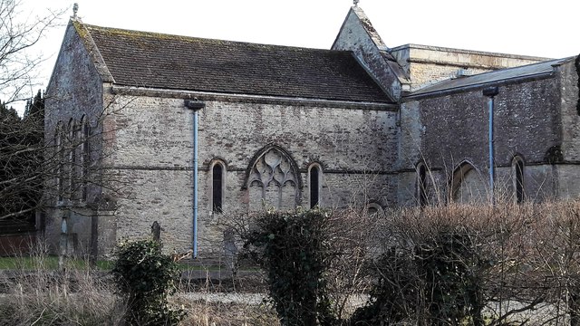
51.72989,-1.42614 24/02/2017 Chris Brown CC BY-SA 2.0 -1 kms (N)
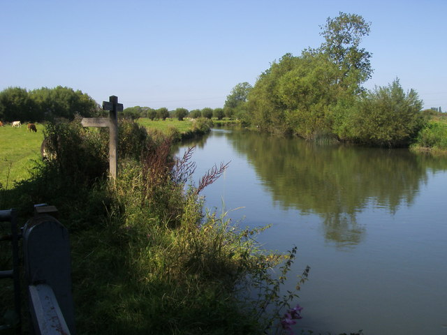
51.70901,-1.43914 05/09/2012 Shaun Ferguson CC BY-SA 2.0 -1 kms (N)
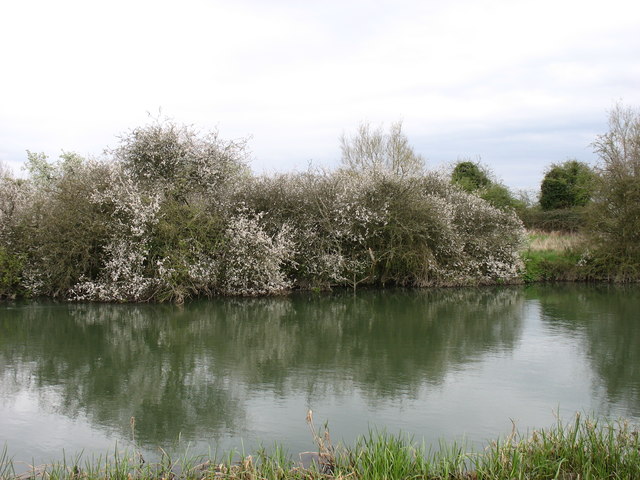
51.70636,-1.39533 24/04/2016 David Purchase CC BY-SA 2.0 -1 kms (N)
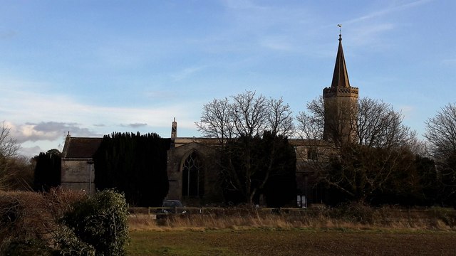
51.7299,-1.42629 24/02/2017 Chris Brown CC BY-SA 2.0 -1 kms (N)
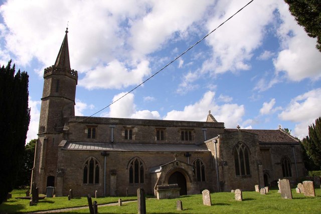
51.7299,-1.42629 13/06/2013 Steve Daniels CC BY-SA 2.0 -1 kms (N)
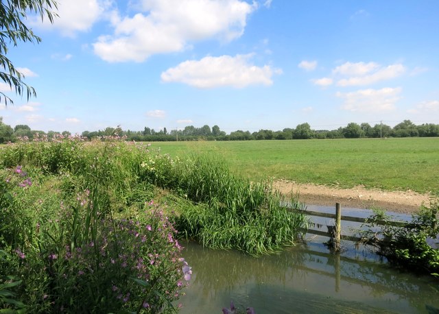
51.73106,-1.42483 22/07/2014 Des Blenkinsopp CC BY-SA 2.0 -1 kms (N)
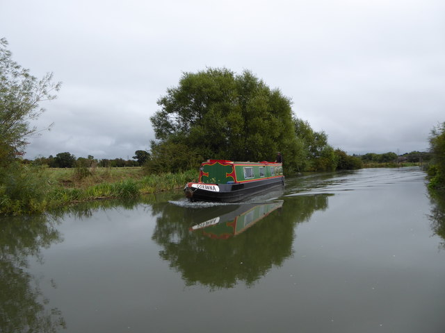
51.70663,-1.39445 06/09/2016 Vieve Forward CC BY-SA 2.0 -1 kms (N)
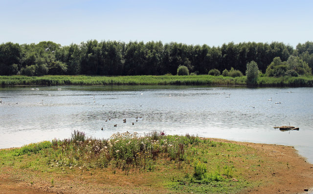
51.71315,-1.44039 25/07/2018 Des Blenkinsopp CC BY-SA 2.0 -1 kms (N)
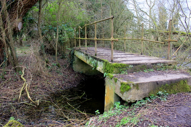
51.70599,-1.3936 27/02/2017 Nigel Mykura CC BY-SA 2.0 -1 kms (N)
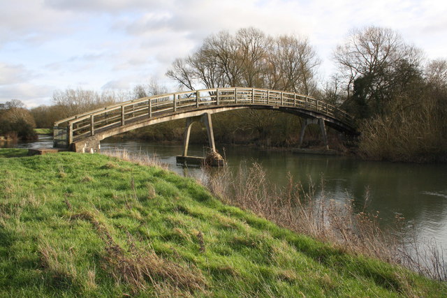
51.70662,-1.39344 04/02/2016 Roger Templeman CC BY-SA 2.0 -1 kms (N)
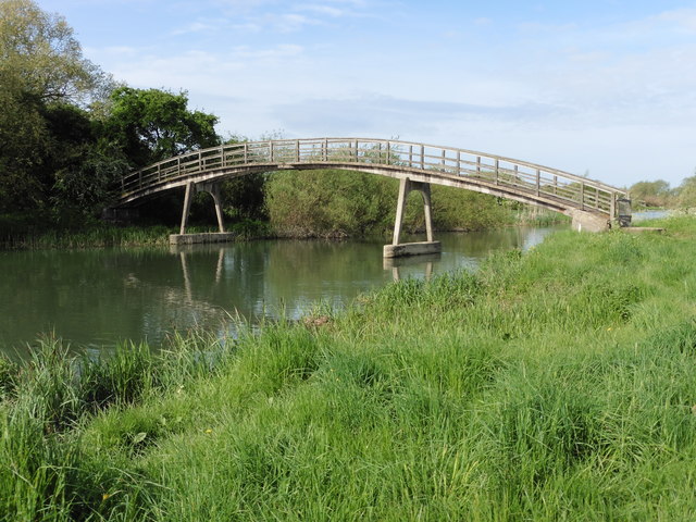
51.7068,-1.39301 11/05/2018 Dave Kelly CC BY-SA 2.0 -1 kms (N)
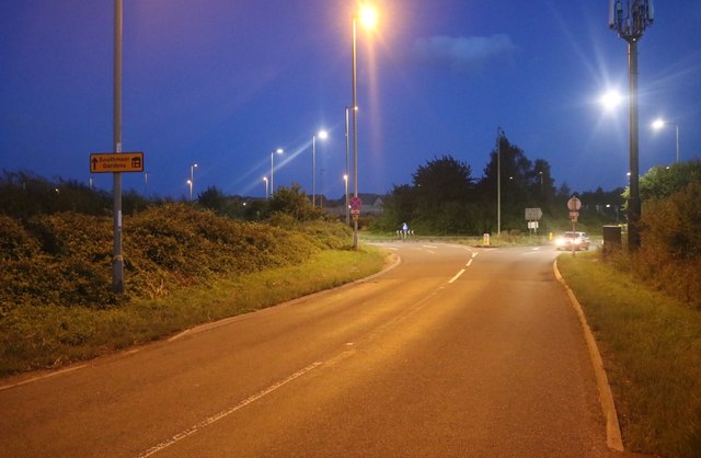
51.68568,-1.41282 10/08/2019 David Howard CC BY-SA 2.0 -1 kms (N)
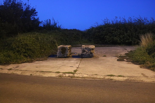
51.68568,-1.41267 10/08/2019 David Howard CC BY-SA 2.0 -1 kms (N)
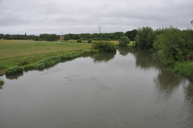
51.70653,-1.39243 28/05/2011 Philip Halling CC BY-SA 2.0 -1 kms (N)
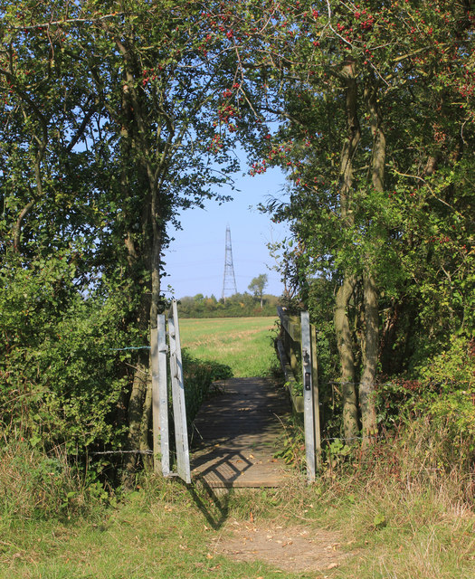
51.71264,-1.39235 20/09/2020 Des Blenkinsopp CC BY-SA 2.0 -1 kms (N)
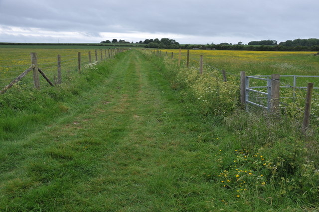
51.70365,-1.3929 28/05/2011 Philip Halling CC BY-SA 2.0 -1 kms (N)
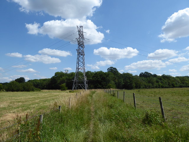
51.70518,-1.39245 16/07/2019 Vieve Forward CC BY-SA 2.0 -1 kms (N)
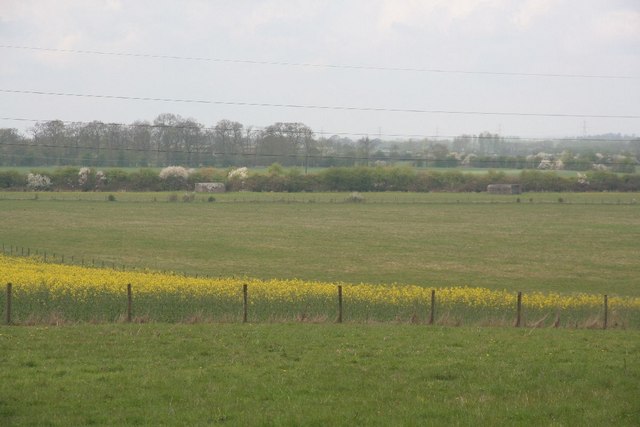
51.70203,-1.39249 25/04/2010 Bill Nicholls CC BY-SA 2.0 -1 kms (N)
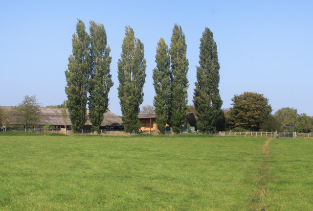
51.71858,-1.39256 20/09/2020 Des Blenkinsopp CC BY-SA 2.0 -1 kms (N)
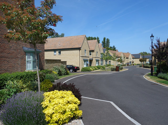
51.68354,-1.4153 28/05/2020 Des Blenkinsopp CC BY-SA 2.0 -1 kms (N)
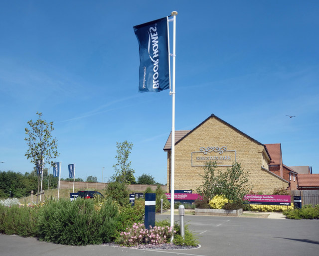
51.68397,-1.41139 28/05/2020 Des Blenkinsopp CC BY-SA 2.0 -1 kms (N)
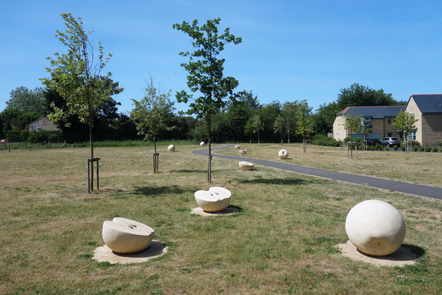
51.683,-1.41502 28/05/2020 Des Blenkinsopp CC BY-SA 2.0 -1 kms (N)
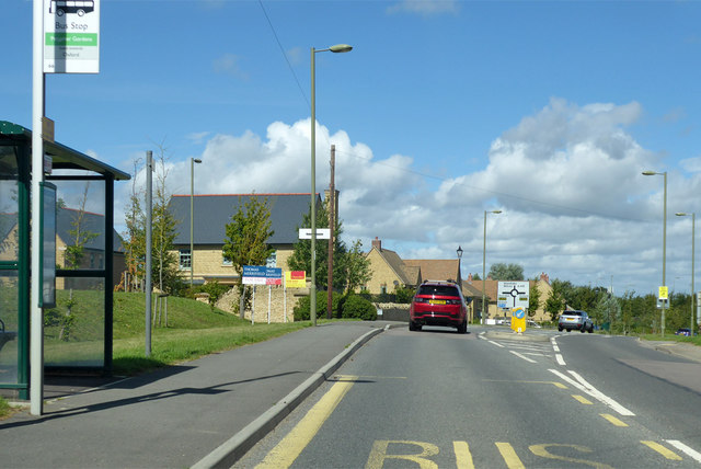
51.68325,-1.41285 22/08/2020 Robin Webster CC BY-SA 2.0 -1 kms (N)
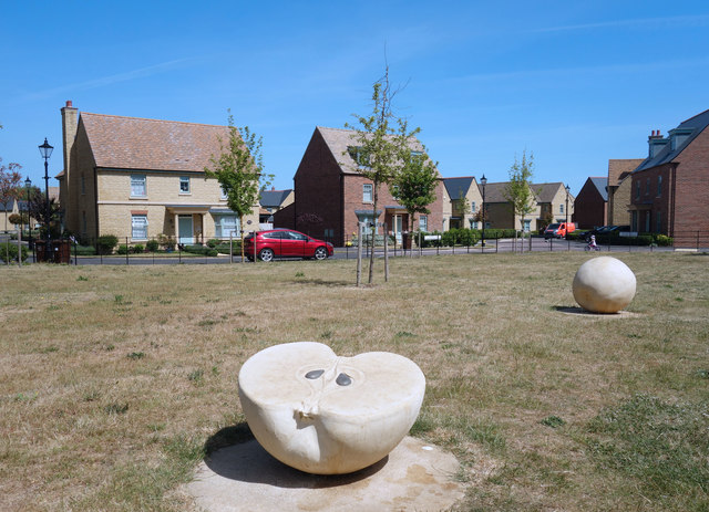
51.68299,-1.41473 28/05/2020 Des Blenkinsopp CC BY-SA 2.0 -1 kms (N)
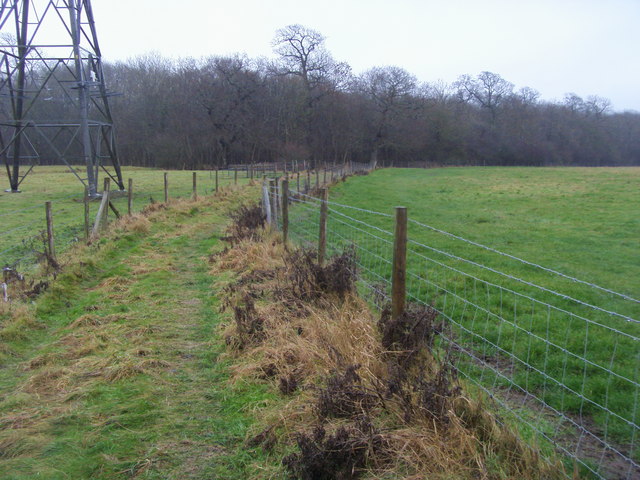
51.70328,-1.39074 30/12/2009 Shaun Ferguson CC BY-SA 2.0 -1 kms (N)
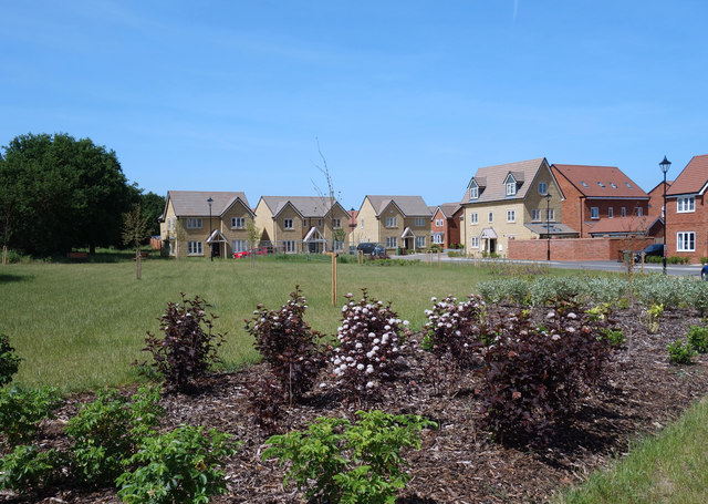
51.68378,-1.40922 28/05/2020 Des Blenkinsopp CC BY-SA 2.0 -1 kms (N)
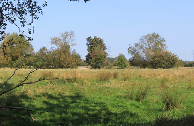
51.71227,-1.39004 20/09/2020 Des Blenkinsopp CC BY-SA 2.0 -1 kms (N)
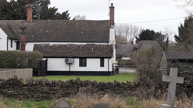
51.72299,-1.39322 19/02/2017 Chris Brown CC BY-SA 2.0 -1 kms (N)
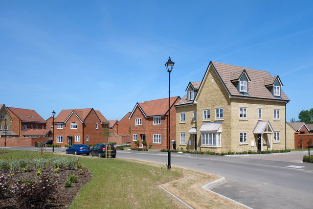
51.68386,-1.4085 28/05/2020 Des Blenkinsopp CC BY-SA 2.0 -1 kms (N)
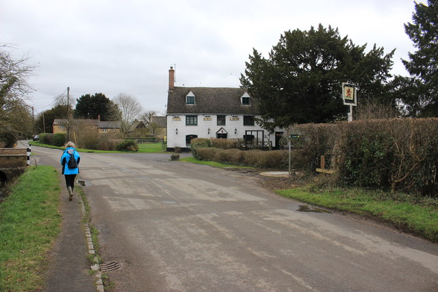
51.7229,-1.39308 25/02/2017 Nigel Mykura CC BY-SA 2.0 -1 kms (N)
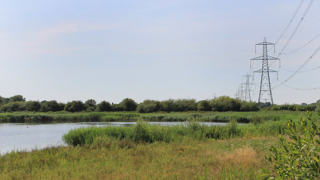
51.71407,-1.44444 25/07/2018 Des Blenkinsopp CC BY-SA 2.0 -1 kms (N)
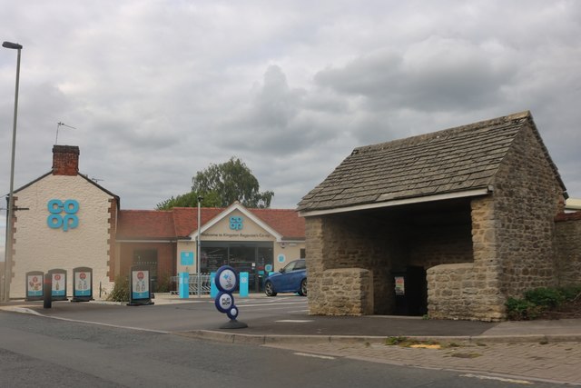
51.68226,-1.41272 10/09/2019 David Howard CC BY-SA 2.0 -1 kms (N)
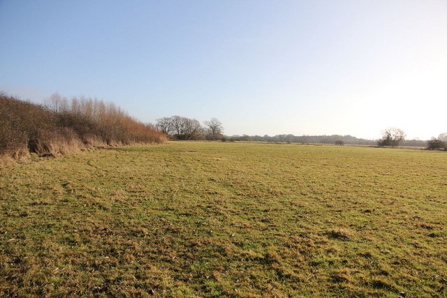
51.71281,-1.44518 12/12/2010 Bill Nicholls CC BY-SA 2.0 -1 kms (N)
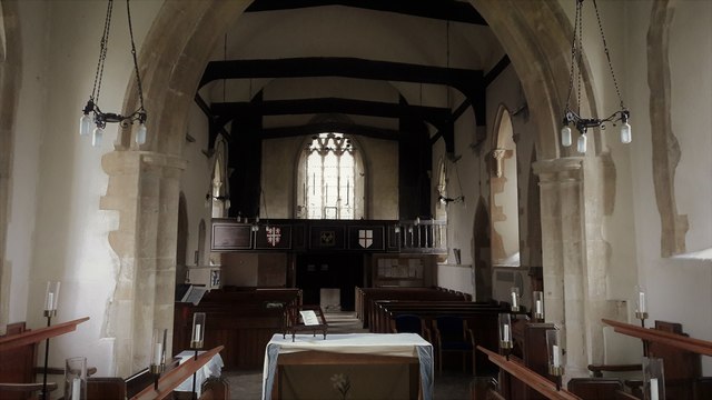
51.72289,-1.39207 19/02/2017 Chris Brown CC BY-SA 2.0 -1 kms (N)
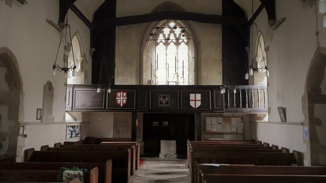
51.72298,-1.39206 19/02/2017 Chris Brown CC BY-SA 2.0 -1 kms (N)
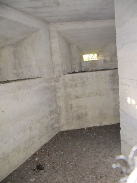
51.71308,-1.44532 12/12/2010 Bill Nicholls CC BY-SA 2.0 -1 kms (N)
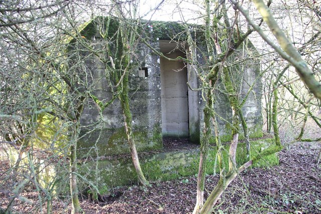
51.71314,-1.44532 12/12/2010 Bill Nicholls CC BY-SA 2.0 -1 kms (N)
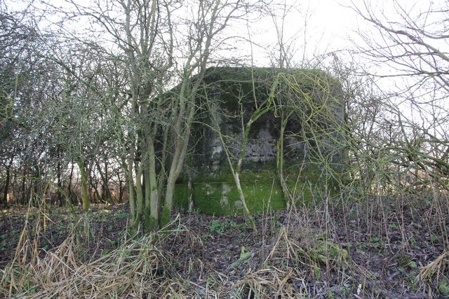
51.71316,-1.44534 12/12/2010 Bill Nicholls CC BY-SA 2.0 -1 kms (N)
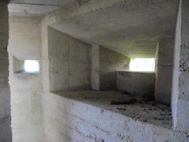
51.71317,-1.44546 12/12/2010 Bill Nicholls CC BY-SA 2.0 -1 kms (N)
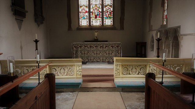
51.72298,-1.39178 19/02/2017 Chris Brown CC BY-SA 2.0 -1 kms (N)
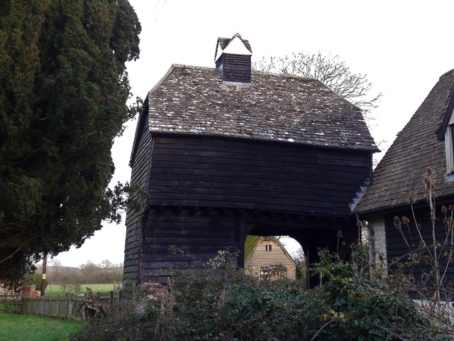
51.72271,-1.39163 01/02/2018 Chris Brown CC BY-SA 2.0 -1 kms (N)
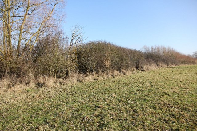
51.71308,-1.44561 12/12/2010 Bill Nicholls CC BY-SA 2.0 -1 kms (N)
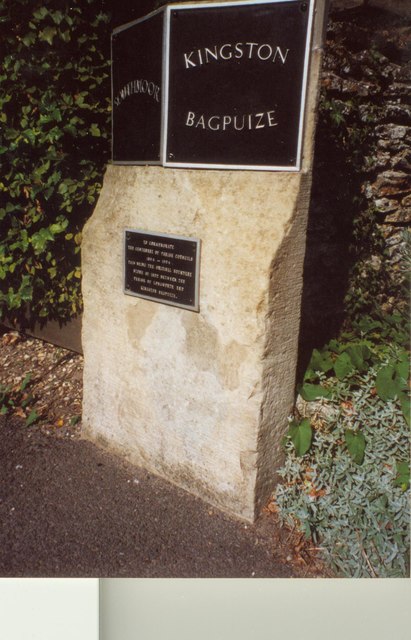
51.68112,-1.41721 01/01/1970 Milestone Society CC BY-SA 2.0 -1 kms (N)
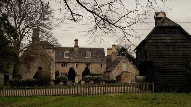
51.72253,-1.39135 19/02/2017 Chris Brown CC BY-SA 2.0 -1 kms (N)
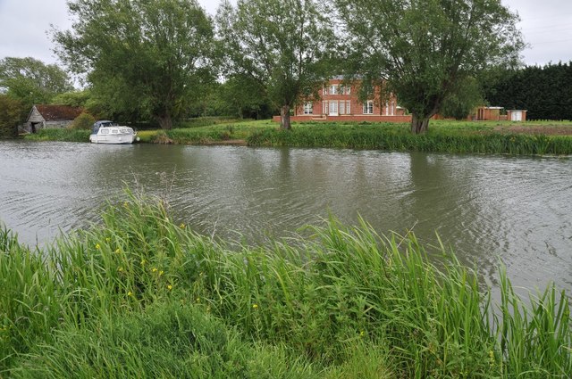
51.70786,-1.38836 28/05/2011 Philip Halling CC BY-SA 2.0 -1 kms (N)
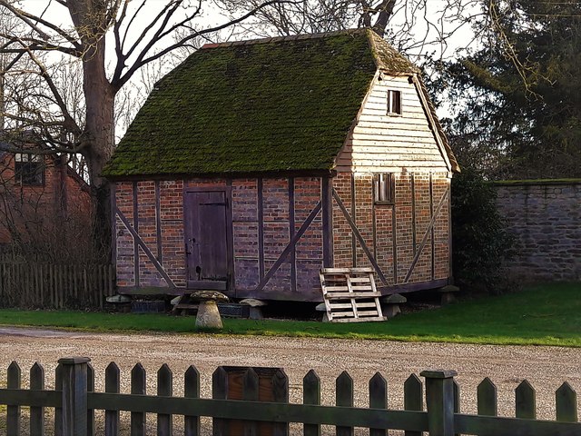
51.72271,-1.3912 01/02/2018 Chris Brown CC BY-SA 2.0 -1 kms (N)
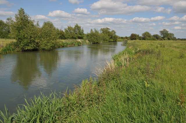
51.7121,-1.44692 21/05/2011 Philip Halling CC BY-SA 2.0 -1 kms (N)
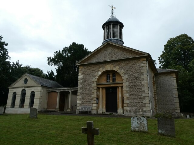
51.6802,-1.41245 31/07/2021 Basher Eyre CC BY-SA 2.0 -1 kms (N)
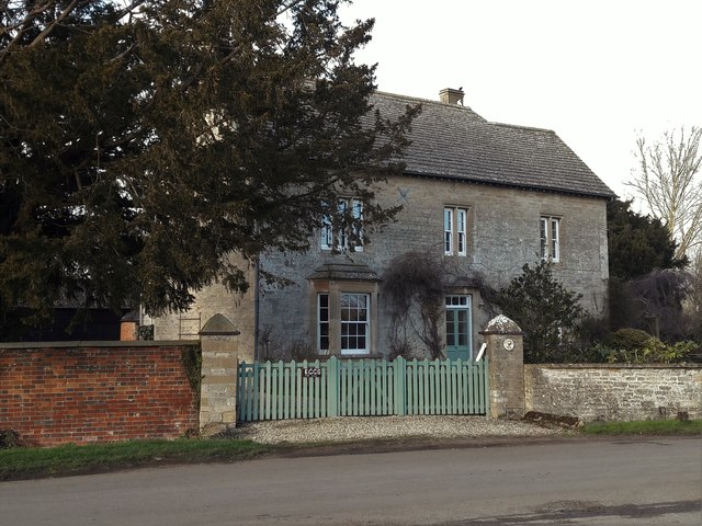
51.72387,-1.39046 01/02/2018 Chris Brown CC BY-SA 2.0 -1 kms (N)
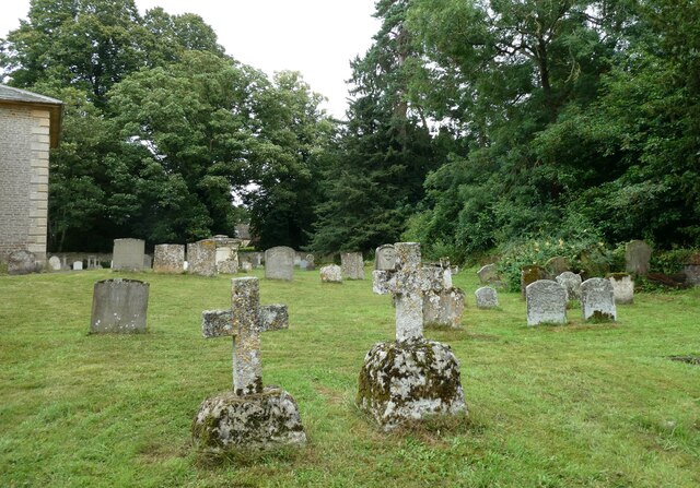
51.68001,-1.41202 31/07/2021 Basher Eyre CC BY-SA 2.0 -1 kms (N)
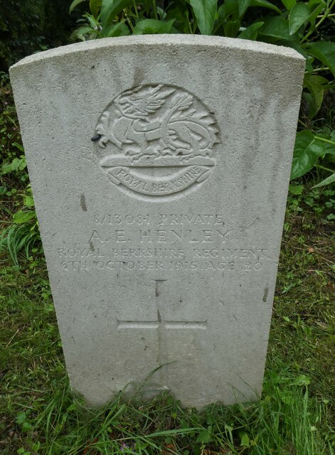
51.68001,-1.41202 31/07/2021 Basher Eyre CC BY-SA 2.0 -1 kms (N)
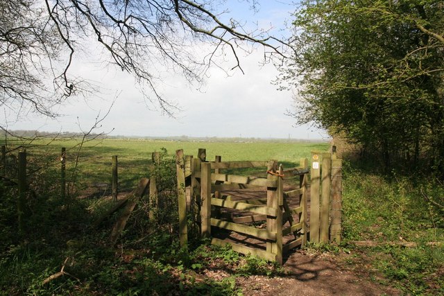
51.70048,-1.38788 25/04/2010 Bill Nicholls CC BY-SA 2.0 -1 kms (N)
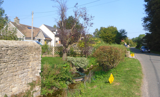
51.72396,-1.38988 20/09/2020 Des Blenkinsopp CC BY-SA 2.0 -1 kms (N)
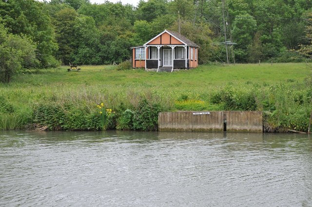
51.70865,-1.38632 28/05/2011 Philip Halling CC BY-SA 2.0 -1 kms (N)
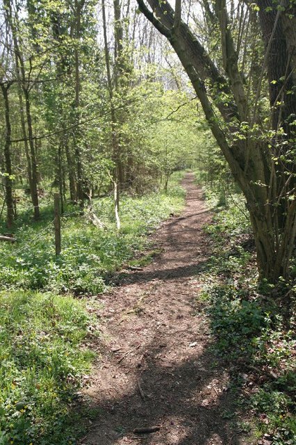
51.70021,-1.38745 25/04/2010 Bill Nicholls CC BY-SA 2.0 -1 kms (N)
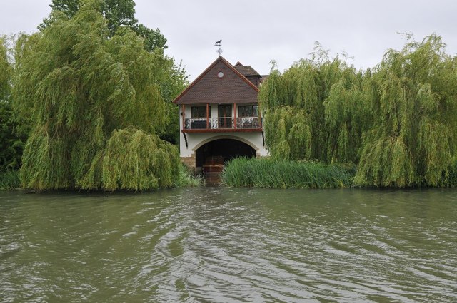
51.7099,-1.38471 28/05/2011 Philip Halling CC BY-SA 2.0 -1 kms (N)
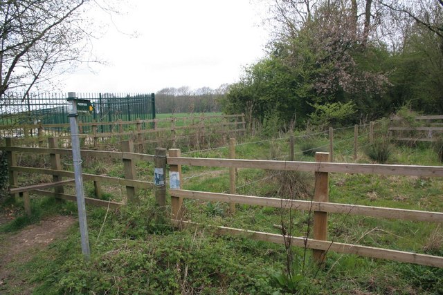
51.69804,-1.38647 25/04/2010 Bill Nicholls CC BY-SA 2.0 -1 kms (N)
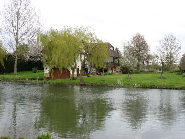
51.70981,-1.38414 24/04/2016 David Purchase CC BY-SA 2.0 -1 kms (N)
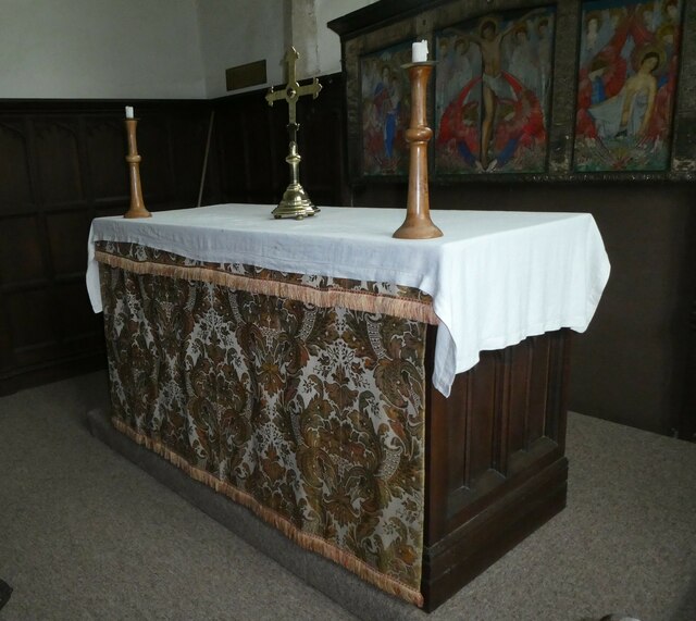
51.69268,-1.44586 31/07/2021 Basher Eyre CC BY-SA 2.0 -1 kms (N)
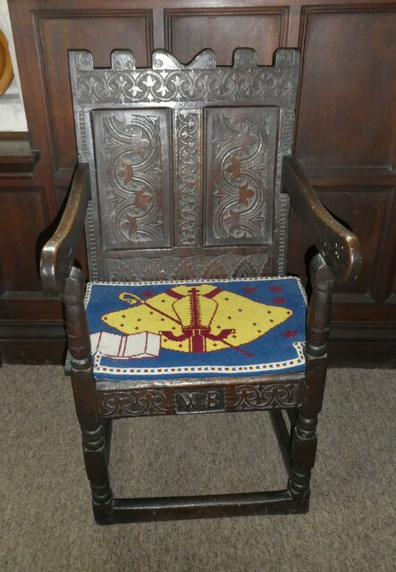
51.69268,-1.44586 31/07/2021 Basher Eyre CC BY-SA 2.0 -1 kms (N)
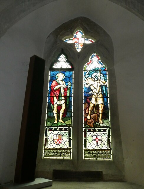
51.69268,-1.44586 31/07/2021 Basher Eyre CC BY-SA 2.0 -1 kms (N)
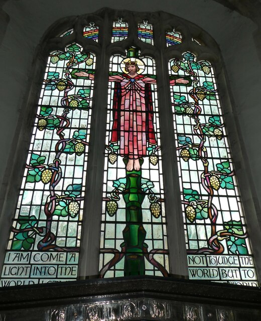
51.69268,-1.44586 31/07/2021 Basher Eyre CC BY-SA 2.0 -1 kms (N)
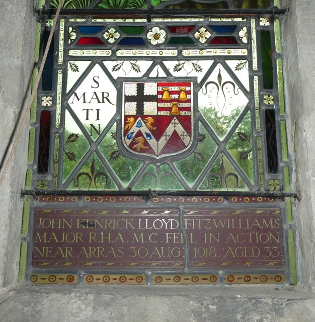
51.69268,-1.44586 31/07/2021 Basher Eyre CC BY-SA 2.0 -1 kms (N)
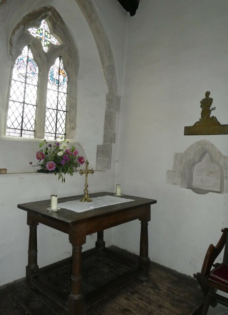
51.69268,-1.44586 31/07/2021 Basher Eyre CC BY-SA 2.0 -1 kms (N)
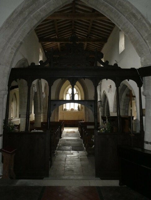
51.69268,-1.44586 31/07/2021 Basher Eyre CC BY-SA 2.0 -1 kms (N)
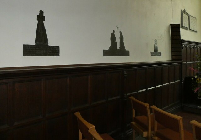
51.69268,-1.44586 31/07/2021 Basher Eyre CC BY-SA 2.0 -1 kms (N)
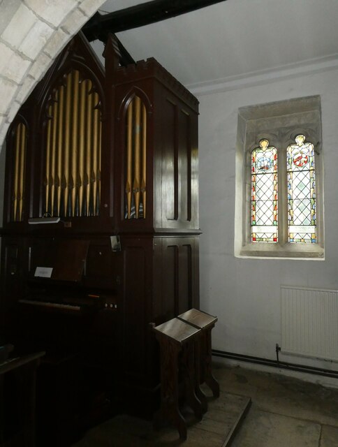
51.69268,-1.44586 31/07/2021 Basher Eyre CC BY-SA 2.0 -1 kms (N)
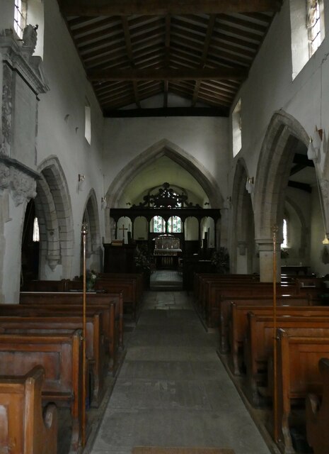
51.69268,-1.44586 31/07/2021 Basher Eyre CC BY-SA 2.0 -1 kms (N)
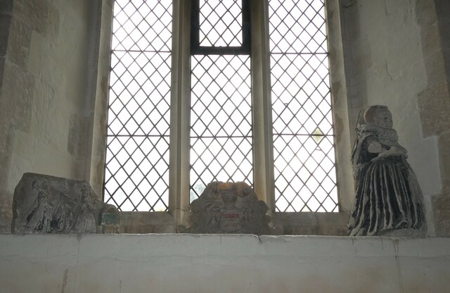
51.69268,-1.44586 31/07/2021 Basher Eyre CC BY-SA 2.0 -1 kms (N)
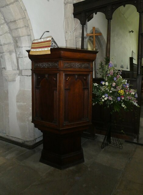
51.69268,-1.44586 31/07/2021 Basher Eyre CC BY-SA 2.0 -1 kms (N)
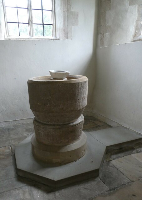
51.69268,-1.44586 31/07/2021 Basher Eyre CC BY-SA 2.0 -1 kms (N)
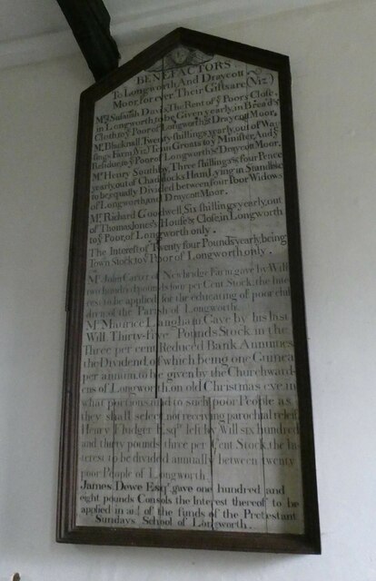
51.69268,-1.44586 31/07/2021 Basher Eyre CC BY-SA 2.0 -1 kms (N)
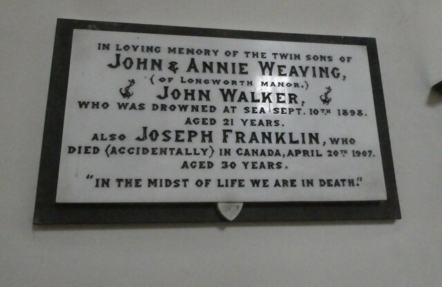
51.69268,-1.44586 31/07/2021 Basher Eyre CC BY-SA 2.0 -1 kms (N)
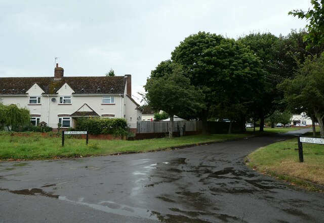
51.68558,-1.39358 31/07/2021 Basher Eyre CC BY-SA 2.0 -1 kms (N)
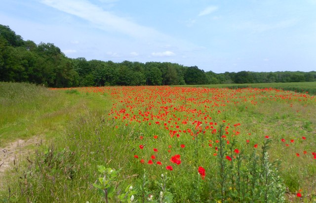
51.70064,-1.38339 27/06/2013 Des Blenkinsopp CC BY-SA 2.0 -1 kms (N)
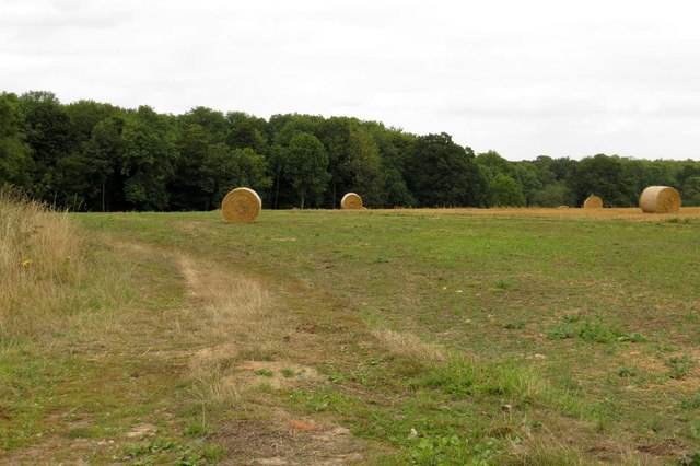
51.69973,-1.38297 03/09/2013 Steve Daniels CC BY-SA 2.0 -1 kms (N)
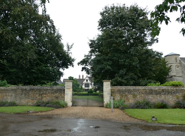
51.68709,-1.38965 31/07/2021 Basher Eyre CC BY-SA 2.0 -1 kms (N)
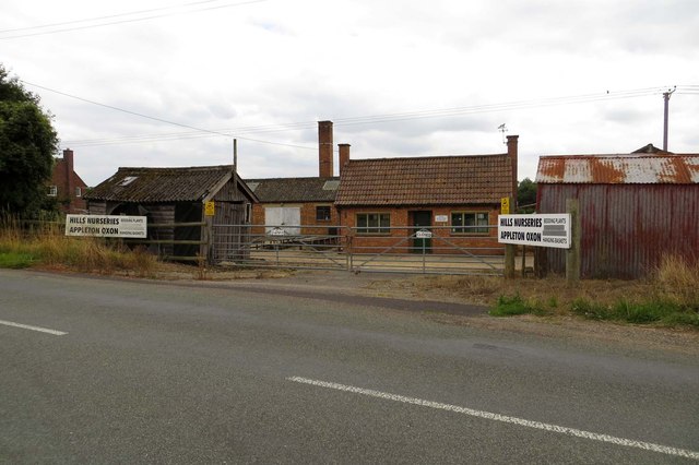
51.69875,-1.38284 03/09/2013 Steve Daniels CC BY-SA 2.0 -1 kms (N)
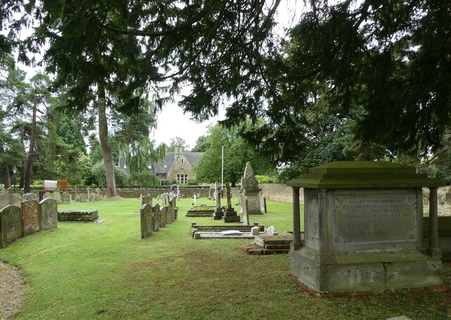
51.68718,-1.38893 31/07/2021 Basher Eyre CC BY-SA 2.0 -1 kms (N)
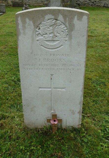
51.68718,-1.38893 31/07/2021 Basher Eyre CC BY-SA 2.0 -1 kms (N)
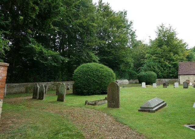
51.68718,-1.38893 31/07/2021 Basher Eyre CC BY-SA 2.0 -1 kms (N)
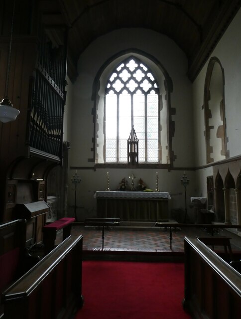
51.68718,-1.38893 31/07/2021 Basher Eyre CC BY-SA 2.0 -1 kms (N)
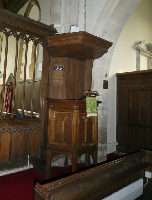
51.68718,-1.38893 31/07/2021 Basher Eyre CC BY-SA 2.0 -1 kms (N)
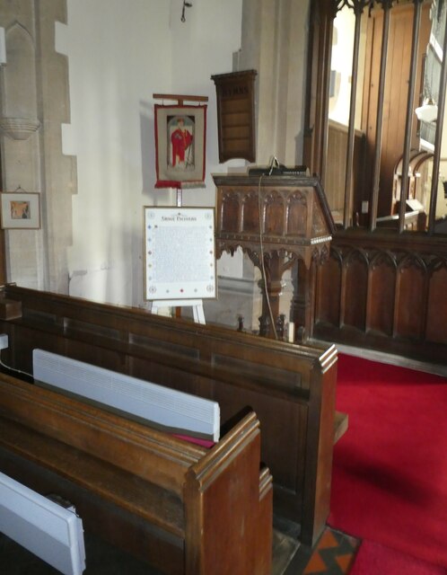
51.68718,-1.38893 31/07/2021 Basher Eyre CC BY-SA 2.0 -1 kms (N)
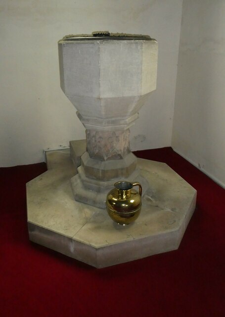
51.68718,-1.38893 31/07/2021 Basher Eyre CC BY-SA 2.0 -1 kms (N)
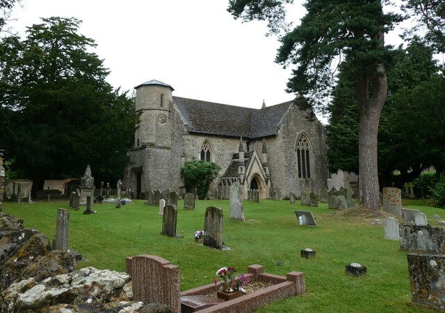
51.68718,-1.38893 31/07/2021 Basher Eyre CC BY-SA 2.0 -1 kms (N)
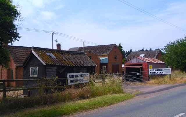
51.69847,-1.3827 27/06/2013 Des Blenkinsopp CC BY-SA 2.0 -1 kms (N)
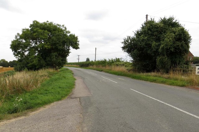
51.69901,-1.3824 03/09/2013 Steve Daniels CC BY-SA 2.0 -1 kms (N)
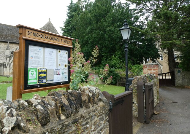
51.687,-1.38879 31/07/2021 Basher Eyre CC BY-SA 2.0 -1 kms (N)
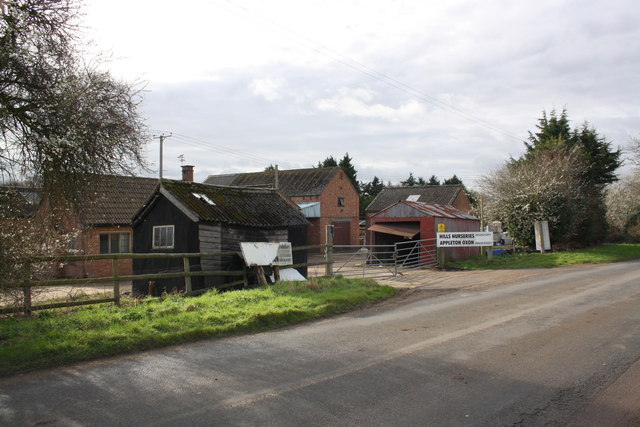
51.69892,-1.3824 04/02/2016 Roger Templeman CC BY-SA 2.0 -1 kms (N)
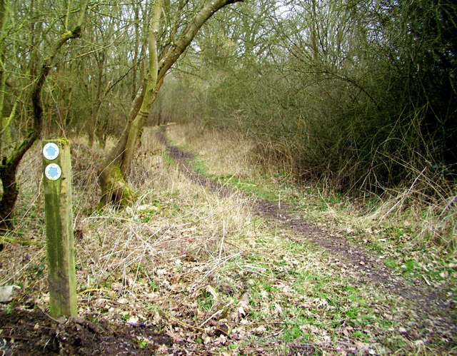
51.70485,-1.38102 05/03/2015 Des Blenkinsopp CC BY-SA 2.0 -1 kms (N)
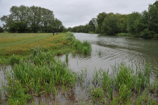
51.71267,-1.38077 28/05/2011 Philip Halling CC BY-SA 2.0 -1 kms (N)
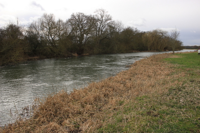
51.71294,-1.38048 27/02/2017 Nigel Mykura CC BY-SA 2.0 -1 kms (N)
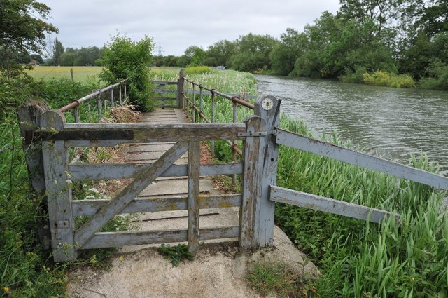
51.71303,-1.38047 28/05/2011 Philip Halling CC BY-SA 2.0 -1 kms (N)
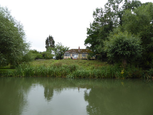
51.71222,-1.38034 06/09/2016 Vieve Forward CC BY-SA 2.0 -1 kms (N)
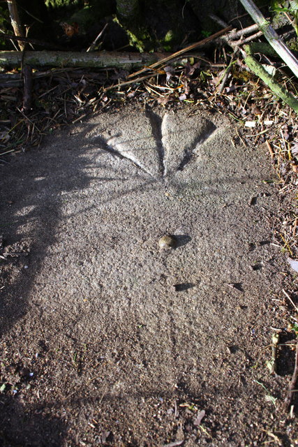
51.71294,-1.38033 04/02/2016 Roger Templeman CC BY-SA 2.0 -1 kms (N)
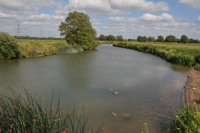
51.71267,-1.45401 21/05/2011 Philip Halling CC BY-SA 2.0 -1 kms (N)
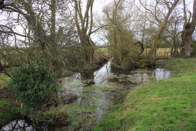
51.72257,-1.38237 27/02/2017 Nigel Mykura CC BY-SA 2.0 -1 kms (N)
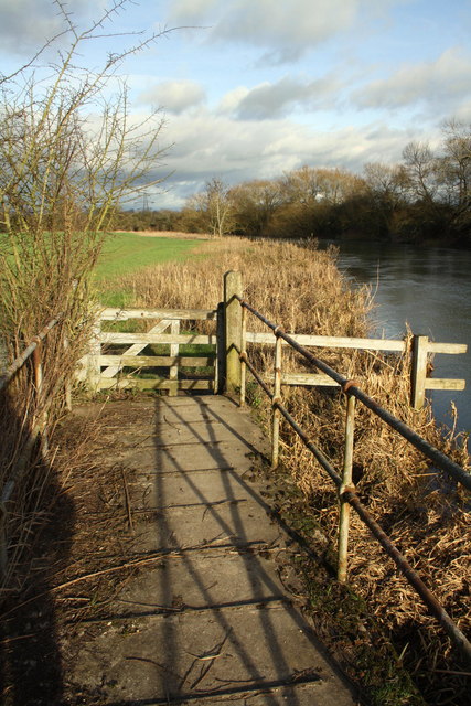
51.71303,-1.38018 04/02/2016 Roger Templeman CC BY-SA 2.0 -1 kms (N)
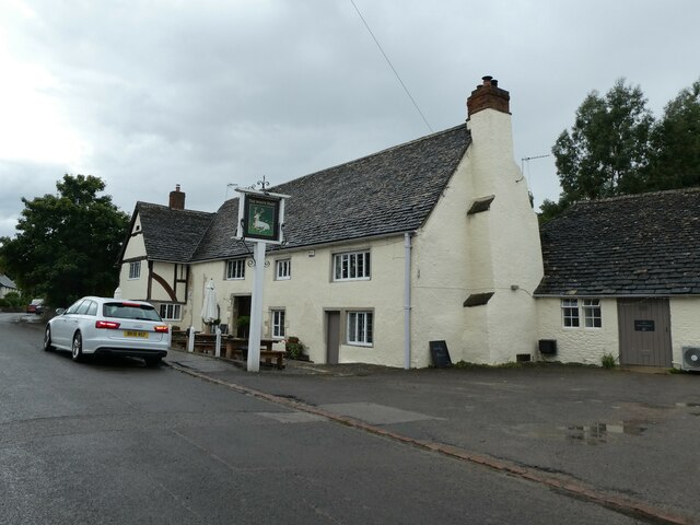
51.68601,-1.38865 31/07/2021 Basher Eyre CC BY-SA 2.0 -1 kms (N)
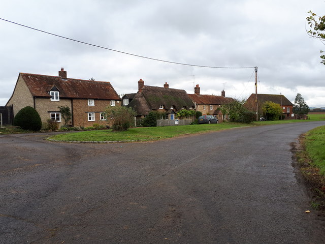
51.6835,-1.39057 01/11/2019 Vieve Forward CC BY-SA 2.0 -1 kms (N)
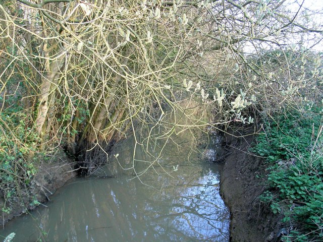
51.72382,-1.45329 07/04/2007 David Luther Thomas CC BY-SA 2.0 -1 kms (N)
51.72409,-1.45372 09/11/2019 David Howard CC BY-SA 2.0 -1 kms (N)
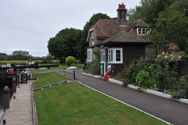
51.71625,-1.37739 28/05/2011 Philip Halling CC BY-SA 2.0 -1 kms (N)
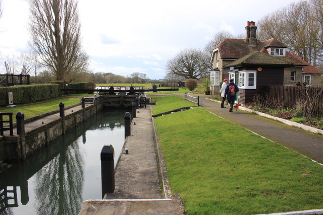
51.71607,-1.37725 27/02/2017 Nigel Mykura CC BY-SA 2.0 -1 kms (N)
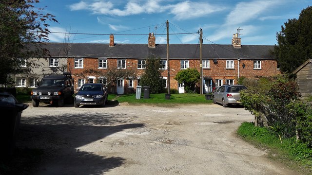
51.74895,-1.40722 25/03/2017 Chris Brown CC BY-SA 2.0 -1 kms (N)
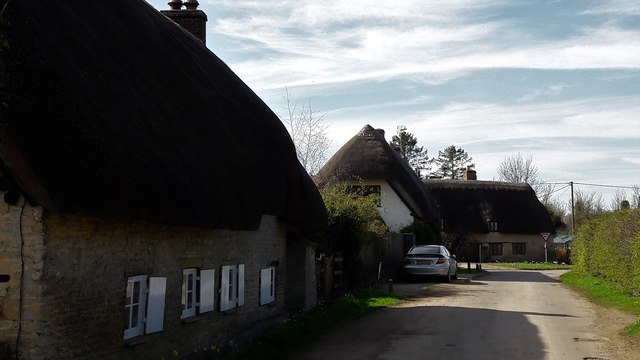
51.74639,-1.39928 25/03/2017 Chris Brown CC BY-SA 2.0 -1 kms (N)
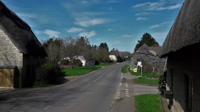
51.74757,-1.39985 25/03/2017 Chris Brown CC BY-SA 2.0 -1 kms (N)
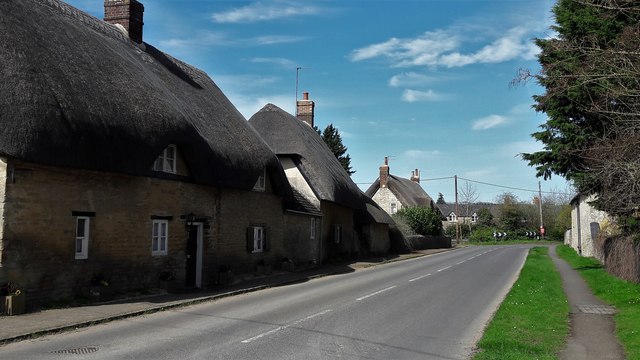
51.74784,-1.39984 25/03/2017 Chris Brown CC BY-SA 2.0 -1 kms (N)
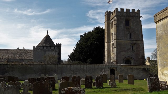
51.74738,-1.39869 25/03/2017 Chris Brown CC BY-SA 2.0 -1 kms (N)
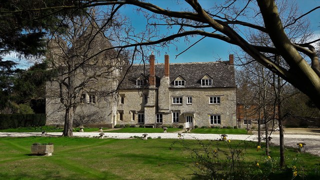
51.74747,-1.39883 25/03/2017 Chris Brown CC BY-SA 2.0 -1 kms (N)
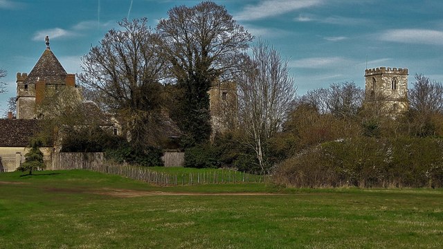
51.74783,-1.39839 25/03/2017 Chris Brown CC BY-SA 2.0 -1 kms (N)
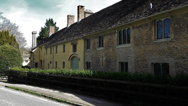
51.74819,-1.39911 25/03/2017 Chris Brown CC BY-SA 2.0 -1 kms (N)
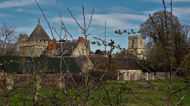
51.74783,-1.39825 25/03/2017 Chris Brown CC BY-SA 2.0 -1 kms (N)
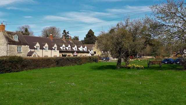
51.74937,-1.40142 25/03/2017 Chris Brown CC BY-SA 2.0 -1 kms (N)
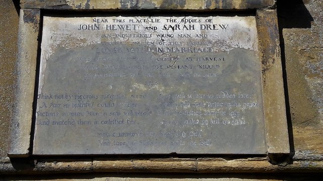
51.74792,-1.39781 25/03/2017 Chris Brown CC BY-SA 2.0 -1 kms (N)
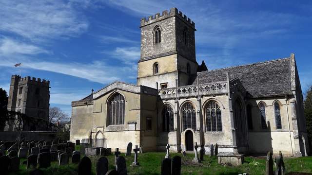
51.748,-1.39781 25/03/2017 Chris Brown CC BY-SA 2.0 -1 kms (N)
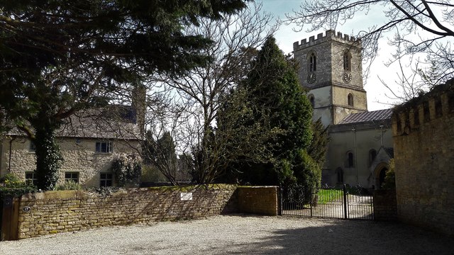
51.748,-1.39781 25/03/2017 Chris Brown CC BY-SA 2.0 -1 kms (N)
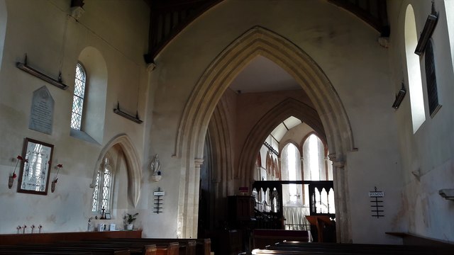
51.748,-1.39767 25/03/2017 Chris Brown CC BY-SA 2.0 -1 kms (N)
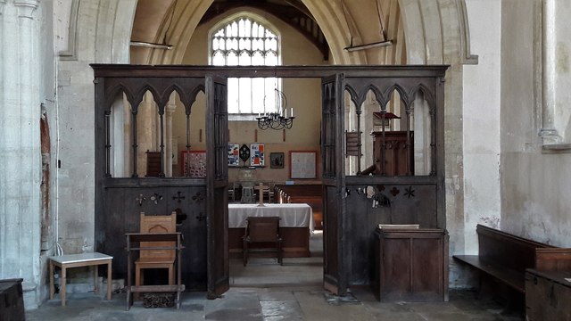
51.748,-1.39767 25/03/2017 Chris Brown CC BY-SA 2.0 -1 kms (N)
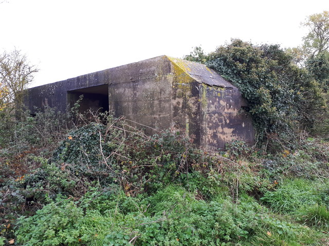
51.67943,-1.38599 01/11/2019 Vieve Forward CC BY-SA 2.0 -1 kms (N)
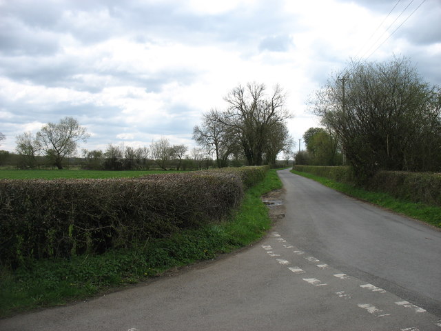
51.73361,-1.37817 24/04/2016 David Purchase CC BY-SA 2.0 -1 kms (N)
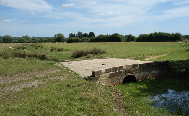
51.74691,-1.37755 22/06/2020 Des Blenkinsopp CC BY-SA 2.0 -1 kms (N)
