-
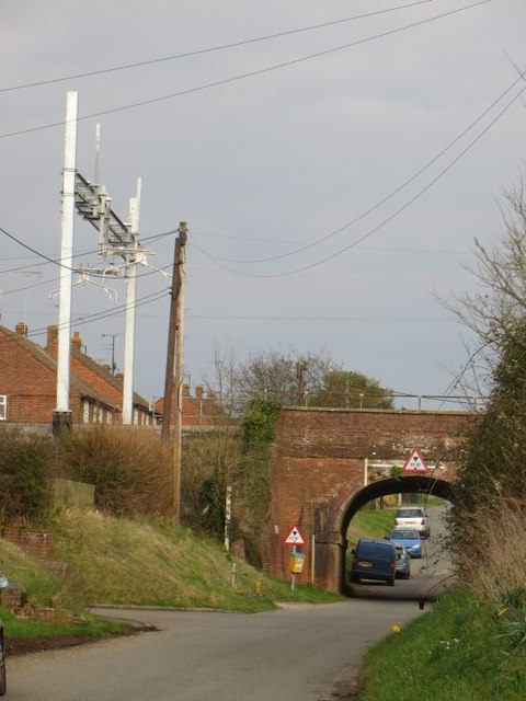
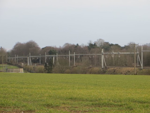
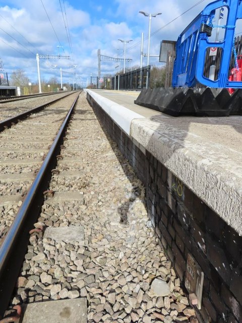
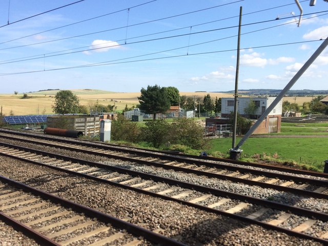
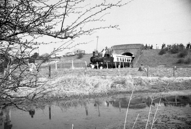
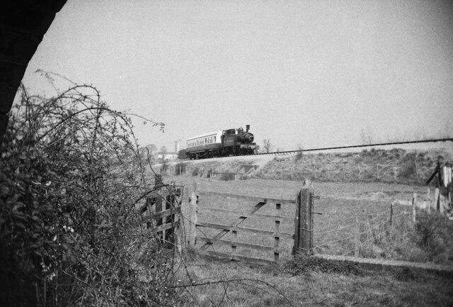
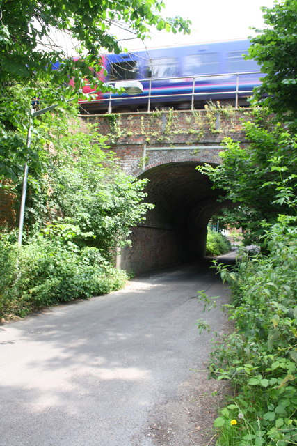
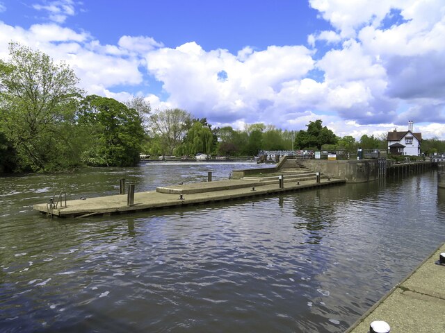
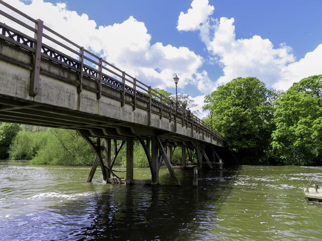
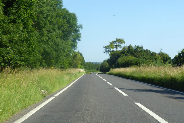
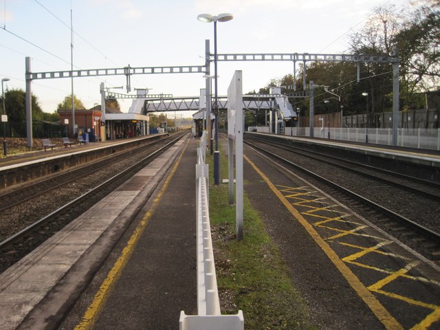
Bridge, Railway Bridge 51.55834, -1.14266 0.25 kms (SSW) South Oxfordshire Oxfordshire South East England United Kingdom
-
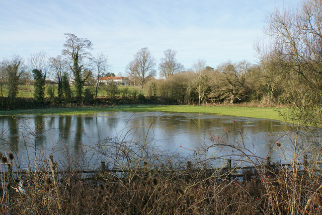
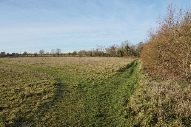
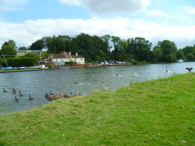
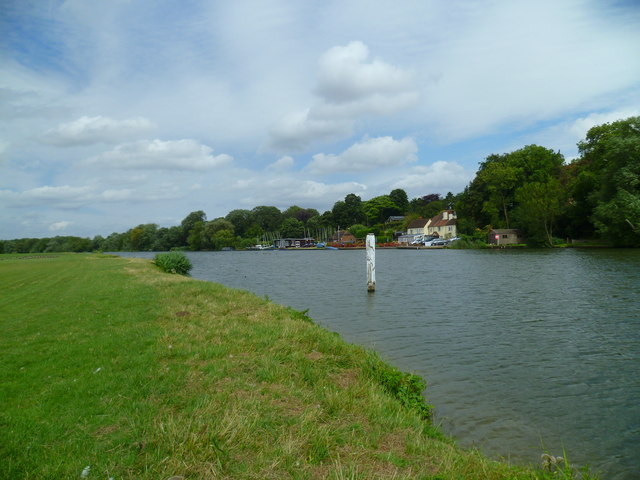
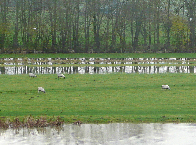
Marsh, Nature Reserve 51.56475, -1.13619 0.6 kms (NE) South Oxfordshire Oxfordshire South East England United Kingdom
-
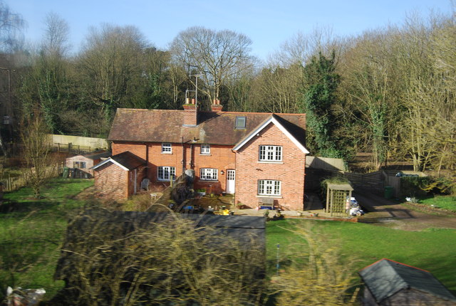
Hamlet 51.56216, -1.13335 0.59 kms (ENE) South Oxfordshire Oxfordshire South East England United Kingdom
-
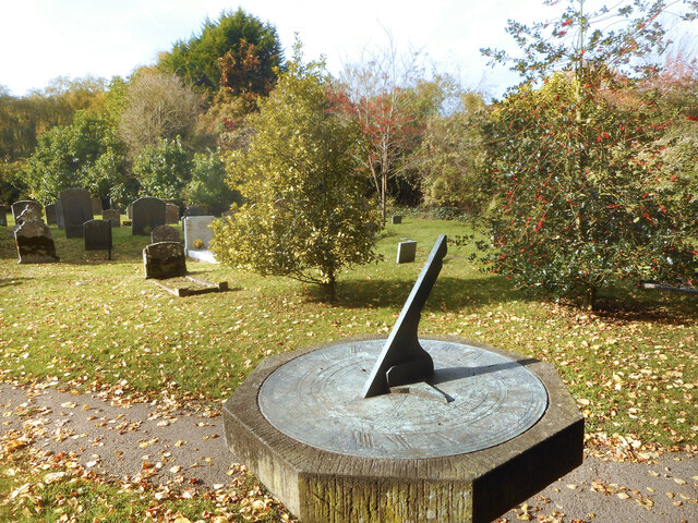
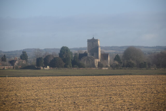
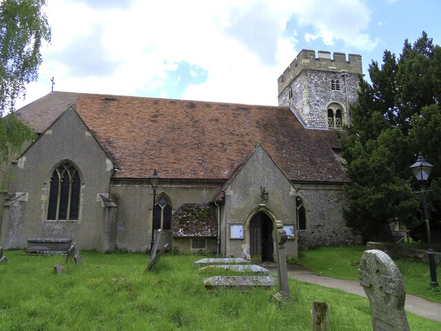
Place of Worship 51.55302, -1.14812 0.95 kms (SSW) South Oxfordshire Oxfordshire South East England United Kingdom
-
Administrative, Civil Parish, Village 51.55194, -1.14966 1.11 kms (SSW) South Oxfordshire Oxfordshire South East England United Kingdom
-
Administrative, Civil Parish, Village 51.54724, -1.13577 1.52 kms (SSE) South Oxfordshire Oxfordshire South East England United Kingdom
-
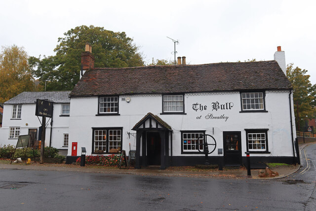
Pub 51.5468, -1.13689 1.55 kms (SSE)
-
Administrative, Civil Parish, Village 51.57516, -1.15352 1.83 kms (NNW) South Oxfordshire Oxfordshire South East England United Kingdom
-
Sports Centre 51.57823, -1.12752 2.2 kms (NNE) South Oxfordshire Oxfordshire South East England United Kingdom
-
Village 51.57233, -1.12147 1.91 kms (NE) South Oxfordshire Oxfordshire South East England United Kingdom
-
Restaurant 51.53692, -1.13391 2.67 kms (SSE) Goring-on-Thames South Oxfordshire Oxfordshire South East England United Kingdom
-
Park 51.58348, -1.12323 2.85 kms (NNE) Crowmarsh South Oxfordshire Oxfordshire South East England United Kingdom
-
Bridge, Primary, Road Bridge 51.58853, -1.12274 3.38 kms (NNE) Crowmarsh South Oxfordshire Oxfordshire South East England United Kingdom
-
Pub 51.52349, -1.14378 4.11 kms (S)
-
Bridge, Road Bridge 51.52293, -1.14237 4.17 kms (S)
-
Hamlet 51.5923, -1.11961 3.85 kms (NNE) Crowmarsh South Oxfordshire Oxfordshire South East England United Kingdom
-
Sports Centre, University 51.59497, -1.12299 4.04 kms (NNE) Winterbrook South Oxfordshire Oxfordshire South East England United Kingdom
-
Administrative, Civil Parish, Village 51.52193, -1.15027 4.33 kms (S) West Berkshire South East England United Kingdom
-
Administrative, Civil Parish, Market Town 51.59823, -1.12522 4.35 kms (NNE) South Oxfordshire Oxfordshire South East England United Kingdom
-
Place of Worship 51.5973, -1.12293 4.29 kms (NNE) Winterbrook South Oxfordshire Oxfordshire South East England United Kingdom
-
Pub 51.59826, -1.12477 4.36 kms (NNE)
-
Rowing Club, Sports Centre 51.59846, -1.12219 4.43 kms (NNE) Winterbrook South Oxfordshire Oxfordshire South East England United Kingdom
-
Administrative, Civil Parish, Village 51.5216, -1.12187 4.53 kms (SSE) Goring-on-Thames South Oxfordshire Oxfordshire South East England United Kingdom
-
Civil Parish, Village 51.59834, -1.11276 4.65 kms (NNE) South Oxfordshire Oxfordshire South East England United Kingdom
-
Pub 51.59838, -1.11153 4.7 kms (NNE)
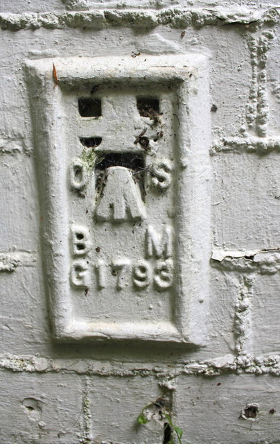
51.55967,-1.14324 10/10/2020 Ian S CC BY-SA 2.0 0.15 kms (SW)
51.55868,-1.14326 10/10/2020 Ian S CC BY-SA 2.0 0.23 kms (SSW)
51.55878,-1.14369 10/10/2020 Ian S CC BY-SA 2.0 0.24 kms (SW)
51.5586,-1.14355 07/04/2019 Bill Nicholls CC BY-SA 2.0 0.25 kms (SW)
51.5586,-1.1437 07/04/2019 Bill Nicholls CC BY-SA 2.0 0.26 kms (SW)
51.56342,-1.13928 10/10/2020 Ian S CC BY-SA 2.0 0.36 kms (NNE)
51.56014,-1.14598 23/03/2019 N Chadwick CC BY-SA 2.0 0.32 kms (W)
51.56413,-1.13753 10/10/2020 Ian S CC BY-SA 2.0 0.49 kms (NNE)
51.55746,-1.14747 10/10/2020 Ian S CC BY-SA 2.0 0.53 kms (SW)
51.56637,-1.13663 22/02/2019 Bill Nicholls CC BY-SA 2.0 0.74 kms (NNE)
51.566,-1.13606 23/02/2020 Bill Nicholls CC BY-SA 2.0 0.72 kms (NNE)
51.56655,-1.13662 22/02/2019 Bill Nicholls CC BY-SA 2.0 0.75 kms (NNE)
51.56609,-1.13605 22/02/2019 Bill Nicholls CC BY-SA 2.0 0.73 kms (NNE)
51.56113,-1.13355 22/04/2020 Des Blenkinsopp CC BY-SA 2.0 0.55 kms (E)
51.5608,-1.14943 07/04/2019 Bill Nicholls CC BY-SA 2.0 0.55 kms (W)
51.56089,-1.14942 07/04/2019 Bill Nicholls CC BY-SA 2.0 0.55 kms (W)
51.56107,-1.14942 07/04/2019 Bill Nicholls CC BY-SA 2.0 0.56 kms (W)
51.56804,-1.14424 10/10/2020 Ian S CC BY-SA 2.0 0.86 kms (NNW)
51.5608,-1.14957 07/04/2019 Bill Nicholls CC BY-SA 2.0 0.56 kms (W)
51.56089,-1.14957 07/04/2019 Bill Nicholls CC BY-SA 2.0 0.56 kms (W)
51.56518,-1.13448 27/02/2020 Bill Nicholls CC BY-SA 2.0 0.71 kms (NE)
51.56158,-1.13311 26/02/2021 Des Blenkinsopp CC BY-SA 2.0 0.59 kms (ENE)
51.56509,-1.13434 27/02/2020 Bill Nicholls CC BY-SA 2.0 0.71 kms (NE)
51.565,-1.1342 27/02/2020 Bill Nicholls CC BY-SA 2.0 0.71 kms (NE)
51.56509,-1.1342 10/10/2020 Ian S CC BY-SA 2.0 0.72 kms (NE)
51.56491,-1.13406 18/09/2021 Des Blenkinsopp CC BY-SA 2.0 0.71 kms (NE)
51.56491,-1.13406 23/02/2020 Bill Nicholls CC BY-SA 2.0 0.71 kms (NE)
51.56482,-1.13391 18/09/2021 Des Blenkinsopp CC BY-SA 2.0 0.71 kms (NE)
51.55747,-1.14963 10/10/2020 Ian S CC BY-SA 2.0 0.66 kms (WSW)

51.55693,-1.14979 10/10/2020 Ian S CC BY-SA 2.0 0.7 kms (SW)
51.56184,-1.13238 26/02/2021 Des Blenkinsopp CC BY-SA 2.0 0.64 kms (ENE)
51.55585,-1.14966 10/10/2020 Ian S CC BY-SA 2.0 0.77 kms (SW)
51.56905,-1.1461 23/06/2019 Robin Webster CC BY-SA 2.0 1.01 kms (NNW)
51.56255,-1.13136 22/04/2020 Des Blenkinsopp CC BY-SA 2.0 0.73 kms (ENE)
51.56625,-1.13216 10/10/2020 Ian S CC BY-SA 2.0 0.91 kms (NE)
51.55379,-1.15028 10/10/2020 Ian S CC BY-SA 2.0 0.96 kms (SW)
51.54991,-1.13665 31/05/2018 Bob Walters CC BY-SA 2.0 1.22 kms (SSE)
51.56889,-1.14942 07/04/2019 Bill Nicholls CC BY-SA 2.0 1.09 kms (NNW)

51.56606,-1.13086 18/09/2021 Des Blenkinsopp CC BY-SA 2.0 0.96 kms (NE)
51.54929,-1.13709 12/08/2019 Alan Hughes CC BY-SA 2.0 1.28 kms (SSE)
51.55044,-1.13433 25/08/2017 Nigel Thompson CC BY-SA 2.0 1.22 kms (SSE)
51.55154,-1.15018 23/06/2019 Robin Webster CC BY-SA 2.0 1.16 kms (SSW)
51.551,-1.14961 10/10/2020 Ian S CC BY-SA 2.0 1.19 kms (SSW)
51.551,-1.14975 10/10/2020 Ian S CC BY-SA 2.0 1.2 kms (SSW)
51.54863,-1.14576 10/10/2020 Ian S CC BY-SA 2.0 1.35 kms (SSW)
51.56695,-1.13056 10/10/2020 Ian S CC BY-SA 2.0 1.04 kms (NE)
51.54827,-1.14548 10/10/2020 Ian S CC BY-SA 2.0 1.38 kms (S)
51.55037,-1.14948 29/03/2019 Stefan Czapski CC BY-SA 2.0 1.25 kms (SSW)
51.55087,-1.13216 23/12/2019 N Chadwick CC BY-SA 2.0 1.25 kms (SSE)
51.55015,-1.13232 08/05/2016 N Chadwick CC BY-SA 2.0 1.31 kms (SSE)
51.54793,-1.14765 10/10/2020 Ian S CC BY-SA 2.0 1.46 kms (SSW)
51.54655,-1.14436 10/10/2020 Ian S CC BY-SA 2.0 1.56 kms (S)

51.54765,-1.13511 26/02/2016 Bill Nicholls CC BY-SA 2.0 1.49 kms (SSE)
51.56413,-1.12614 26/02/2021 Des Blenkinsopp CC BY-SA 2.0 1.13 kms (ENE)
51.5462,-1.13355 27/10/2018 David Howard CC BY-SA 2.0 1.68 kms (SSE)
51.5446,-1.13531 04/01/2019 Derek Harper CC BY-SA 2.0 1.81 kms (SSE)
51.54495,-1.13444 26/02/2016 Bill Nicholls CC BY-SA 2.0 1.79 kms (SSE)
51.5718,-1.15427 24/04/2020 Bill Nicholls CC BY-SA 2.0 1.54 kms (NW)
51.54361,-1.13504 23/03/2019 N Chadwick CC BY-SA 2.0 1.93 kms (SSE)
51.54556,-1.13111 27/10/2018 David Howard CC BY-SA 2.0 1.81 kms (SSE)
51.57485,-1.15306 04/07/2020 Bill Nicholls CC BY-SA 2.0 1.79 kms (NNW)

51.57503,-1.15291 04/07/2020 Bill Nicholls CC BY-SA 2.0 1.8 kms (NNW)
51.57351,-1.15467 16/04/2020 Bill Nicholls CC BY-SA 2.0 1.71 kms (NNW)

51.57351,-1.15482 16/04/2020 Bill Nicholls CC BY-SA 2.0 1.72 kms (NNW)
51.57351,-1.15482 16/04/2020 Bill Nicholls CC BY-SA 2.0 1.72 kms (NNW)
51.57351,-1.15482 16/04/2020 Bill Nicholls CC BY-SA 2.0 1.72 kms (NNW)
51.57307,-1.15555 20/01/2019 Bill Nicholls CC BY-SA 2.0 1.71 kms (NW)
51.54324,-1.1336 26/02/2016 Bill Nicholls CC BY-SA 2.0 1.99 kms (SSE)
51.54439,-1.13127 08/05/2016 N Chadwick CC BY-SA 2.0 1.92 kms (SSE)
51.54439,-1.13113 23/04/2017 N Chadwick CC BY-SA 2.0 1.92 kms (SSE)
51.577,-1.15143 28/03/2019 Bill Nicholls CC BY-SA 2.0 1.96 kms (NNW)
51.57594,-1.12937 25/12/2020 Bill Boaden CC BY-SA 2.0 1.91 kms (NNE)
51.54243,-1.13347 26/02/2016 Bill Nicholls CC BY-SA 2.0 2.08 kms (SSE)
51.57031,-1.15877 26/08/2021 Nigel Thompson CC BY-SA 2.0 1.62 kms (NW)
51.54304,-1.13173 08/05/2016 N Chadwick CC BY-SA 2.0 2.05 kms (SSE)
51.57067,-1.15934 10/03/2019 Bill Nicholls CC BY-SA 2.0 1.68 kms (NW)
51.54108,-1.13393 22/02/2014 N Chadwick CC BY-SA 2.0 2.22 kms (SSE)
51.5781,-1.12991 25/12/2020 Bill Boaden CC BY-SA 2.0 2.12 kms (NNE)
51.54089,-1.13264 25/08/2017 Nigel Thompson CC BY-SA 2.0 2.26 kms (SSE)
51.54107,-1.1322 23/04/2017 N Chadwick CC BY-SA 2.0 2.25 kms (SSE)
51.57139,-1.12282 26/02/2021 Des Blenkinsopp CC BY-SA 2.0 1.77 kms (NE)
51.57139,-1.12282 19/10/2020 Des Blenkinsopp CC BY-SA 2.0 1.77 kms (NE)
51.54222,-1.12987 11/06/2014 Roger Templeman CC BY-SA 2.0 2.18 kms (SSE)
51.57637,-1.12677 25/12/2020 Bill Boaden CC BY-SA 2.0 2.04 kms (NNE)
51.57157,-1.12282 19/10/2020 Des Blenkinsopp CC BY-SA 2.0 1.78 kms (NE)
51.54062,-1.13221 22/02/2014 N Chadwick CC BY-SA 2.0 2.3 kms (SSE)
51.57681,-1.12647 10/10/2020 Ian S CC BY-SA 2.0 2.09 kms (NNE)
51.57817,-1.12746 10/10/2020 Ian S CC BY-SA 2.0 2.19 kms (NNE)
51.57808,-1.12717 25/12/2020 Bill Boaden CC BY-SA 2.0 2.19 kms (NNE)
51.5721,-1.12166 19/10/2020 Des Blenkinsopp CC BY-SA 2.0 1.88 kms (NE)
51.57789,-1.12631 10/10/2020 Ian S CC BY-SA 2.0 2.2 kms (NNE)
51.57829,-1.15646 15/04/1968 Martin Tester CC BY-SA 2.0 2.24 kms (NNW)
51.57785,-1.15705 15/04/1968 Martin Tester CC BY-SA 2.0 2.21 kms (NNW)
51.57816,-1.12616 25/12/2020 Bill Boaden CC BY-SA 2.0 2.23 kms (NNE)
51.57843,-1.12615 10/10/2020 Ian S CC BY-SA 2.0 2.26 kms (NNE)
51.57365,-1.16145 15/04/1968 Martin Tester CC BY-SA 2.0 2.02 kms (NW)
51.53731,-1.13458 02/08/2013 Shazz CC BY-SA 2.0 2.62 kms (S)
51.53775,-1.13299 19/04/2015 David Purchase CC BY-SA 2.0 2.59 kms (SSE)
51.57996,-1.12684 25/12/2020 Bill Boaden CC BY-SA 2.0 2.39 kms (NNE)
51.5826,-1.13127 26/12/2020 Bill Boaden CC BY-SA 2.0 2.56 kms (NNE)
51.53678,-1.13517 10/10/2020 Ian S CC BY-SA 2.0 2.67 kms (S)
51.57978,-1.12613 26/12/2020 Bill Boaden CC BY-SA 2.0 2.39 kms (NNE)
51.58296,-1.13083 20/09/2001 A Rosevear CC BY-SA 2.0 2.61 kms (NNE)
51.53668,-1.13416 02/08/2013 Shazz CC BY-SA 2.0 2.69 kms (S)
51.57876,-1.15905 23/12/2019 N Chadwick CC BY-SA 2.0 2.37 kms (NNW)
51.58212,-1.12651 10/10/2020 Ian S CC BY-SA 2.0 2.62 kms (NNE)
51.537,-1.12925 24/06/2014 Roger Templeman CC BY-SA 2.0 2.74 kms (SSE)
51.537,-1.12911 27/10/2018 David Howard CC BY-SA 2.0 2.75 kms (SSE)
51.58539,-1.13121 26/12/2020 Bill Boaden CC BY-SA 2.0 2.86 kms (NNE)
51.53557,-1.13 24/06/2014 Roger Templeman CC BY-SA 2.0 2.88 kms (SSE)
51.53557,-1.13 24/06/2014 Roger Templeman CC BY-SA 2.0 2.88 kms (SSE)
51.58702,-1.13291 23/06/2019 Robin Webster CC BY-SA 2.0 3.01 kms (N)
51.58748,-1.13406 28/03/2019 Bill Nicholls CC BY-SA 2.0 3.05 kms (N)
51.53318,-1.13509 10/10/2020 Ian S CC BY-SA 2.0 3.07 kms (S)
51.53283,-1.1364 25/11/2012 Graham Horn CC BY-SA 2.0 3.09 kms (S)
51.58655,-1.13061 08/12/2020 Des Blenkinsopp CC BY-SA 2.0 3 kms (NNE)
51.58,-1.12035 04/10/2015 David Purchase CC BY-SA 2.0 2.62 kms (NNE)
51.58627,-1.12874 08/12/2020 Des Blenkinsopp CC BY-SA 2.0 3 kms (NNE)
51.53201,-1.13569 02/08/2013 Shazz CC BY-SA 2.0 3.19 kms (S)
51.5328,-1.13236 24/06/2014 Roger Templeman CC BY-SA 2.0 3.14 kms (SSE)
51.53166,-1.13613 13/05/2018 Dave Kelly CC BY-SA 2.0 3.22 kms (S)
51.53147,-1.13541 02/08/2013 Shazz CC BY-SA 2.0 3.25 kms (S)
51.53155,-1.13397 19/04/2015 David Purchase CC BY-SA 2.0 3.26 kms (S)
51.53038,-1.13327 25/08/2017 Nigel Thompson CC BY-SA 2.0 3.39 kms (S)
51.52912,-1.13401 24/06/2014 Roger Templeman CC BY-SA 2.0 3.52 kms (S)
51.52912,-1.13401 24/06/2014 Roger Templeman CC BY-SA 2.0 3.52 kms (S)
51.58777,-1.12424 26/12/2020 Bill Boaden CC BY-SA 2.0 3.26 kms (NNE)
51.58422,-1.1194 01/06/2013 Bill Nicholls CC BY-SA 2.0 3.05 kms (NNE)
51.58785,-1.12381 26/12/2020 Bill Boaden CC BY-SA 2.0 3.28 kms (NNE)
51.52902,-1.13272 24/06/2014 Roger Templeman CC BY-SA 2.0 3.55 kms (S)
51.5904,-1.12838 26/12/2020 Bill Boaden CC BY-SA 2.0 3.45 kms (NNE)
51.52894,-1.13287 24/06/2014 Roger Templeman CC BY-SA 2.0 3.56 kms (S)
51.58214,-1.1167 04/10/2015 David Purchase CC BY-SA 2.0 2.95 kms (NE)
51.5825,-1.11684 23/04/2020 Des Blenkinsopp CC BY-SA 2.0 2.98 kms (NE)
51.58621,-1.12023 12/02/2015 Roger Templeman CC BY-SA 2.0 3.22 kms (NNE)
51.58621,-1.12023 12/02/2015 Roger Templeman CC BY-SA 2.0 3.22 kms (NNE)
51.58666,-1.12051 04/10/2015 David Purchase CC BY-SA 2.0 3.25 kms (NNE)
51.57968,-1.11299 12/02/2015 Roger Templeman CC BY-SA 2.0 2.9 kms (NE)
51.57968,-1.11299 12/02/2015 Roger Templeman CC BY-SA 2.0 2.9 kms (NE)
51.57968,-1.11299 12/02/2015 Roger Templeman CC BY-SA 2.0 2.9 kms (NE)
51.59367,-1.13178 22/01/2021 Des Blenkinsopp CC BY-SA 2.0 3.75 kms (N)
51.58891,-1.12047 26/12/2020 Bill Boaden CC BY-SA 2.0 3.48 kms (NNE)
51.58936,-1.12046 26/12/2020 Bill Boaden CC BY-SA 2.0 3.52 kms (NNE)
51.59336,-1.12644 12/11/2020 Des Blenkinsopp CC BY-SA 2.0 3.8 kms (NNE)
51.52396,-1.14132 19/05/2021 Steve Daniels CC BY-SA 2.0 4.06 kms (S)
51.59025,-1.12015 26/02/2021 Des Blenkinsopp CC BY-SA 2.0 3.62 kms (NNE)
51.59399,-1.12657 02/10/2019 Luke Shaw CC BY-SA 2.0 3.87 kms (NNE)
51.52369,-1.14132 19/05/2021 Steve Daniels CC BY-SA 2.0 4.09 kms (S)
51.52567,-1.12889 04/10/2016 Des Blenkinsopp CC BY-SA 2.0 3.97 kms (SSE)
51.52333,-1.14133 19/05/2021 Steve Daniels CC BY-SA 2.0 4.13 kms (S)
51.52324,-1.14076 19/05/2021 Steve Daniels CC BY-SA 2.0 4.14 kms (S)
51.59389,-1.12499 10/02/2021 Des Blenkinsopp CC BY-SA 2.0 3.89 kms (NNE)
51.52315,-1.14148 19/05/2021 Steve Daniels CC BY-SA 2.0 4.15 kms (S)
51.52297,-1.14148 19/05/2021 Steve Daniels CC BY-SA 2.0 4.17 kms (S)
51.5897,-1.11771 12/11/2020 Des Blenkinsopp CC BY-SA 2.0 3.64 kms (NNE)
51.59042,-1.11856 26/02/2021 Des Blenkinsopp CC BY-SA 2.0 3.69 kms (NNE)
51.58245,-1.11078 01/06/2013 Bill Nicholls CC BY-SA 2.0 3.24 kms (NE)
51.59087,-1.11898 23/04/2020 Des Blenkinsopp CC BY-SA 2.0 3.72 kms (NNE)
51.52269,-1.13918 19/05/2021 Steve Daniels CC BY-SA 2.0 4.2 kms (S)
51.58969,-1.11727 12/11/2020 Des Blenkinsopp CC BY-SA 2.0 3.65 kms (NNE)
51.59369,-1.12312 10/10/2020 Ian S CC BY-SA 2.0 3.91 kms (NNE)
51.52252,-1.14048 19/05/2021 Steve Daniels CC BY-SA 2.0 4.22 kms (S)
51.52244,-1.14178 19/05/2021 Steve Daniels CC BY-SA 2.0 4.23 kms (S)
51.52362,-1.13181 04/10/2016 Des Blenkinsopp CC BY-SA 2.0 4.15 kms (S)
51.58217,-1.10977 18/07/2021 Robin Webster CC BY-SA 2.0 3.26 kms (NE)
51.52206,-1.14006 19/05/2021 Steve Daniels CC BY-SA 2.0 4.27 kms (S)
51.59468,-1.12324 10/02/2021 Des Blenkinsopp CC BY-SA 2.0 4.01 kms (NNE)
51.59477,-1.12324 17/01/2021 Des Blenkinsopp CC BY-SA 2.0 4.02 kms (NNE)
51.59882,-1.135 10/12/2020 Bill Nicholls CC BY-SA 2.0 4.29 kms (N)
51.59486,-1.1228 10/10/2020 Ian S CC BY-SA 2.0 4.04 kms (NNE)
51.52219,-1.13299 27/10/2018 David Howard CC BY-SA 2.0 4.3 kms (S)
51.5215,-1.13661 24/05/1998 norman griffin CC BY-SA 2.0 4.35 kms (S)
51.59495,-1.12251 10/10/2020 Ian S CC BY-SA 2.0 4.05 kms (NNE)
51.59917,-1.13442 07/09/2021 Des Blenkinsopp CC BY-SA 2.0 4.33 kms (N)
51.59504,-1.12266 10/10/2020 Ian S CC BY-SA 2.0 4.06 kms (NNE)
51.52141,-1.13661 26/03/2017 Chris Wood CC BY-SA 2.0 4.36 kms (S)
51.52193,-1.13343 26/03/2017 Chris Wood CC BY-SA 2.0 4.32 kms (S)
51.52333,-1.12822 27/10/2018 David Howard CC BY-SA 2.0 4.23 kms (SSE)
51.59494,-1.12223 22/03/2021 Des Blenkinsopp CC BY-SA 2.0 4.06 kms (NNE)
51.59668,-1.12522 28/07/2021 Bill Nicholls CC BY-SA 2.0 4.18 kms (NNE)
51.58668,-1.11156 12/02/2015 Roger Templeman CC BY-SA 2.0 3.57 kms (NE)
51.58686,-1.11141 12/02/2015 Roger Templeman CC BY-SA 2.0 3.59 kms (NE)
51.58686,-1.11141 12/02/2015 Roger Templeman CC BY-SA 2.0 3.59 kms (NE)
51.59924,-1.13138 05/05/2021 Des Blenkinsopp CC BY-SA 2.0 4.37 kms (N)
51.59603,-1.12249 10/10/2020 Ian S CC BY-SA 2.0 4.17 kms (NNE)
51.58749,-1.11154 26/10/2019 David Howard CC BY-SA 2.0 3.65 kms (NE)
51.52093,-1.13302 05/11/2016 Nigel Thompson CC BY-SA 2.0 4.43 kms (S)
51.59947,-1.12661 15/01/2021 Des Blenkinsopp CC BY-SA 2.0 4.46 kms (NNE)
51.59328,-1.11562 26/12/2020 Bill Boaden CC BY-SA 2.0 4.06 kms (NNE)
51.59919,-1.12445 19/03/2021 Bill Nicholls CC BY-SA 2.0 4.46 kms (NNE)
51.59472,-1.1166 26/12/2020 Bill Boaden CC BY-SA 2.0 4.18 kms (NNE)
51.52425,-1.1194 12/03/2011 Bill Nicholls CC BY-SA 2.0 4.31 kms (SSE)
51.52371,-1.11913 12/03/2011 Bill Nicholls CC BY-SA 2.0 4.37 kms (SSE)
51.59344,-1.11374 07/09/2021 Des Blenkinsopp CC BY-SA 2.0 4.14 kms (NNE)
51.52362,-1.11884 09/08/2015 David Howard CC BY-SA 2.0 4.39 kms (SSE)
51.52388,-1.11826 12/03/2011 Bill Nicholls CC BY-SA 2.0 4.37 kms (SSE)
51.52361,-1.11855 12/03/2011 Bill Nicholls CC BY-SA 2.0 4.39 kms (SSE)
51.52361,-1.11841 12/03/2011 Bill Nicholls CC BY-SA 2.0 4.4 kms (SSE)
51.52379,-1.11812 12/03/2011 Bill Nicholls CC BY-SA 2.0 4.39 kms (SSE)
51.5237,-1.11797 12/03/2011 Bill Nicholls CC BY-SA 2.0 4.4 kms (SSE)
51.58619,-1.10565 04/04/2011 Roger Templeman CC BY-SA 2.0 3.78 kms (NE)
51.52395,-1.11595 08/04/2012 Stuart Logan CC BY-SA 2.0 4.43 kms (SSE)
51.58419,-1.10338 08/08/2012 Des Blenkinsopp CC BY-SA 2.0 3.73 kms (NE)
51.58301,-1.10182 08/08/2012 Des Blenkinsopp CC BY-SA 2.0 3.71 kms (NE)
51.59159,-1.10713 18/07/2021 Robin Webster CC BY-SA 2.0 4.2 kms (NE)
51.59168,-1.10713 29/05/2016 David Howard CC BY-SA 2.0 4.2 kms (NE)
51.59241,-1.10769 17/01/2021 Des Blenkinsopp CC BY-SA 2.0 4.25 kms (NNE)
51.58571,-1.10205 02/03/2021 Des Blenkinsopp CC BY-SA 2.0 3.91 kms (NE)
51.52364,-1.11019 01/12/2020 Shaun Ferguson CC BY-SA 2.0 4.63 kms (SSE)