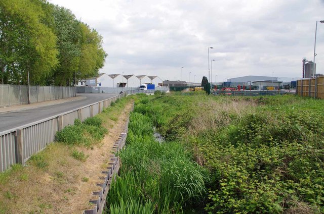
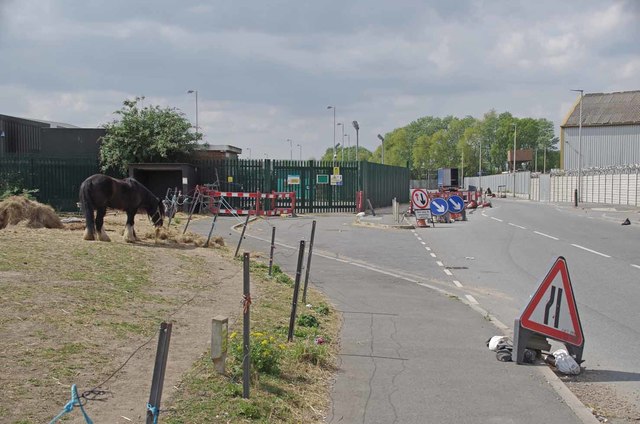
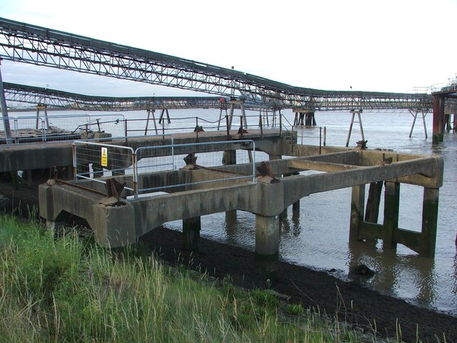
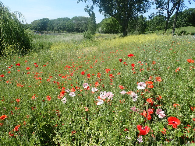
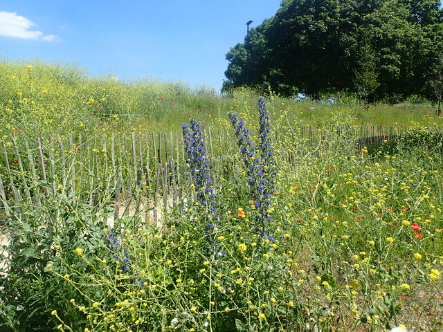
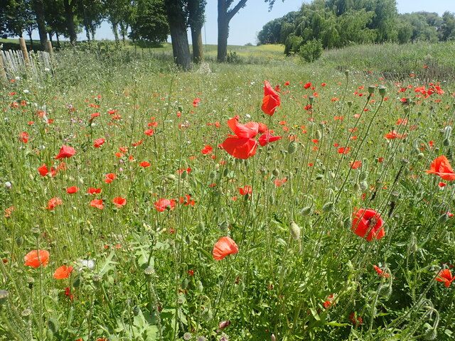
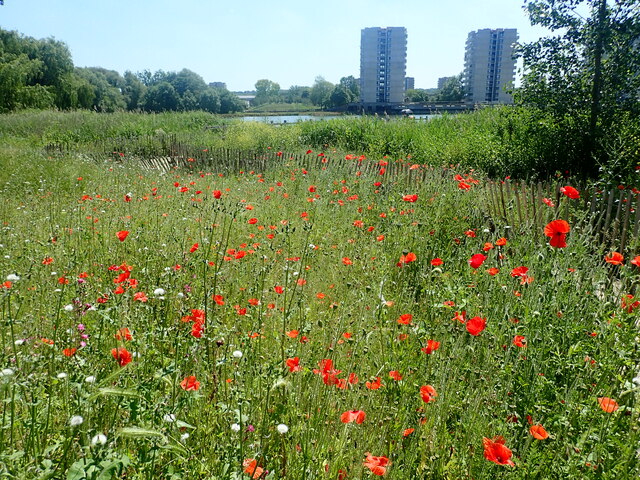
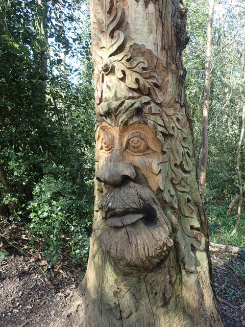
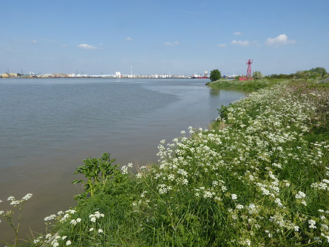
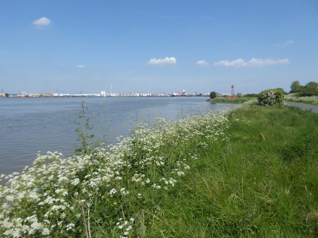
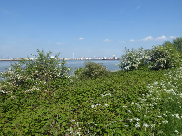
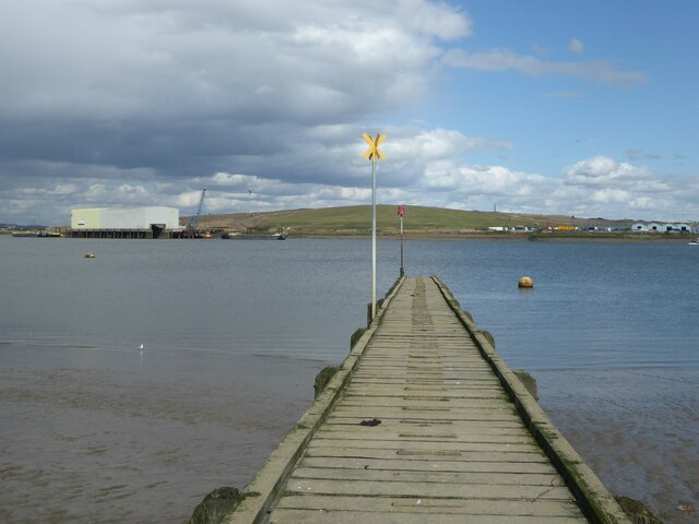
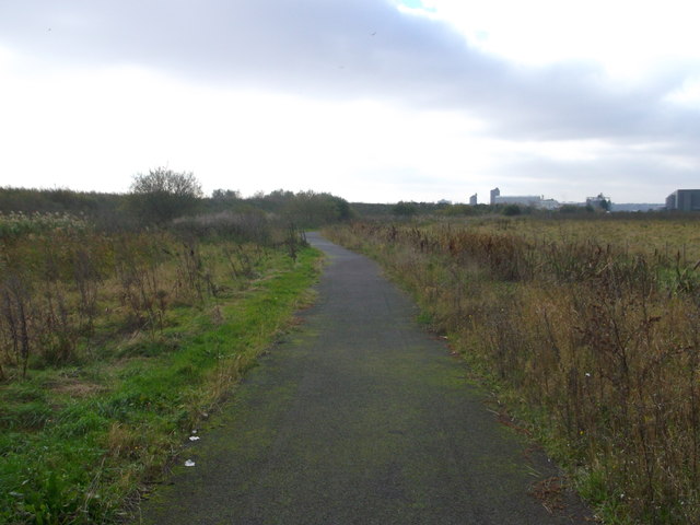
Crossness Nature Reserve, Eastern Way, Belvedere, London Borough of Bexley, London, Greater London, England, DA18 4AH, United Kingdom
-
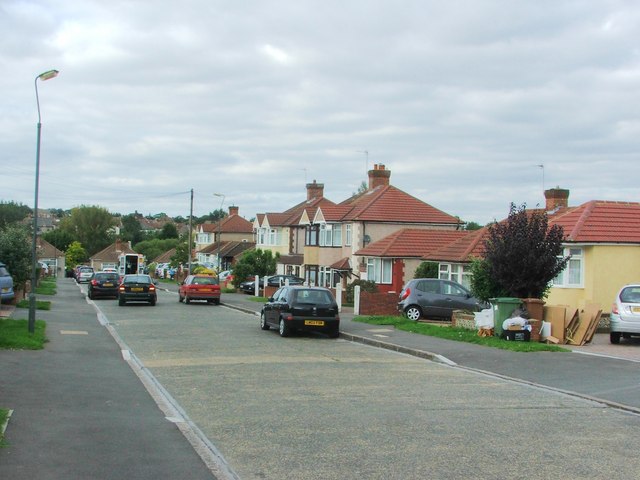
Locality 51.51118, 0.16204 1.27 kms (NE) London Borough of Havering London Greater London United Kingdom
-
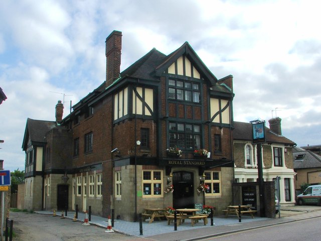
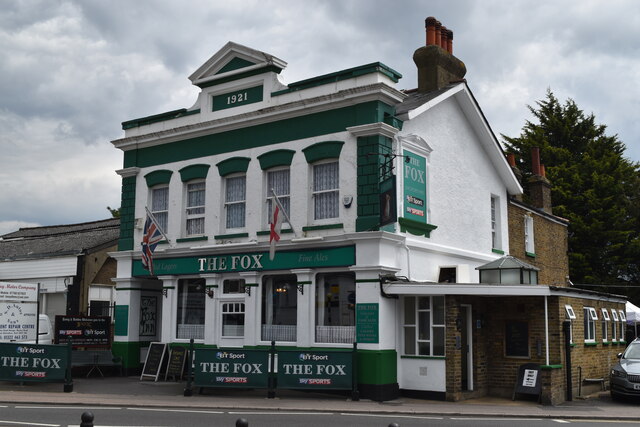
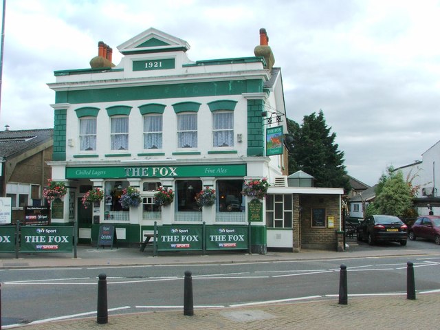
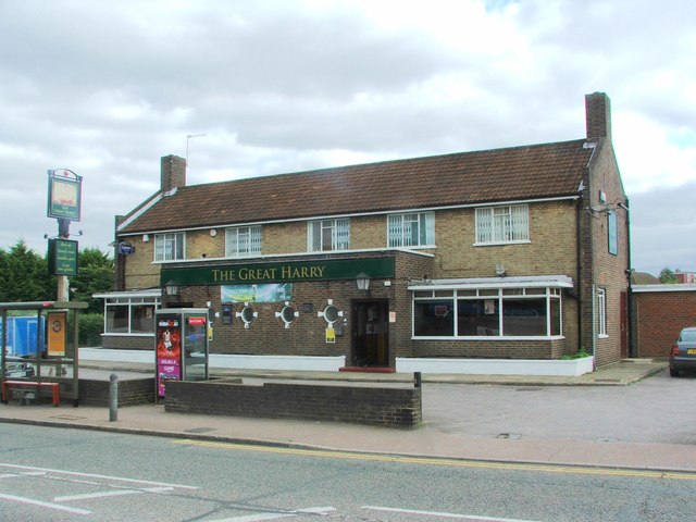
Pub 51.48896, 0.14282 1.56 kms (SSW)
-
Pub 51.48415, 0.14302 2.06 kms (SSW)
-
Pub 51.48366, 0.14335 2.1 kms (SSW)
-
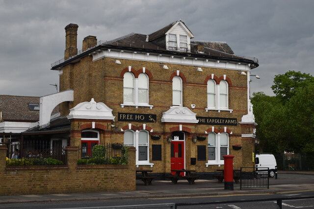
Pub 51.48245, 0.14626 2.19 kms (S)
-
Cape 51.51339, 0.12867 2.02 kms (NW) London Borough of Bexley London Greater London United Kingdom
-
Pub 51.47438, 0.15746 3.09 kms (S)
-
Pub 51.49565, 0.12166 2.17 kms (WSW)
-
Pub 51.47207, 0.16011 3.37 kms (S)
-
Pub 51.48202, 0.17967 2.96 kms (SE)
-
Pub 51.48127, 0.18135 3.1 kms (SE)
-
Pub 51.48099, 0.18139 3.12 kms (SE)
-
Suburb 51.49893, 0.11485 2.55 kms (W) Thamesmead London Greater London United Kingdom
-
Pub 51.49775, 0.11486 2.57 kms (W) London Greater London United Kingdom
-
Lighthouse, Point 51.48799, 0.18784 2.96 kms (ESE) London Borough of Havering London Greater London United Kingdom
-
Pub 51.47349, 0.18151 3.79 kms (SE)
-
Pub 51.47847, 0.18617 3.55 kms (SE)
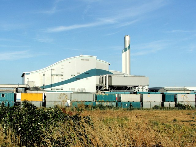
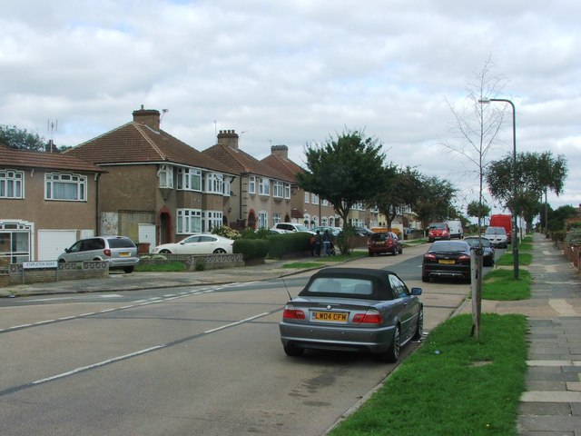
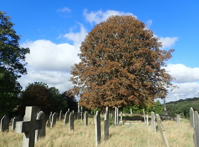
51.5057,0.14968 30/12/2017 Malc McDonald CC BY-SA 2.0 0.44 kms (NNW)
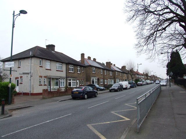
51.5062,0.15187 06/07/2015 Chris Whippet CC BY-SA 2.0 0.48 kms (N)
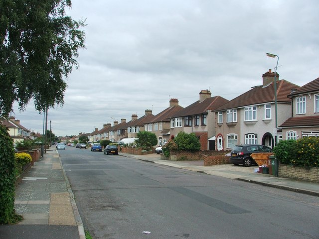
51.50571,0.14925 30/12/2017 Malc McDonald CC BY-SA 2.0 0.45 kms (NNW)
51.50628,0.15216 20/04/2015 Marathon CC BY-SA 2.0 0.49 kms (N)
51.50638,0.15173 25/04/2021 David Martin CC BY-SA 2.0 0.5 kms (N)
51.50615,0.14985 20/04/2015 Marathon CC BY-SA 2.0 0.48 kms (NNW)
51.50618,0.15288 06/07/2015 Chris Whippet CC BY-SA 2.0 0.49 kms (NNE)
51.50627,0.15274 06/07/2015 Chris Whippet CC BY-SA 2.0 0.49 kms (N)
51.50497,0.15484 25/04/2021 David Martin CC BY-SA 2.0 0.42 kms (NE)
51.50452,0.15525 08/01/2019 Marathon CC BY-SA 2.0 0.4 kms (NE)
51.50607,0.15374 06/07/2015 Chris Whippet CC BY-SA 2.0 0.49 kms (NNE)
51.50722,0.15523 19/04/2016 Marathon CC BY-SA 2.0 0.65 kms (NNE)
51.50564,0.1579 06/07/2015 Chris Whippet CC BY-SA 2.0 0.61 kms (NE)
51.5058,0.15877 25/04/2021 David Martin CC BY-SA 2.0 0.67 kms (NE)
51.50589,0.15877 25/04/2021 David Martin CC BY-SA 2.0 0.68 kms (NE)
51.49715,0.15994 04/05/2018 Marathon CC BY-SA 2.0 0.8 kms (SE)
51.49658,0.16136 30/12/2017 Malc McDonald CC BY-SA 2.0 0.91 kms (SE)
51.48855,0.1483 23/10/2016 Chris Heaton CC BY-SA 2.0 1.5 kms (S)
51.48903,0.15653 06/05/2020 Marathon CC BY-SA 2.0 1.48 kms (SSE)
51.48902,0.15668 06/05/2020 Marathon CC BY-SA 2.0 1.48 kms (SSE)
51.49653,0.16424 23/04/2017 Glyn Baker CC BY-SA 2.0 1.07 kms (ESE)
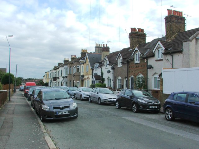
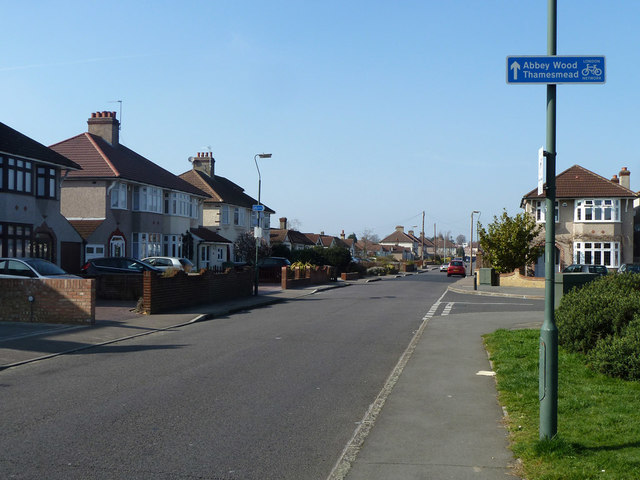
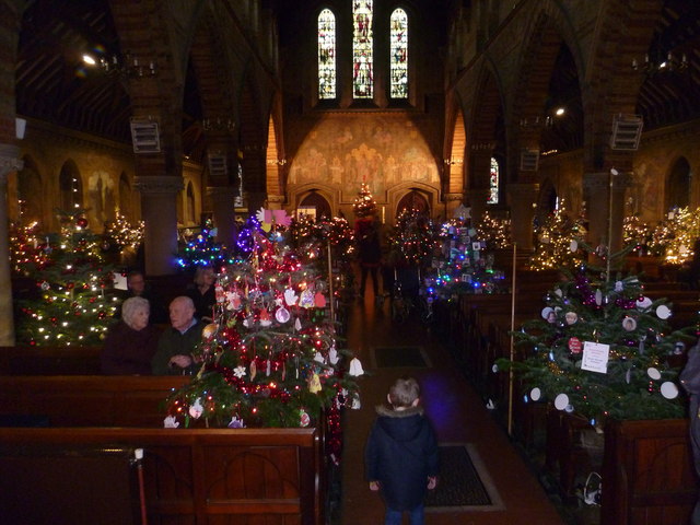
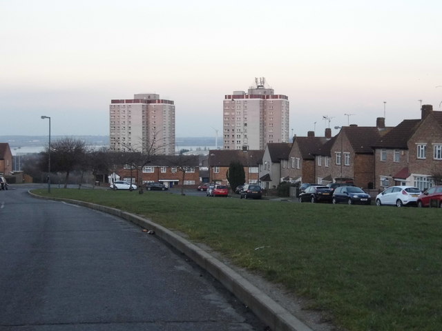
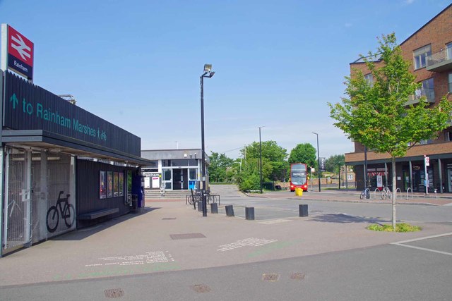
51.51168,0.16207 30/06/2011 Robin Webster CC BY-SA 2.0 1.31 kms (NE)
51.48793,0.14741 23/10/2016 Chris Heaton CC BY-SA 2.0 1.58 kms (S)
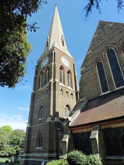
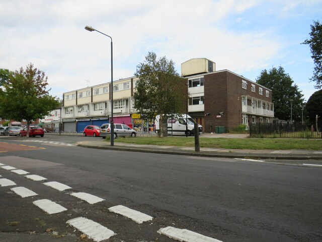
51.51311,0.16228 30/09/2010 Ashley Dace CC BY-SA 2.0 1.46 kms (NNE)
51.49593,0.16752 23/04/2017 Glyn Baker CC BY-SA 2.0 1.3 kms (ESE)
51.48449,0.14869 08/09/2015 Chris Whippet CC BY-SA 2.0 1.95 kms (S)
51.48374,0.15038 08/09/2015 Chris Whippet CC BY-SA 2.0 2.02 kms (S)
51.48416,0.15703 06/06/2021 David Martin CC BY-SA 2.0 2.01 kms (SSE)
51.48317,0.15208 08/09/2015 Chris Whippet CC BY-SA 2.0 2.08 kms (S)
51.48263,0.15234 08/09/2015 Chris Whippet CC BY-SA 2.0 2.15 kms (S)
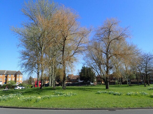
51.51612,0.16473 08/11/2009 N Chadwick CC BY-SA 2.0 1.83 kms (NNE)
51.48406,0.14291 06/06/2021 David Martin CC BY-SA 2.0 2.07 kms (SSW)
51.4829,0.15711 19/04/2016 Marathon CC BY-SA 2.0 2.15 kms (S)
51.48208,0.15275 08/09/2015 Chris Whippet CC BY-SA 2.0 2.21 kms (S)
51.48202,0.15145 06/06/2021 David Martin CC BY-SA 2.0 2.21 kms (S)
51.48265,0.14615 08/09/2015 Chris Whippet CC BY-SA 2.0 2.17 kms (S)
51.48236,0.14715 08/09/2015 Chris Whippet CC BY-SA 2.0 2.19 kms (S)
51.48247,0.14614 08/09/2015 Chris Whippet CC BY-SA 2.0 2.19 kms (S)
51.49587,0.17083 23/04/2017 Glyn Baker CC BY-SA 2.0 1.51 kms (ESE)
51.49621,0.17171 30/12/2017 Malc McDonald CC BY-SA 2.0 1.55 kms (ESE)
51.49985,0.13025 18/09/2021 Malc McDonald CC BY-SA 2.0 1.48 kms (W)
51.49985,0.13025 18/09/2021 Malc McDonald CC BY-SA 2.0 1.48 kms (W)
51.4963,0.17186 06/07/2015 Chris Whippet CC BY-SA 2.0 1.55 kms (ESE)
51.49724,0.13056 06/07/2015 Chris Whippet CC BY-SA 2.0 1.53 kms (WSW)
51.49558,0.17197 06/07/2015 Chris Whippet CC BY-SA 2.0 1.59 kms (ESE)
51.48124,0.14465 06/06/2021 David Martin CC BY-SA 2.0 2.35 kms (S)
51.48124,0.1445 08/09/2015 Chris Whippet CC BY-SA 2.0 2.35 kms (S)
51.48059,0.14562 06/06/2021 David Martin CC BY-SA 2.0 2.4 kms (S)
51.49583,0.17285 30/06/2011 Robin Webster CC BY-SA 2.0 1.63 kms (ESE)
51.51141,0.17172 21/09/2005 Glyn Baker CC BY-SA 2.0 1.76 kms (NE)
51.51141,0.17172 21/09/2005 Glyn Baker CC BY-SA 2.0 1.76 kms (NE)
51.49529,0.17282 19/04/2016 Marathon CC BY-SA 2.0 1.66 kms (ESE)
51.48062,0.14418 08/09/2015 Chris Whippet CC BY-SA 2.0 2.42 kms (S)
51.48062,0.14404 06/06/2021 David Martin CC BY-SA 2.0 2.42 kms (SSW)
51.47962,0.15479 23/01/2021 Marathon CC BY-SA 2.0 2.49 kms (S)
51.47962,0.15479 23/01/2021 Marathon CC BY-SA 2.0 2.49 kms (S)

51.49386,0.17261 28/02/2015 David Martin CC BY-SA 2.0 1.72 kms (ESE)
51.49368,0.1726 28/02/2015 David Martin CC BY-SA 2.0 1.73 kms (ESE)
51.49609,0.17344 23/04/2017 Glyn Baker CC BY-SA 2.0 1.66 kms (ESE)
51.50321,0.12853 18/09/2021 Malc McDonald CC BY-SA 2.0 1.59 kms (W)
51.48055,0.14317 08/09/2015 Chris Whippet CC BY-SA 2.0 2.44 kms (SSW)
51.5006,0.12841 14/06/2021 Marathon CC BY-SA 2.0 1.6 kms (W)
51.49385,0.1729 30/06/2011 Robin Webster CC BY-SA 2.0 1.74 kms (ESE)
51.50033,0.1284 14/06/2021 Marathon CC BY-SA 2.0 1.6 kms (W)
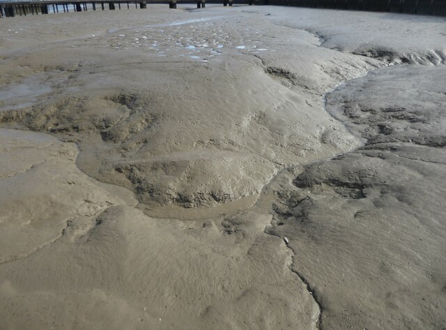
51.5094,0.17321 30/09/2010 Ashley Dace CC BY-SA 2.0 1.73 kms (ENE)
51.50078,0.12827 14/06/2021 Marathon CC BY-SA 2.0 1.6 kms (W)
51.48018,0.14344 08/09/2015 Chris Whippet CC BY-SA 2.0 2.48 kms (SSW)
51.50142,0.12816 14/06/2021 Marathon CC BY-SA 2.0 1.61 kms (W)
51.49989,0.12823 14/06/2021 Marathon CC BY-SA 2.0 1.62 kms (W)
51.49206,0.17252 19/04/2016 Marathon CC BY-SA 2.0 1.83 kms (SE)
51.50277,0.12793 18/09/2021 Malc McDonald CC BY-SA 2.0 1.62 kms (W)
51.48702,0.13325 14/04/2020 Marathon CC BY-SA 2.0 2.08 kms (SW)
51.48839,0.13216 29/03/2021 Marathon CC BY-SA 2.0 2.01 kms (SW)
51.50277,0.12779 18/09/2021 Malc McDonald CC BY-SA 2.0 1.63 kms (W)
51.47835,0.15027 08/09/2015 Chris Whippet CC BY-SA 2.0 2.62 kms (S)
51.49917,0.12791 18/09/2021 Malc McDonald CC BY-SA 2.0 1.65 kms (W)
51.49638,0.12836 18/09/2021 Malc McDonald CC BY-SA 2.0 1.71 kms (WSW)
51.47927,0.14398 08/09/2015 Chris Whippet CC BY-SA 2.0 2.57 kms (S)
51.47811,0.14882 08/09/2015 Chris Whippet CC BY-SA 2.0 2.65 kms (S)
51.48831,0.13158 25/04/2021 Marathon CC BY-SA 2.0 2.04 kms (SW)
51.48658,0.1328 29/03/2021 Marathon CC BY-SA 2.0 2.14 kms (SW)
51.47795,0.14752 08/09/2015 Chris Whippet CC BY-SA 2.0 2.68 kms (S)
51.48924,0.13033 02/06/2020 Marathon CC BY-SA 2.0 2.03 kms (SW)
51.51308,0.12942 08/05/2020 Marathon CC BY-SA 2.0 1.96 kms (NW)
51.47749,0.14821 08/09/2015 Chris Whippet CC BY-SA 2.0 2.72 kms (S)
51.47779,0.14636 08/09/2015 Chris Whippet CC BY-SA 2.0 2.7 kms (S)
51.47744,0.14605 08/09/2015 Chris Whippet CC BY-SA 2.0 2.75 kms (S)
51.51598,0.17237 16/11/2016 Marathon CC BY-SA 2.0 2.14 kms (NE)
51.48716,0.13081 29/03/2021 Marathon CC BY-SA 2.0 2.17 kms (SW)
51.48588,0.13176 29/03/2021 Marathon CC BY-SA 2.0 2.24 kms (SW)
51.47775,0.14376 08/09/2015 Chris Whippet CC BY-SA 2.0 2.74 kms (S)
51.5131,0.12856 25/04/2021 David Martin CC BY-SA 2.0 2.01 kms (NW)
51.51328,0.12857 08/05/2020 Marathon CC BY-SA 2.0 2.02 kms (NW)
51.51319,0.12842 08/05/2020 Marathon CC BY-SA 2.0 2.02 kms (NW)
51.51319,0.12842 08/05/2020 Marathon CC BY-SA 2.0 2.02 kms (NW)
51.48689,0.13065 29/03/2021 Marathon CC BY-SA 2.0 2.2 kms (SW)
51.48618,0.13047 29/03/2021 Marathon CC BY-SA 2.0 2.27 kms (SW)
51.49913,0.12503 22/03/2015 Chris Whippet CC BY-SA 2.0 1.85 kms (W)
51.51577,0.17408 16/11/2016 Marathon CC BY-SA 2.0 2.2 kms (NE)
51.49119,0.12682 07/12/2008 Stephen Craven CC BY-SA 2.0 2.08 kms (SW)
51.48931,0.17513 06/06/2021 David Martin CC BY-SA 2.0 2.16 kms (SE)
51.47616,0.14225 08/09/2015 Chris Whippet CC BY-SA 2.0 2.93 kms (SSW)
51.47913,0.16644 30/03/2014 Chris Whippet CC BY-SA 2.0 2.74 kms (SSE)
51.51296,0.12625 08/05/2020 Marathon CC BY-SA 2.0 2.13 kms (NW)
51.47626,0.14153 08/09/2015 Chris Whippet CC BY-SA 2.0 2.93 kms (SSW)
51.49888,0.12401 22/03/2015 Chris Whippet CC BY-SA 2.0 1.92 kms (W)
51.51091,0.12529 08/05/2020 Marathon CC BY-SA 2.0 2.06 kms (WNW)
51.47947,0.16746 30/03/2014 Chris Whippet CC BY-SA 2.0 2.73 kms (SSE)
51.48035,0.16866 30/03/2014 Chris Whippet CC BY-SA 2.0 2.68 kms (SSE)
51.47646,0.14024 08/09/2015 Chris Whippet CC BY-SA 2.0 2.93 kms (SSW)

51.48707,0.17502 06/06/2021 David Martin CC BY-SA 2.0 2.33 kms (SE)
51.47658,0.16315 30/03/2014 Chris Whippet CC BY-SA 2.0 2.93 kms (SSE)
51.51333,0.12583 08/05/2020 Marathon CC BY-SA 2.0 2.18 kms (NW)
51.47439,0.14533 08/09/2015 Chris Whippet CC BY-SA 2.0 3.09 kms (S)
51.47588,0.16239 30/03/2014 Chris Whippet CC BY-SA 2.0 2.99 kms (SSE)
51.48608,0.17512 06/06/2021 David Martin CC BY-SA 2.0 2.41 kms (SE)
51.5128,0.12494 25/04/2021 David Martin CC BY-SA 2.0 2.19 kms (WNW)
51.47517,0.16207 30/03/2014 Chris Whippet CC BY-SA 2.0 3.07 kms (SSE)
51.47349,0.14572 08/09/2015 Chris Whippet CC BY-SA 2.0 3.19 kms (S)
51.4963,0.12288 18/09/2021 Malc McDonald CC BY-SA 2.0 2.07 kms (WSW)
51.47445,0.16204 30/03/2014 Chris Whippet CC BY-SA 2.0 3.14 kms (SSE)
51.47324,0.15939 22/05/2013 John Salmon CC BY-SA 2.0 3.24 kms (S)
51.4802,0.17182 30/03/2014 Chris Whippet CC BY-SA 2.0 2.8 kms (SSE)
51.48595,0.17684 24/09/2020 Marathon CC BY-SA 2.0 2.5 kms (SE)
51.47287,0.15952 30/03/2014 Chris Whippet CC BY-SA 2.0 3.28 kms (S)
51.49669,0.12117 22/03/2015 Chris Whippet CC BY-SA 2.0 2.17 kms (WSW)
51.49326,0.12187 06/07/2015 Chris Whippet CC BY-SA 2.0 2.26 kms (WSW)
51.4929,0.12185 06/07/2015 Chris Whippet CC BY-SA 2.0 2.28 kms (WSW)
51.49498,0.12123 06/07/2015 Chris Whippet CC BY-SA 2.0 2.22 kms (WSW)
51.47205,0.16005 30/03/2014 Chris Whippet CC BY-SA 2.0 3.37 kms (S)
51.49092,0.12162 27/11/2015 Jim Osley CC BY-SA 2.0 2.39 kms (WSW)
51.47497,0.13326 14/07/2019 Malc McDonald CC BY-SA 2.0 3.25 kms (SSW)
51.47433,0.13424 01/01/1970 GHC CC BY-SA 2.0 3.29 kms (SSW)
51.47977,0.17568 30/03/2014 Chris Whippet CC BY-SA 2.0 2.98 kms (SE)
51.47341,0.13492 15/03/2012 Robin Webster CC BY-SA 2.0 3.37 kms (SSW)
51.47268,0.13589 14/07/2019 Malc McDonald CC BY-SA 2.0 3.42 kms (SSW)
51.49113,0.12004 22/05/2018 Nigel Thompson CC BY-SA 2.0 2.48 kms (WSW)
51.47985,0.17626 30/03/2014 Chris Whippet CC BY-SA 2.0 3 kms (SE)

51.48129,0.17763 29/09/2012 Wayland Smith CC BY-SA 2.0 2.93 kms (SE)
51.47958,0.17625 13/12/2014 Marathon CC BY-SA 2.0 3.02 kms (SE)
51.47967,0.1764 11/04/2017 Dave Kelly CC BY-SA 2.0 3.02 kms (SE)
51.47324,0.16904 15/02/2015 David Howard CC BY-SA 2.0 3.42 kms (SSE)
51.47306,0.16889 15/02/2015 David Howard CC BY-SA 2.0 3.43 kms (SSE)
51.48008,0.17815 04/06/2015 Des Blenkinsopp CC BY-SA 2.0 3.05 kms (SE)
51.48906,0.18376 29/09/2012 Wayland Smith CC BY-SA 2.0 2.66 kms (ESE)
51.47451,0.17299 15/02/2015 David Howard CC BY-SA 2.0 3.4 kms (SSE)
51.49947,0.11625 19/04/2016 Marathon CC BY-SA 2.0 2.45 kms (W)
51.48184,0.18039 24/09/2020 Marathon CC BY-SA 2.0 3 kms (SE)
51.47239,0.17101 15/02/2015 David Howard CC BY-SA 2.0 3.55 kms (SSE)
51.49876,0.11593 19/04/2015 Stephen Craven CC BY-SA 2.0 2.48 kms (W)
51.48343,0.18205 24/09/2020 Marathon CC BY-SA 2.0 2.96 kms (SE)
51.47299,0.17263 15/02/2015 David Howard CC BY-SA 2.0 3.54 kms (SSE)
51.5167,0.11849 10/05/2020 Glyn Baker CC BY-SA 2.0 2.81 kms (NW)
51.4948,0.11589 12/04/2016 David Martin CC BY-SA 2.0 2.58 kms (WSW)
51.47315,0.17364 15/02/2015 David Howard CC BY-SA 2.0 3.55 kms (SSE)
51.49742,0.11515 18/09/2021 Malc McDonald CC BY-SA 2.0 2.56 kms (WSW)
51.50794,0.1152 29/03/2021 Marathon CC BY-SA 2.0 2.59 kms (WNW)
51.49905,0.1145 19/04/2015 Stephen Craven CC BY-SA 2.0 2.57 kms (W)
51.47278,0.1742 15/02/2015 David Howard CC BY-SA 2.0 3.6 kms (SSE)
51.53834,0.15959 28/08/2017 Malc McDonald CC BY-SA 2.0 4.09 kms (N)
51.50129,0.18896 18/09/2011 Robin Webster CC BY-SA 2.0 2.6 kms (E)
51.50524,0.189 07/11/2012 David Anstiss CC BY-SA 2.0 2.63 kms (E)
51.48276,0.18432 22/10/2019 Marathon CC BY-SA 2.0 3.12 kms (SE)
51.54006,0.1539 28/08/2017 Malc McDonald CC BY-SA 2.0 4.25 kms (N)
51.50295,0.1131 24/04/2020 Marathon CC BY-SA 2.0 2.65 kms (W)
51.54025,0.15376 28/08/2017 Malc McDonald CC BY-SA 2.0 4.27 kms (N)
51.50286,0.11295 24/04/2020 Marathon CC BY-SA 2.0 2.66 kms (W)
51.54026,0.14814 28/08/2017 Malc McDonald CC BY-SA 2.0 4.27 kms (N)
51.51818,0.11625 21/10/2018 Malc McDonald CC BY-SA 2.0 3.03 kms (NW)
51.50295,0.11267 24/04/2020 Marathon CC BY-SA 2.0 2.68 kms (W)
51.51755,0.11594 30/06/2011 Robin Webster CC BY-SA 2.0 3.01 kms (NW)
51.50108,0.1901 18/09/2011 Robin Webster CC BY-SA 2.0 2.68 kms (E)
51.51702,0.11562 30/06/2011 Robin Webster CC BY-SA 2.0 2.99 kms (NW)
51.50081,0.19023 18/09/2011 Robin Webster CC BY-SA 2.0 2.69 kms (E)
51.488,0.18774 04/04/2020 Glyn Baker CC BY-SA 2.0 2.96 kms (ESE)
51.53984,0.16124 28/08/2017 Malc McDonald CC BY-SA 2.0 4.27 kms (N)
51.49757,0.11227 19/04/2015 Stephen Craven CC BY-SA 2.0 2.75 kms (W)
51.46271,0.15457 06/07/2015 Chris Whippet CC BY-SA 2.0 4.36 kms (S)
51.50737,0.1904 08/11/2009 N Chadwick CC BY-SA 2.0 2.77 kms (ENE)
51.54141,0.1492 24/04/2011 Robin Webster CC BY-SA 2.0 4.39 kms (N)
51.50674,0.19066 07/11/2012 David Anstiss CC BY-SA 2.0 2.77 kms (ENE)
51.50728,0.19069 08/11/2009 N Chadwick CC BY-SA 2.0 2.79 kms (ENE)
51.50315,0.11167 24/04/2020 Marathon CC BY-SA 2.0 2.75 kms (W)
51.50306,0.11166 24/04/2020 Marathon CC BY-SA 2.0 2.75 kms (W)
51.52078,0.11638 31/10/2020 David Howard CC BY-SA 2.0 3.2 kms (NW)
51.48927,0.11362 30/12/2017 Malc McDonald CC BY-SA 2.0 2.97 kms (WSW)
51.50719,0.19082 08/11/2009 N Chadwick CC BY-SA 2.0 2.79 kms (ENE)
51.46242,0.14621 08/09/2015 Chris Whippet CC BY-SA 2.0 4.41 kms (S)
51.51936,0.11544 10/05/2020 Glyn Baker CC BY-SA 2.0 3.15 kms (NW)
51.5417,0.14792 13/02/2020 Stephen McKay CC BY-SA 2.0 4.43 kms (N)
51.54171,0.14778 13/02/2020 Stephen McKay CC BY-SA 2.0 4.43 kms (N)
51.54189,0.14778 13/02/2020 Stephen McKay CC BY-SA 2.0 4.45 kms (N)
51.51856,0.11483 31/10/2020 David Howard CC BY-SA 2.0 3.13 kms (NW)
51.47995,0.18505 23/04/2017 Glyn Baker CC BY-SA 2.0 3.38 kms (SE)
51.50736,0.19127 08/11/2009 N Chadwick CC BY-SA 2.0 2.83 kms (ENE)
51.52267,0.11661 31/10/2020 David Howard CC BY-SA 2.0 3.33 kms (NW)
51.52276,0.11632 31/10/2020 David Howard CC BY-SA 2.0 3.35 kms (NW)
51.48012,0.18607 23/04/2017 Glyn Baker CC BY-SA 2.0 3.41 kms (SE)
51.48929,0.11218 30/12/2017 Malc McDonald CC BY-SA 2.0 3.05 kms (WSW)
51.516,0.11255 30/06/2011 Robin Webster CC BY-SA 2.0 3.11 kms (WNW)
51.48028,0.1868 23/10/2016 Chris Heaton CC BY-SA 2.0 3.44 kms (SE)
51.51823,0.11309 31/10/2020 David Howard CC BY-SA 2.0 3.21 kms (NW)
51.51646,0.1904 09/06/2005 Ben Brooksbank CC BY-SA 2.0 3.15 kms (ENE)
51.51664,0.19041 23/06/2021 Robert Lamb CC BY-SA 2.0 3.16 kms (ENE)
51.51663,0.19056 09/06/2005 Ben Brooksbank CC BY-SA 2.0 3.17 kms (ENE)
51.47841,0.18613 23/04/2017 Glyn Baker CC BY-SA 2.0 3.55 kms (SE)
51.51862,0.18993 28/08/2017 Malc McDonald CC BY-SA 2.0 3.25 kms (NE)
51.51717,0.19058 10/05/2020 Glyn Baker CC BY-SA 2.0 3.2 kms (ENE)
51.52635,0.11692 31/10/2020 David Howard CC BY-SA 2.0 3.61 kms (NW)
51.47211,0.18137 29/03/2014 Chris Whippet CC BY-SA 2.0 3.91 kms (SSE)
51.46346,0.13359 10/08/2017 Nigel Thompson CC BY-SA 2.0 4.45 kms (SSW)
51.51906,0.19039 19/05/2021 Robert Lamb CC BY-SA 2.0 3.31 kms (NE)
51.51852,0.19065 19/05/2021 Robert Lamb CC BY-SA 2.0 3.29 kms (NE)
51.51906,0.19053 19/05/2021 Robert Lamb CC BY-SA 2.0 3.31 kms (NE)
51.51817,0.1115 21/10/2018 Malc McDonald CC BY-SA 2.0 3.3 kms (WNW)
51.52085,0.1909 13/07/2016 Nigel Cox CC BY-SA 2.0 3.45 kms (NE)
51.47781,0.18927 23/04/2017 Glyn Baker CC BY-SA 2.0 3.75 kms (SE)
51.4768,0.1116 05/10/2021 Marathon CC BY-SA 2.0 3.92 kms (SW)
51.47617,0.11172 05/10/2021 Marathon CC BY-SA 2.0 3.97 kms (SW)
51.47179,0.1887 04/06/2014 John Salmon CC BY-SA 2.0 4.23 kms (SE)
51.46955,0.18859 28/09/2019 Richard Vince CC BY-SA 2.0 4.43 kms (SE)
51.46936,0.18872 28/09/2019 Richard Vince CC BY-SA 2.0 4.45 kms (SE)
51.46909,0.189 28/09/2019 Richard Vince CC BY-SA 2.0 4.48 kms (SE)
51.46711,0.1889 29/03/2014 Chris Whippet CC BY-SA 2.0 4.66 kms (SE)
51.468,0.18981 23/04/2017 Glyn Baker CC BY-SA 2.0 4.62 kms (SE)
51.4687,0.19071 29/03/2014 Chris Whippet CC BY-SA 2.0 4.59 kms (SE)
51.46754,0.19008 21/08/2013 N Chadwick CC BY-SA 2.0 4.67 kms (SE)
51.46734,0.19108 29/03/2014 Chris Whippet CC BY-SA 2.0 4.73 kms (SE)