-
Administrative, Civil Parish, Village 51.62118, -1.10848 2.09 kms (W) South Oxfordshire Oxfordshire South East England United Kingdom
-
Hamlet 51.61339, -1.11081 2.47 kms (WSW) South Oxfordshire Oxfordshire South East England United Kingdom
-
Place of Worship 51.6202, -1.11301 2.42 kms (W) South Oxfordshire Oxfordshire South East England United Kingdom
-
Marina 51.62005, -1.11635 2.65 kms (W) South Oxfordshire Oxfordshire South East England United Kingdom
-
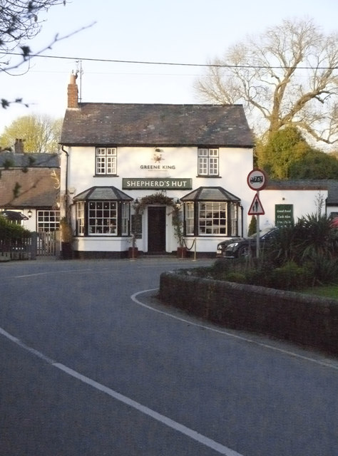
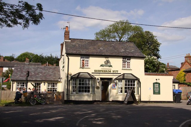
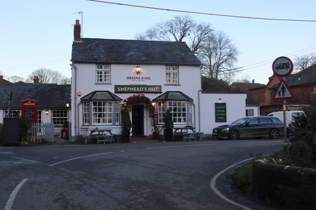
Pub 51.59838, -1.11153 3.54 kms (SW)
-
Civil Parish, Village 51.59834, -1.11276 3.6 kms (SW) South Oxfordshire Oxfordshire South East England United Kingdom
-
Administrative 51.5862, -1.10142 4.35 kms (SSW) Crowmarsh South Oxfordshire Oxfordshire South East England United Kingdom
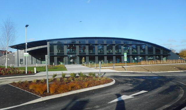
51.62248,-1.07836 11/04/2019 Stefan Czapski CC BY-SA 2.0 0.01 kms (SW)
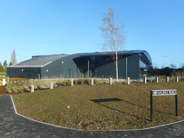
51.62248,-1.07836 02/06/2013 Steve Daniels CC BY-SA 2.0 0.01 kms (SW)
51.62284,-1.07835 02/06/2013 Steve Daniels CC BY-SA 2.0 0.03 kms (NNW)
51.6223,-1.07851 12/01/2020 David Howard CC BY-SA 2.0 0.03 kms (SW)
51.6223,-1.07764 06/06/2015 Oswald Bertram CC BY-SA 2.0 0.05 kms (SE)
51.62222,-1.07894 01/09/2019 Mark Percy CC BY-SA 2.0 0.06 kms (SW)
51.62204,-1.07895 02/06/2013 Steve Daniels CC BY-SA 2.0 0.08 kms (SW)
51.62177,-1.07866 21/04/2020 Des Blenkinsopp CC BY-SA 2.0 0.09 kms (SSW)
51.62213,-1.07909 02/06/2013 Steve Daniels CC BY-SA 2.0 0.08 kms (SW)
51.62213,-1.07952 09/07/2014 Alan Murray-Rust CC BY-SA 2.0 0.1 kms (WSW)
51.62159,-1.07924 12/01/2020 David Howard CC BY-SA 2.0 0.13 kms (SSW)
51.62195,-1.07952 12/01/2020 David Howard CC BY-SA 2.0 0.11 kms (SW)
51.6224,-1.07995 09/07/2014 Alan Murray-Rust CC BY-SA 2.0 0.12 kms (W)
51.62069,-1.07969 24/09/2015 Steve Daniels CC BY-SA 2.0 0.23 kms (SSW)
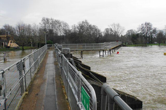
51.61652,-1.10982 18/02/2021 Des Blenkinsopp CC BY-SA 2.0 2.28 kms (WSW)
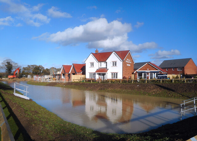
51.61779,-1.11167 22/02/2021 Des Blenkinsopp CC BY-SA 2.0 2.37 kms (WSW)
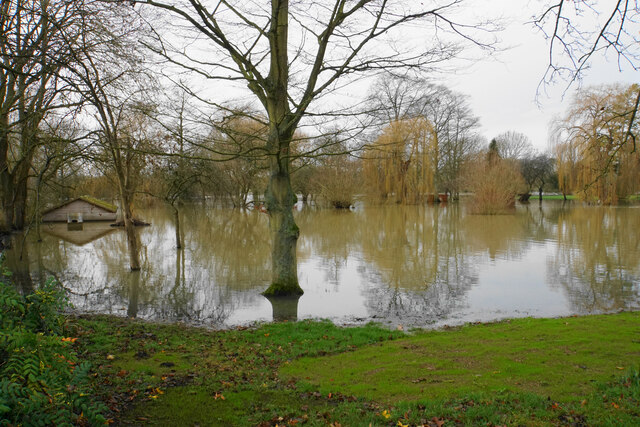
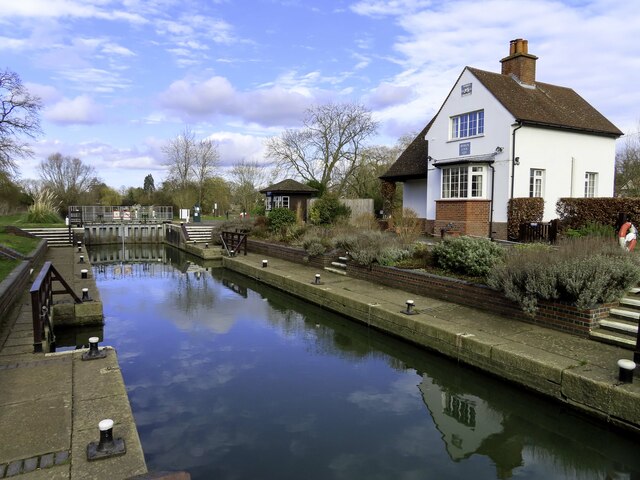
51.61986,-1.11192 28/12/2020 Bill Boaden CC BY-SA 2.0 2.35 kms (W)
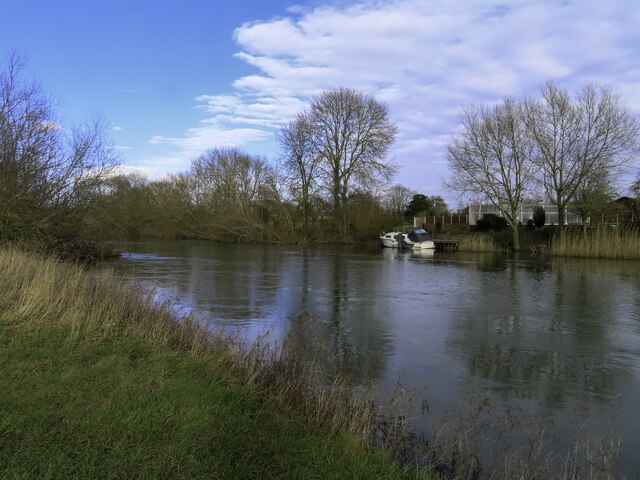
51.6178,-1.1124 22/02/2021 Des Blenkinsopp CC BY-SA 2.0 2.42 kms (WSW)
51.61789,-1.11283 22/02/2021 Des Blenkinsopp CC BY-SA 2.0 2.44 kms (WSW)
51.61511,-1.1136 18/02/2021 Des Blenkinsopp CC BY-SA 2.0 2.58 kms (WSW)
51.61466,-1.11376 28/12/2020 Bill Boaden CC BY-SA 2.0 2.61 kms (WSW)
51.61223,-1.11366 25/02/2021 Steve Daniels CC BY-SA 2.0 2.7 kms (WSW)
51.61602,-1.1146 28/12/2020 Bill Boaden CC BY-SA 2.0 2.61 kms (WSW)
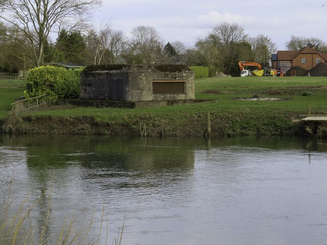
51.61926,-1.11526 28/12/2020 Bill Boaden CC BY-SA 2.0 2.58 kms (W)
51.61638,-1.11517 25/02/2021 Steve Daniels CC BY-SA 2.0 2.64 kms (WSW)
51.6162,-1.11517 25/02/2021 Steve Daniels CC BY-SA 2.0 2.65 kms (WSW)
51.61611,-1.11517 25/02/2021 Steve Daniels CC BY-SA 2.0 2.65 kms (WSW)
51.61341,-1.11479 25/02/2021 Steve Daniels CC BY-SA 2.0 2.72 kms (WSW)
51.61629,-1.11546 28/12/2020 Bill Boaden CC BY-SA 2.0 2.66 kms (WSW)
51.60069,-1.10941 18/02/2021 Des Blenkinsopp CC BY-SA 2.0 3.25 kms (SW)
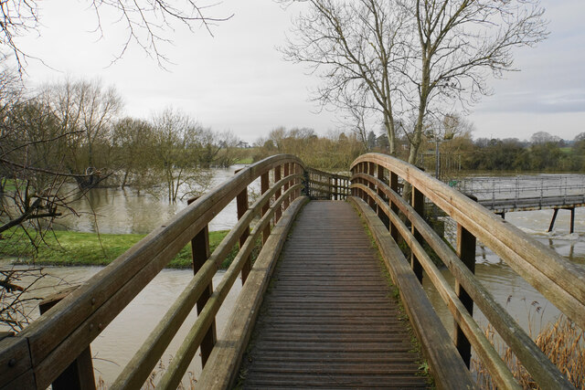
51.61684,-1.11603 25/02/2021 Steve Daniels CC BY-SA 2.0 2.69 kms (WSW)
51.61017,-1.11442 25/02/2021 Steve Daniels CC BY-SA 2.0 2.85 kms (WSW)
51.6026,-1.11154 18/02/2021 Des Blenkinsopp CC BY-SA 2.0 3.2 kms (SW)
51.58709,-1.09409 29/02/2012 Stuart Logan CC BY-SA 2.0 4.09 kms (SSW)
51.60946,-1.11487 25/02/2021 Steve Daniels CC BY-SA 2.0 2.92 kms (WSW)
51.6026,-1.11183 25/02/2021 Steve Daniels CC BY-SA 2.0 3.21 kms (SW)
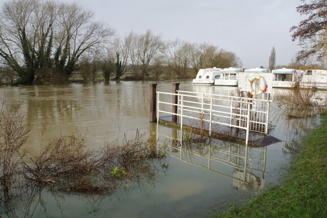
51.61694,-1.11732 25/02/2021 Steve Daniels CC BY-SA 2.0 2.77 kms (WSW)
51.58719,-1.09625 26/08/2017 Robin Webster CC BY-SA 2.0 4.12 kms (SSW)
51.58573,-1.09354 04/05/2020 Des Blenkinsopp CC BY-SA 2.0 4.23 kms (SSW)
51.60676,-1.11536 25/02/2021 Steve Daniels CC BY-SA 2.0 3.11 kms (SW)
51.60712,-1.11564 25/02/2021 Steve Daniels CC BY-SA 2.0 3.1 kms (SW)
51.60243,-1.11342 18/02/2021 Des Blenkinsopp CC BY-SA 2.0 3.3 kms (SW)
51.60668,-1.11593 25/02/2021 Steve Daniels CC BY-SA 2.0 3.15 kms (SW)
51.58503,-1.09528 28/02/2010 Bill Nicholls CC BY-SA 2.0 4.33 kms (SSW)
51.58494,-1.09567 04/04/2011 Roger Templeman CC BY-SA 2.0 4.35 kms (SSW)
51.58485,-1.09557 28/02/2010 Bill Nicholls CC BY-SA 2.0 4.36 kms (SSW)

51.58476,-1.09543 28/02/2010 Bill Nicholls CC BY-SA 2.0 4.37 kms (SSW)
51.58522,-1.09643 28/02/2010 Bill Nicholls CC BY-SA 2.0 4.34 kms (SSW)
51.6056,-1.11668 25/02/2021 Steve Daniels CC BY-SA 2.0 3.26 kms (SW)
51.59241,-1.10769 17/01/2021 Des Blenkinsopp CC BY-SA 2.0 3.92 kms (SSW)
51.58413,-1.09573 28/02/2010 Bill Nicholls CC BY-SA 2.0 4.44 kms (SSW)
51.59168,-1.10713 29/05/2016 David Howard CC BY-SA 2.0 3.97 kms (SSW)
51.59159,-1.10713 18/07/2021 Robin Webster CC BY-SA 2.0 3.98 kms (SSW)
51.5915,-1.10728 17/01/2021 Des Blenkinsopp CC BY-SA 2.0 3.99 kms (SSW)
51.60146,-1.11546 02/02/2021 Des Blenkinsopp CC BY-SA 2.0 3.48 kms (SW)
51.58571,-1.10205 02/03/2021 Des Blenkinsopp CC BY-SA 2.0 4.41 kms (SSW)
51.60363,-1.11787 25/02/2021 Steve Daniels CC BY-SA 2.0 3.45 kms (SW)
51.60345,-1.11787 25/02/2021 Steve Daniels CC BY-SA 2.0 3.46 kms (SW)
51.58307,-1.09821 28/02/2010 Bill Nicholls CC BY-SA 2.0 4.6 kms (SSW)
51.58619,-1.10565 04/04/2011 Roger Templeman CC BY-SA 2.0 4.46 kms (SSW)
51.58419,-1.10338 08/08/2012 Des Blenkinsopp CC BY-SA 2.0 4.61 kms (SSW)
51.59344,-1.11374 07/09/2021 Des Blenkinsopp CC BY-SA 2.0 4.06 kms (SW)
51.58301,-1.10182 08/08/2012 Des Blenkinsopp CC BY-SA 2.0 4.69 kms (SSW)
51.59472,-1.1166 26/12/2020 Bill Boaden CC BY-SA 2.0 4.07 kms (SW)
51.59328,-1.11562 26/12/2020 Bill Boaden CC BY-SA 2.0 4.15 kms (SW)
51.58749,-1.11154 26/10/2019 David Howard CC BY-SA 2.0 4.53 kms (SSW)
51.58686,-1.11141 12/02/2015 Roger Templeman CC BY-SA 2.0 4.58 kms (SSW)
51.58686,-1.11141 12/02/2015 Roger Templeman CC BY-SA 2.0 4.58 kms (SSW)
51.58668,-1.11156 12/02/2015 Roger Templeman CC BY-SA 2.0 4.6 kms (SSW)
51.58969,-1.11727 12/11/2020 Des Blenkinsopp CC BY-SA 2.0 4.54 kms (SW)
51.5897,-1.11771 12/11/2020 Des Blenkinsopp CC BY-SA 2.0 4.56 kms (SW)